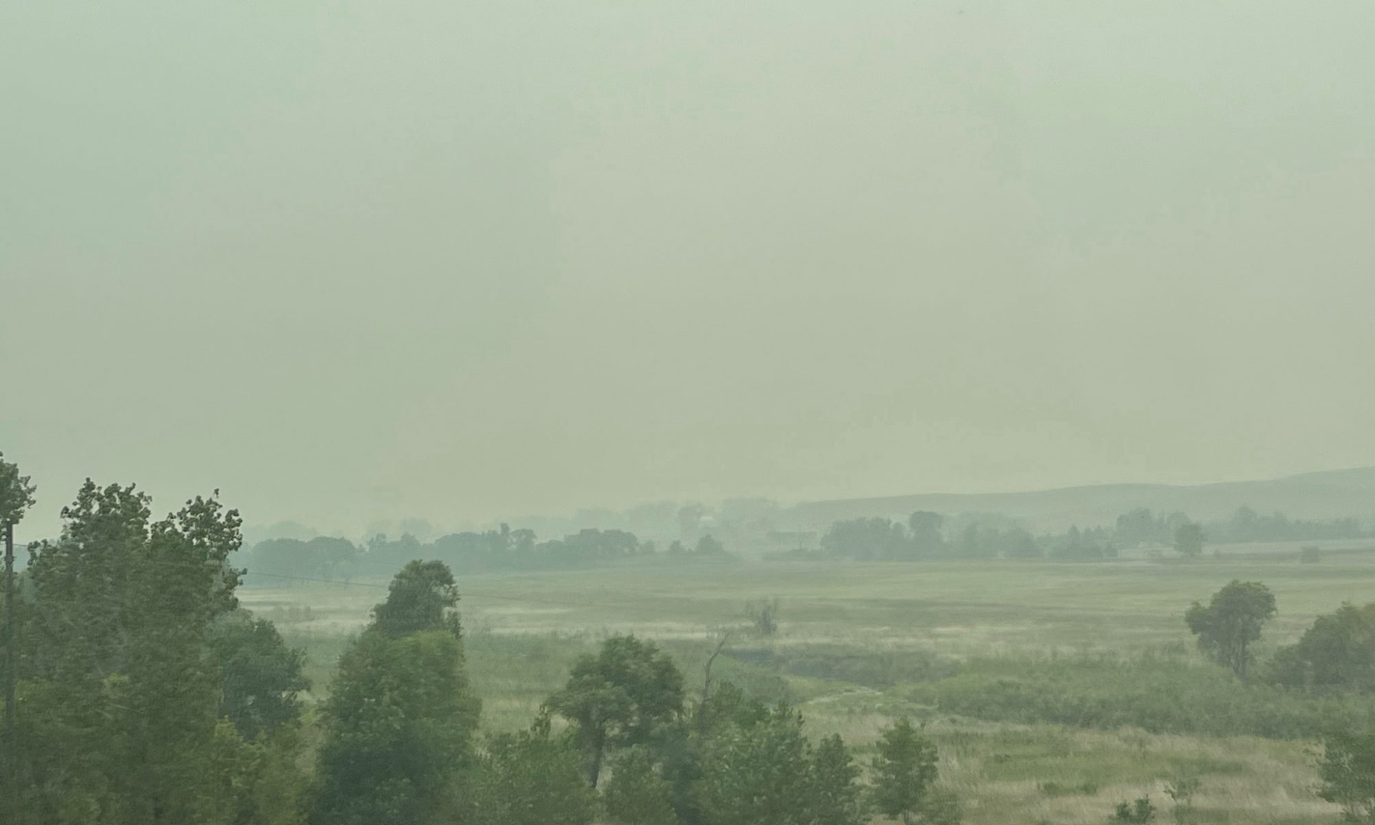
You know how it is when you’ve gone someplace you were really looking forward to – then you head home. Oftentimes that drive home is simply a boring drive. There’s nothing more to see. Your trip is over and you just want to get home. I did not want to end this awesome month-long journey in that manner!
I usually rode the school bus home, but when I needed to stay for 7th grade cheerleading practice, Mom picked me up after work at 3:30. The inside of the old car had soaked up the warm sun of the fall afternoon, and I immediately relaxed as I slid onto the fabric seat. Although far more exhausted than I, having worked all day in the shop , Mom greeted me with a hug and a smile. As she drove, I pulled out my book, Little Women, read all the way home,
You cannot escape the responsibility of tomorrow by evading it today.
~ Abraham Lincoln
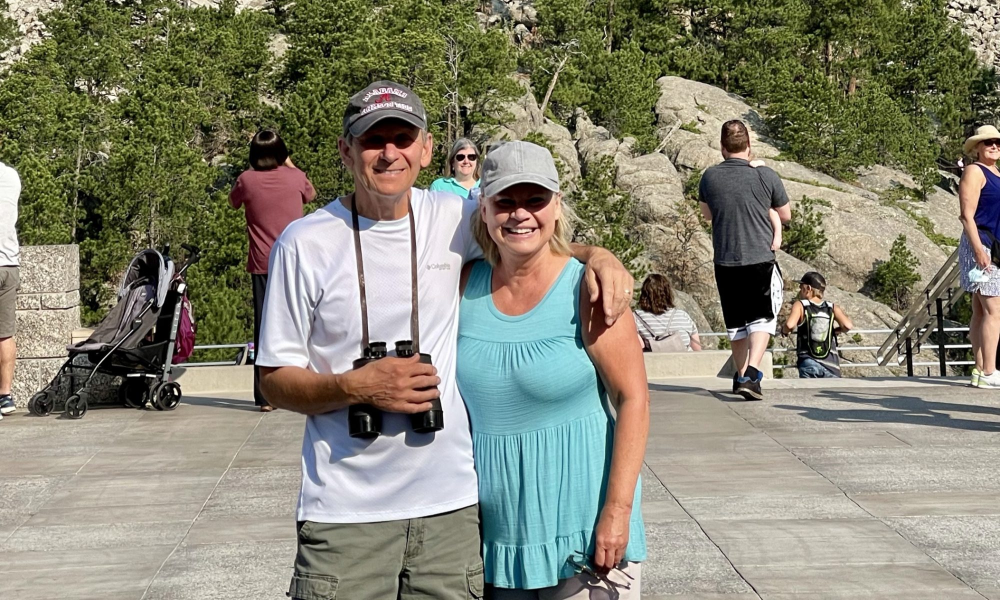
Those of you who personally know Ron and me are aware: we are patriots. It seems to make the division in this country in the last few years most disheartening, to say the least. I think that may be the reason God led us to Mt. Rushmore in our western state journey – to remind us that we are not alone in our love for this beautiful country of ours – and to challenge us
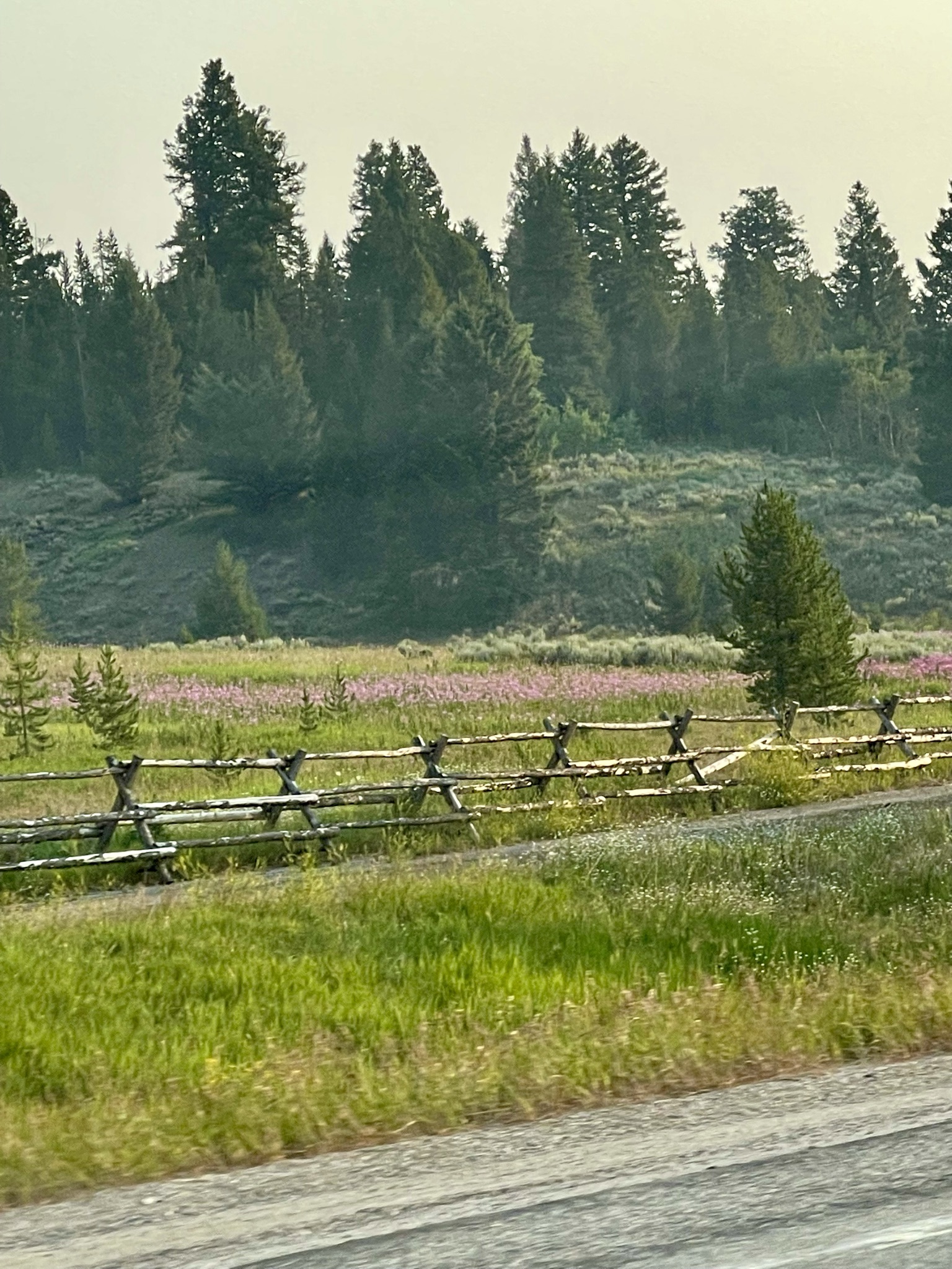
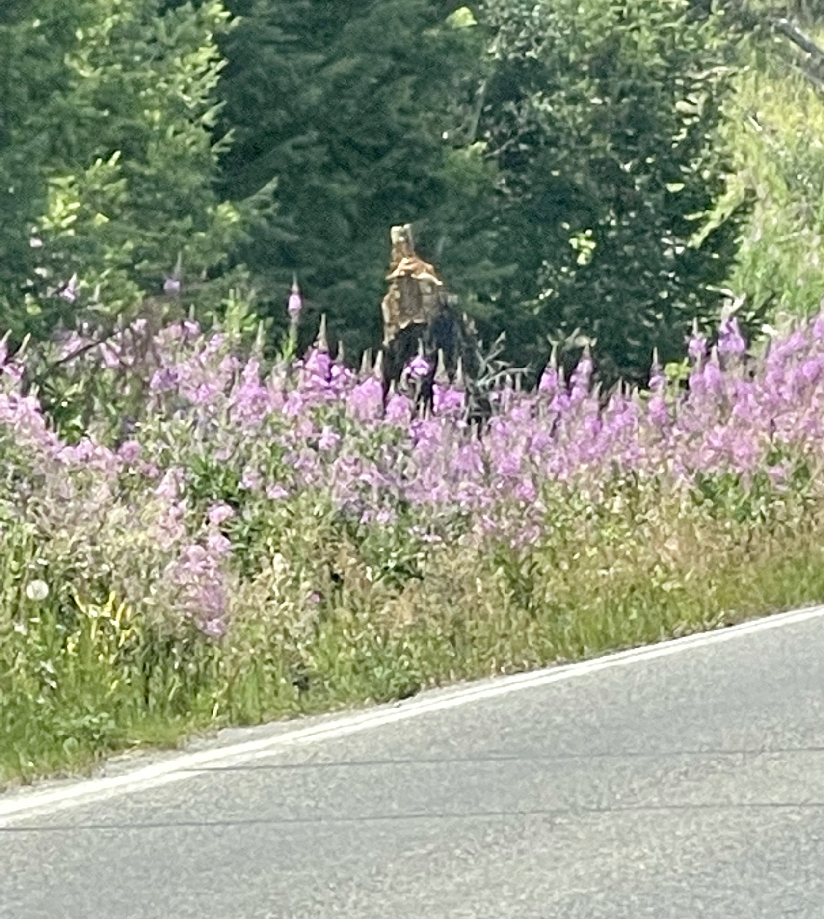
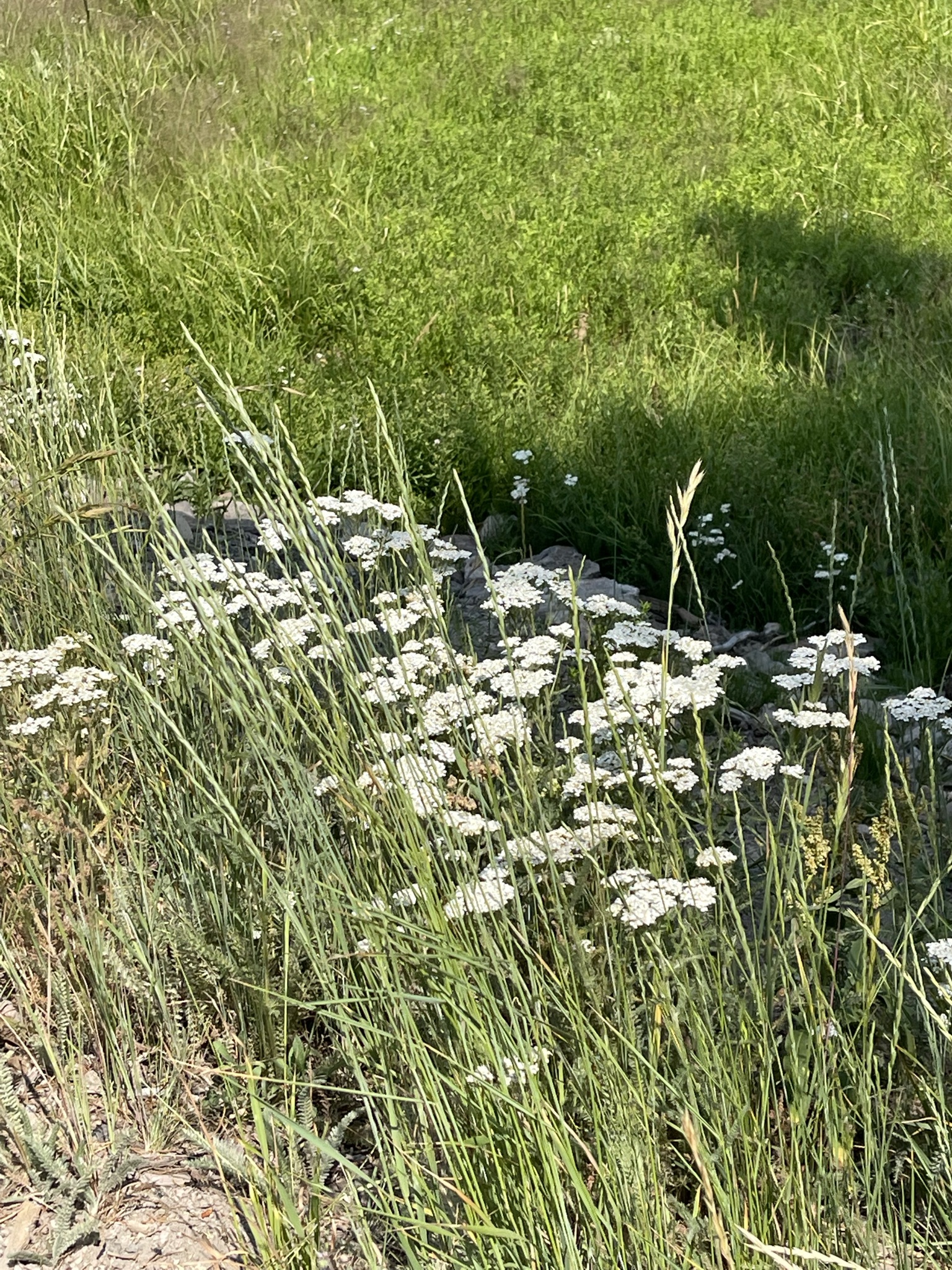
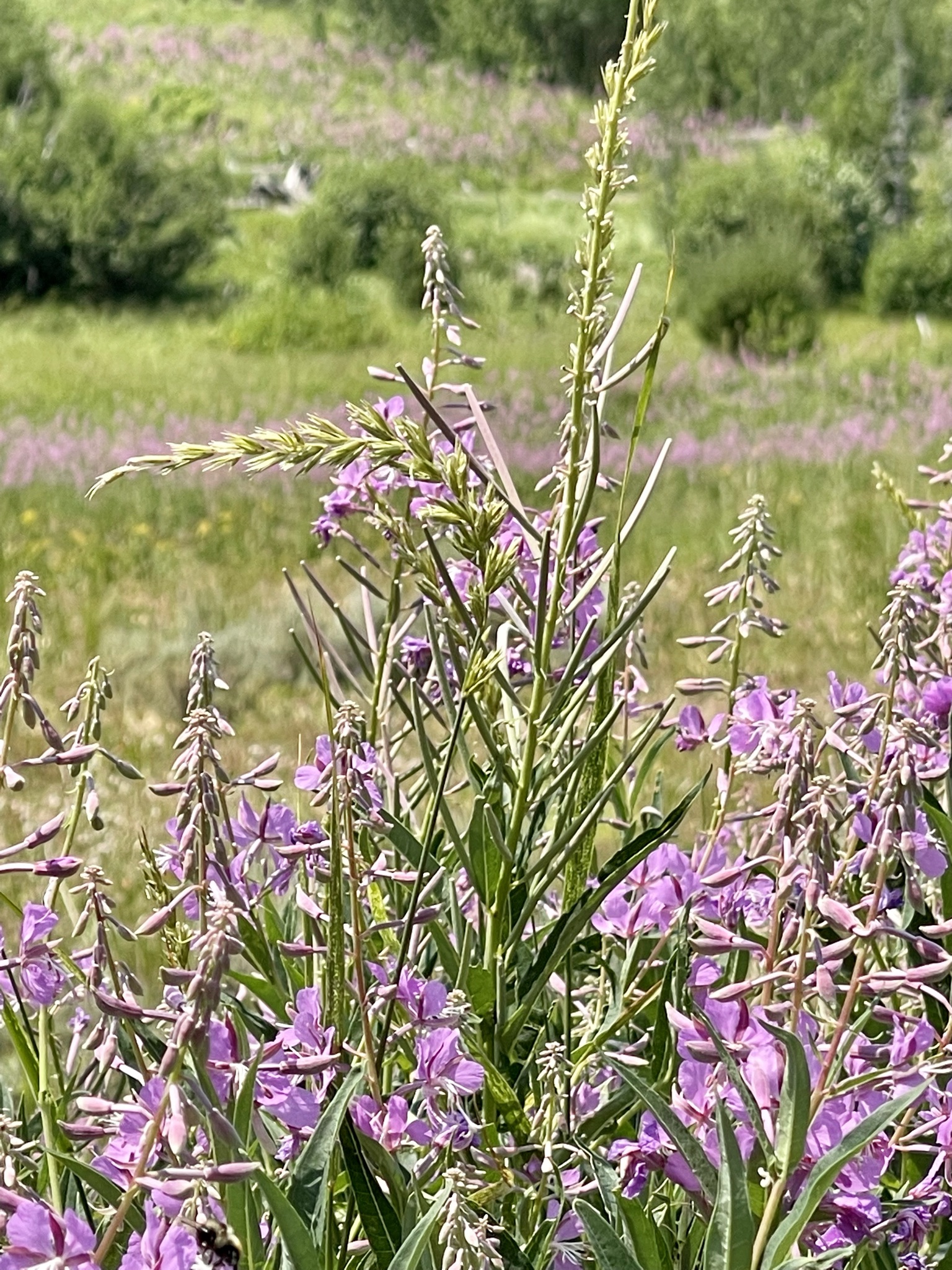
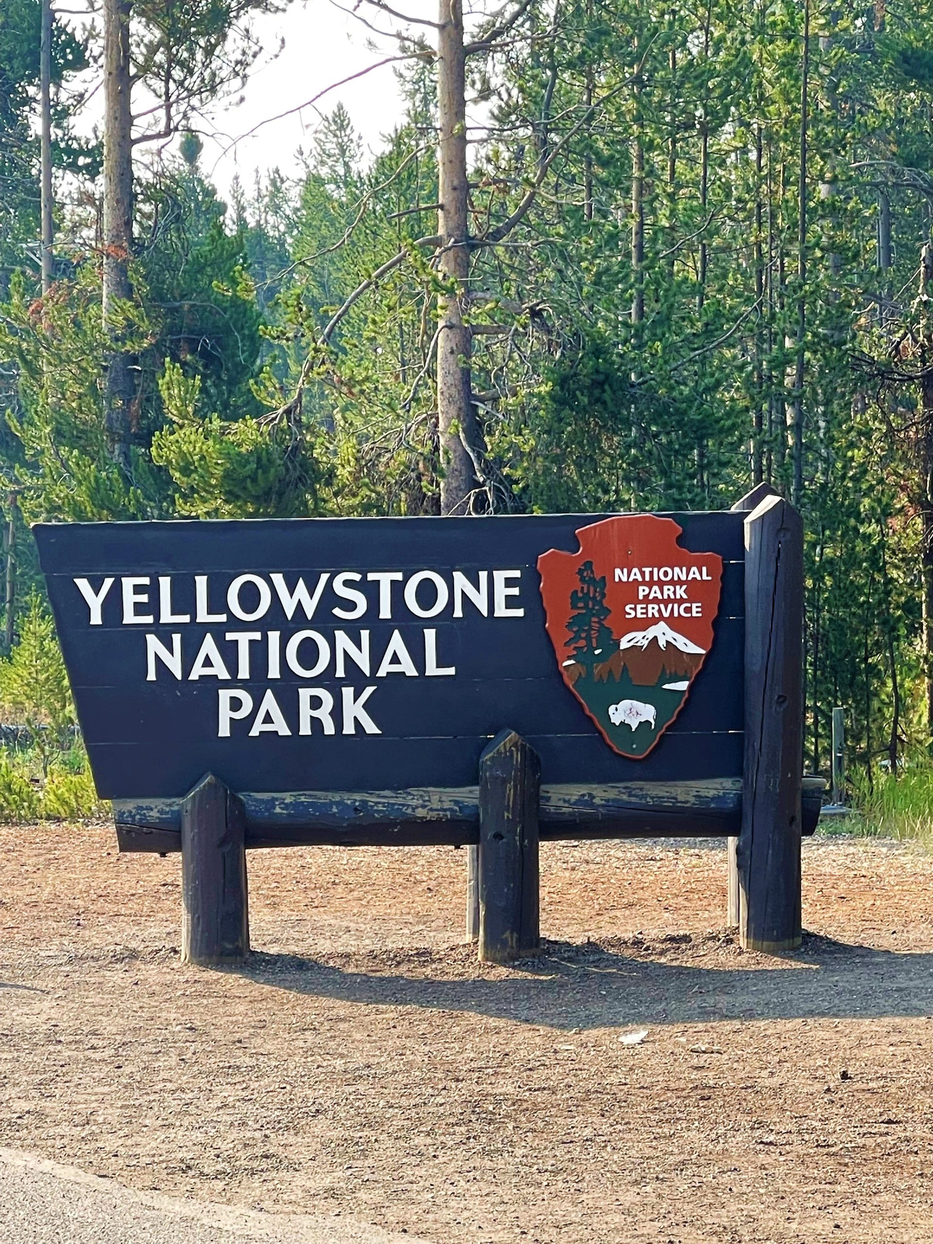
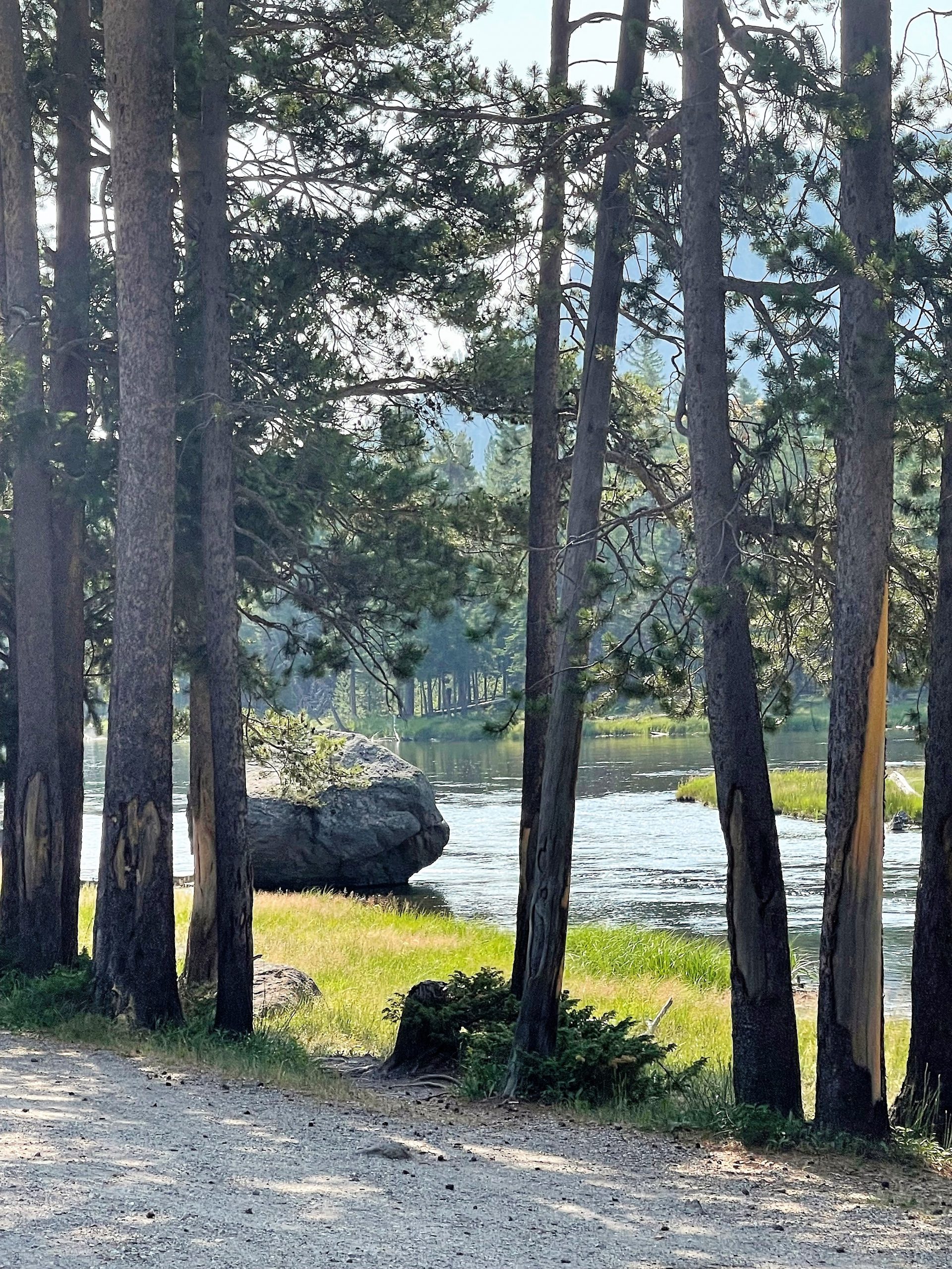
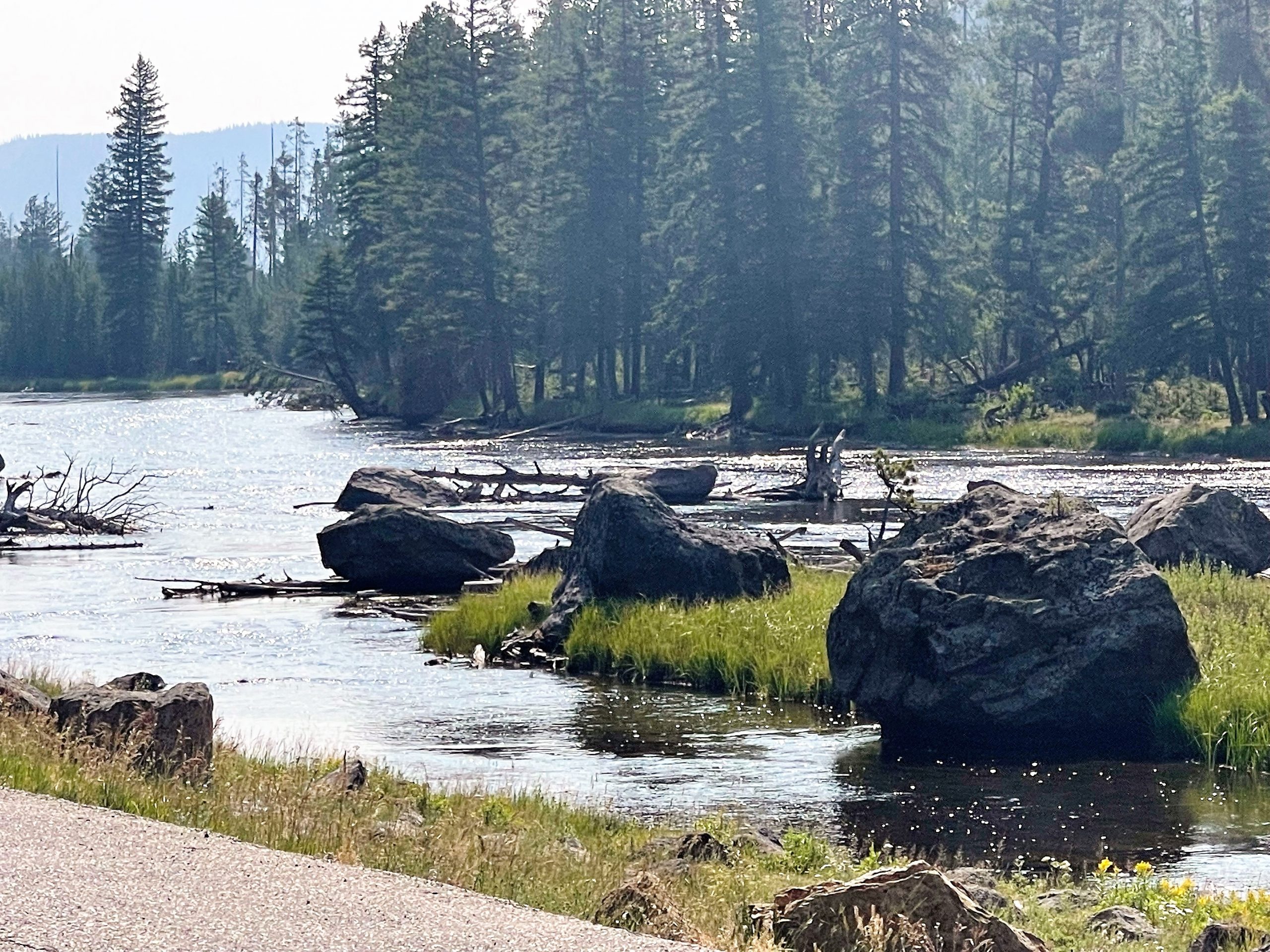
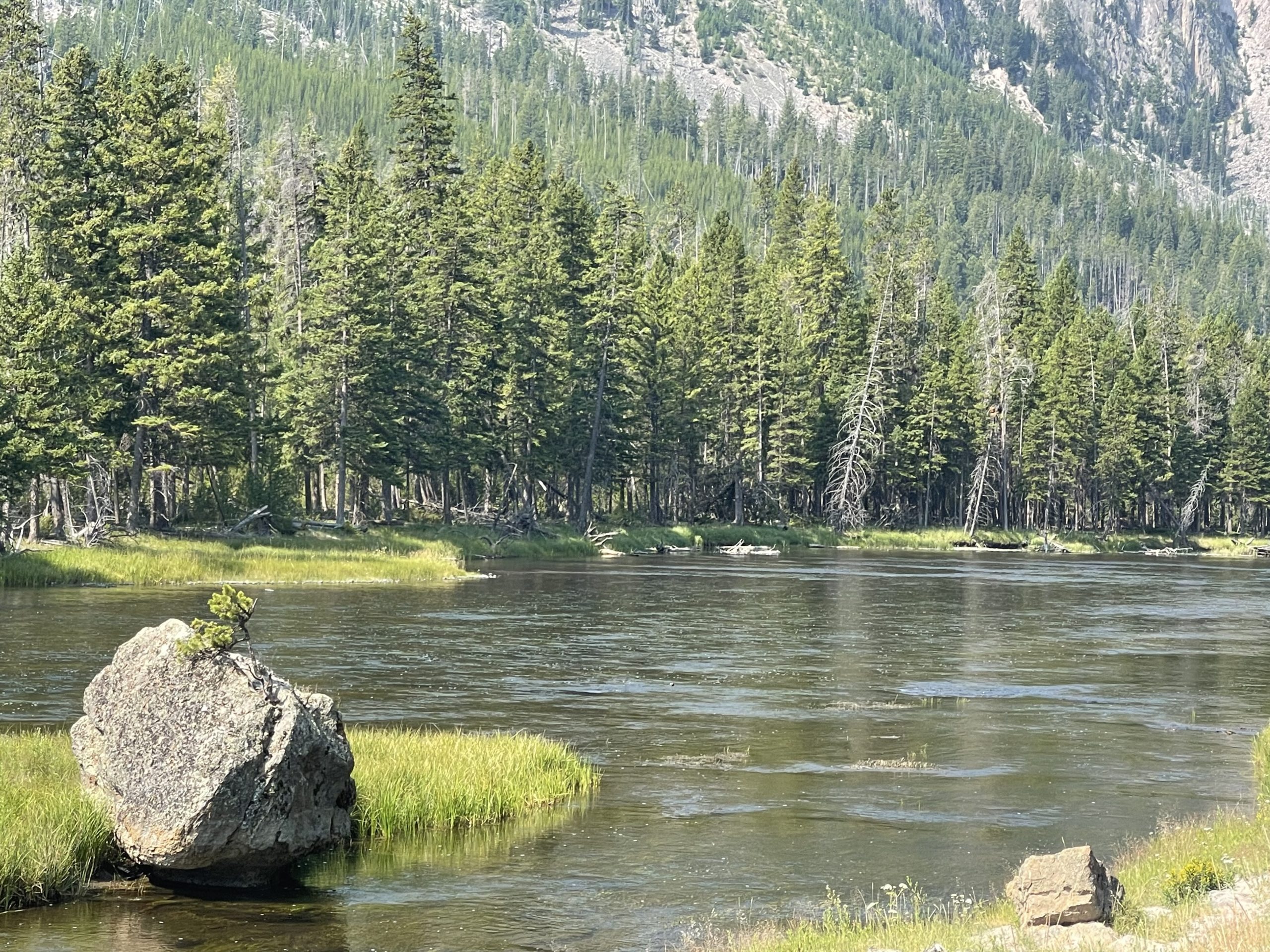
Today, we hook up our travel trailer, leave our campsite of four nights. As we have for the last three days, we again travel three states on U.S. 20, in the short distance from our campground in Idaho, crossing into Montana, and entering Wyoming at the West Entrance of Yellowstone. This morning, as I pass the roadside wildflowers I’ve seen every day, they seem to say goodbye
Ron’s greatest desire was to see the Grand Canyon of Yellowstone. Mine had been to see Grand Prismatic Spring. Both of our highest priorities had been met in those first two days in Yellowstone, and in doing so, we had seen and learned more than we had possibly expected.
As soon as we entered this magnificent park, we knew it would be impossible to cover all the areas we desired – spend all the time we wanted. We had to choose. Now, on this third day, we had to choose between going through the south entrance to The Grand Tetons or to the northernmost side of Yellowstone to Lamar Valley. We chose Lamar Valley.
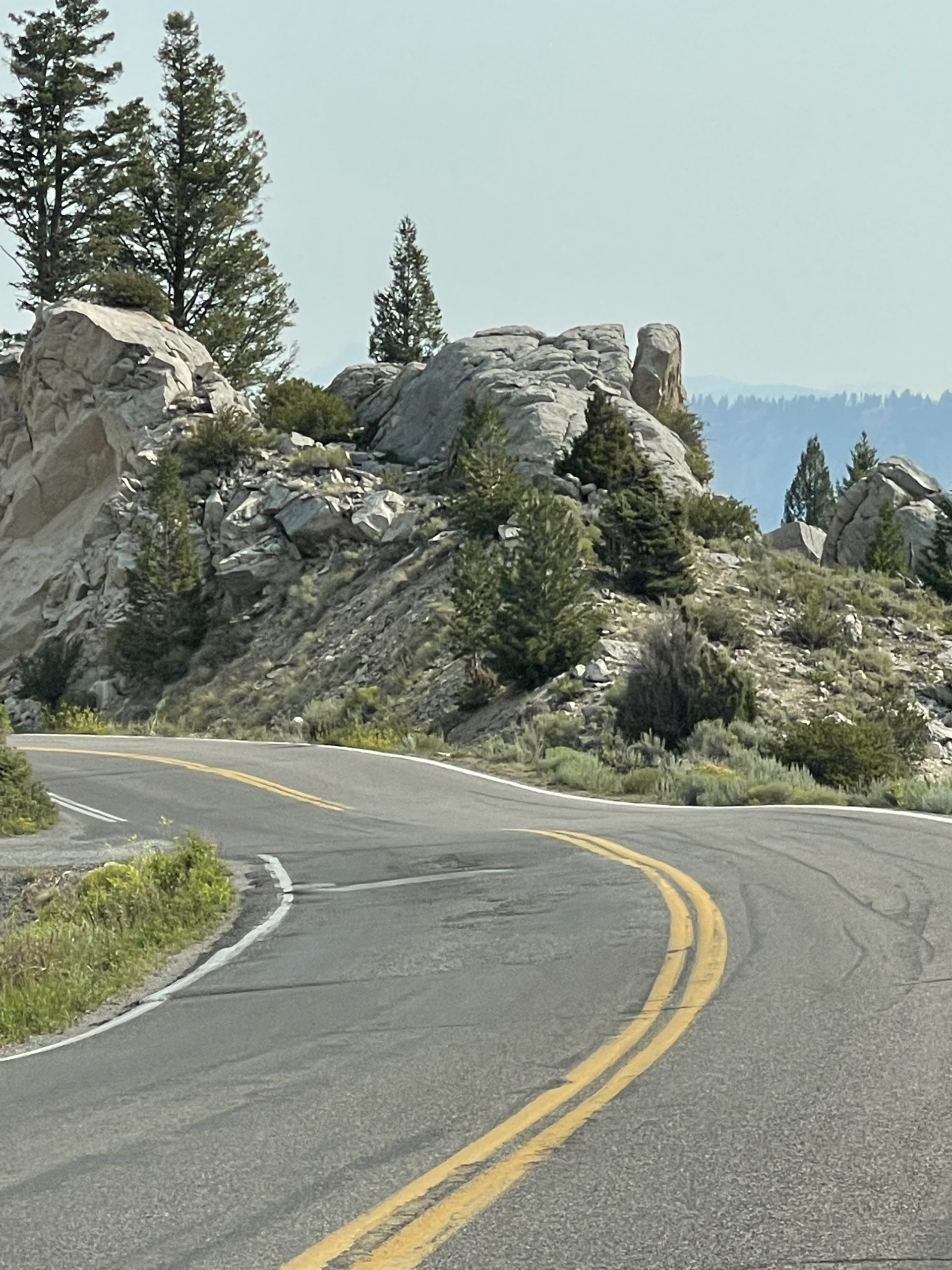
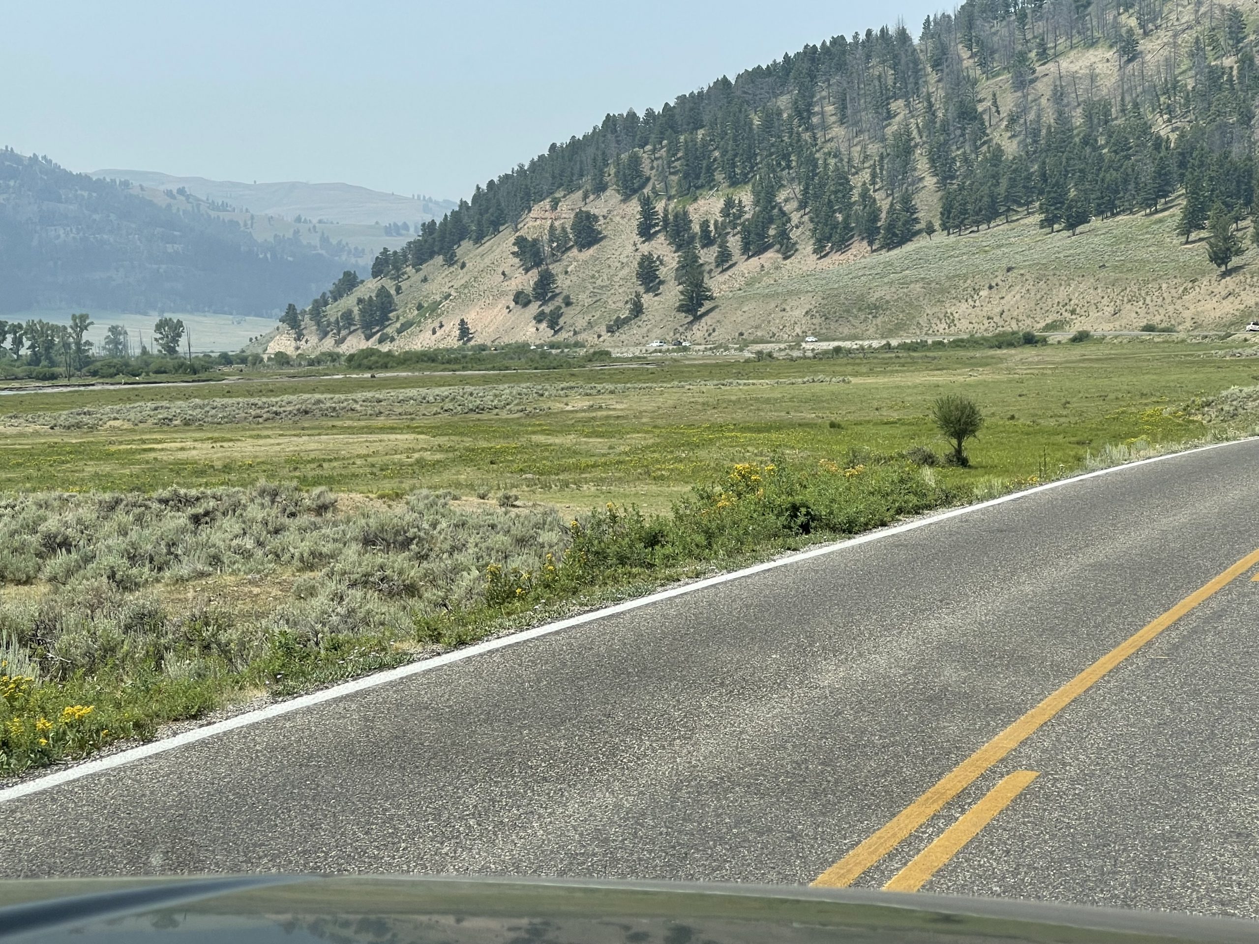
It was a long drive – nearly 100 miles – and not typical driving at that! You can see our route in gold on the map, and photos taken along the drive follow, as well.
(Did you know you can click on each pic to enlarge it?)
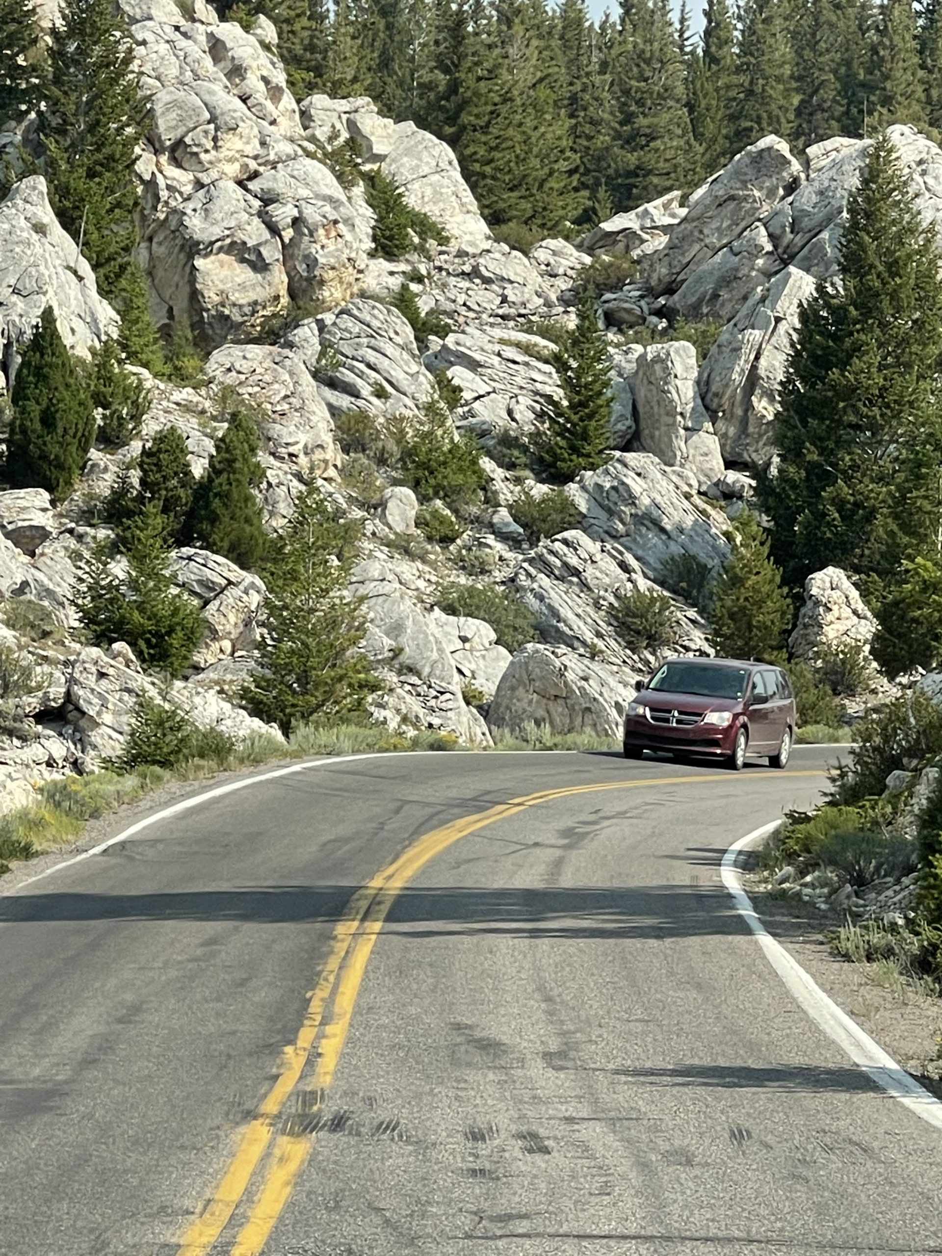
The roads differed from those we’d traveled in the middle of the park, in that they were sometimes tight and curved with short stretches in mountainous areas. We were glad we weren’t pulling the travel trailer.
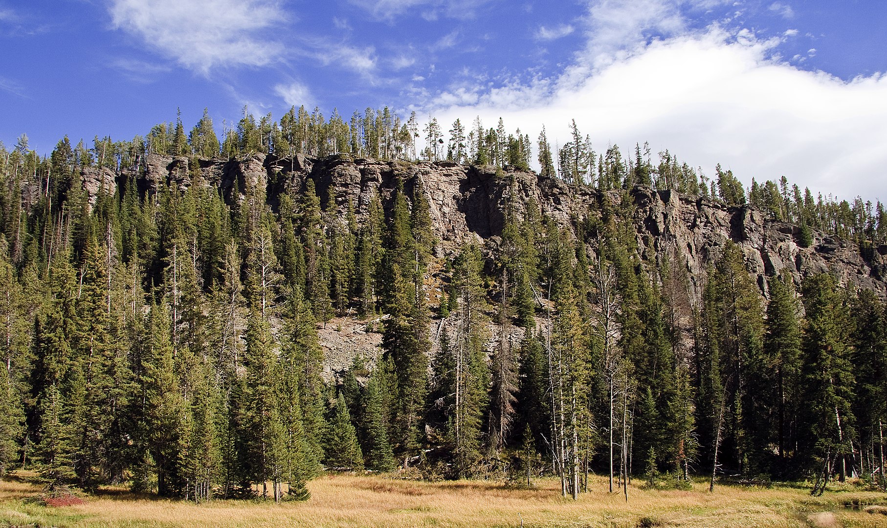
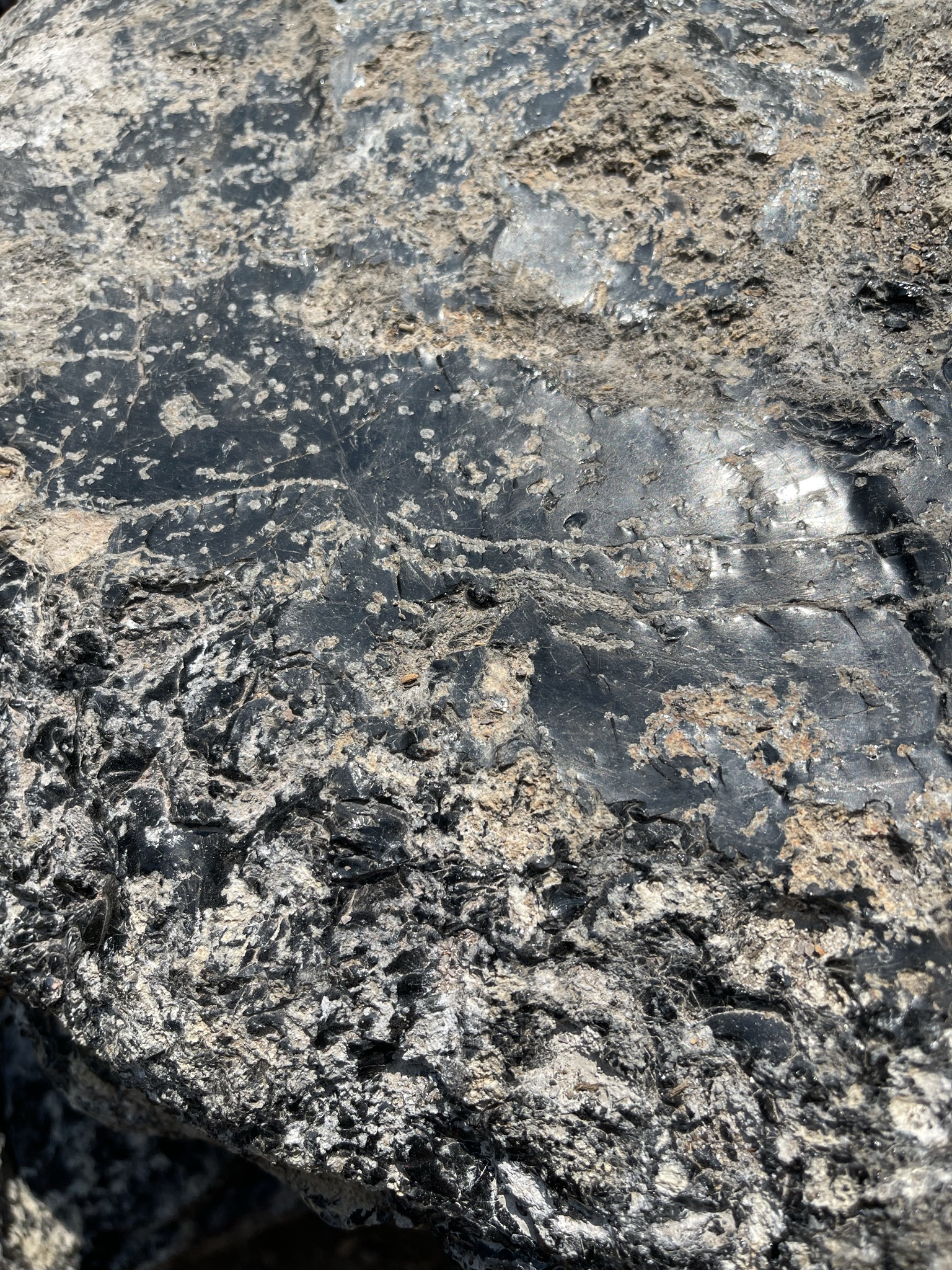
We saw Obsidian Cliff and stopped at a kiosk where we observed some obsidian close up. I picked up a few flakes from the ground where people had chipped the beautiful dark volcanic glass, although they had been asked not to. Original peoples had used this rock many years ago for tools and weapons.
By Acroterion – Own work, CC BY-SA 3.0, https://commons.wikimedia.org/w/index.php?curid=12213799
And we were amazed at an entire mountainside covered in steam vents: Roaring Mountain
A short walk along The Artists Paintpots was like walking along a painter’s palette:
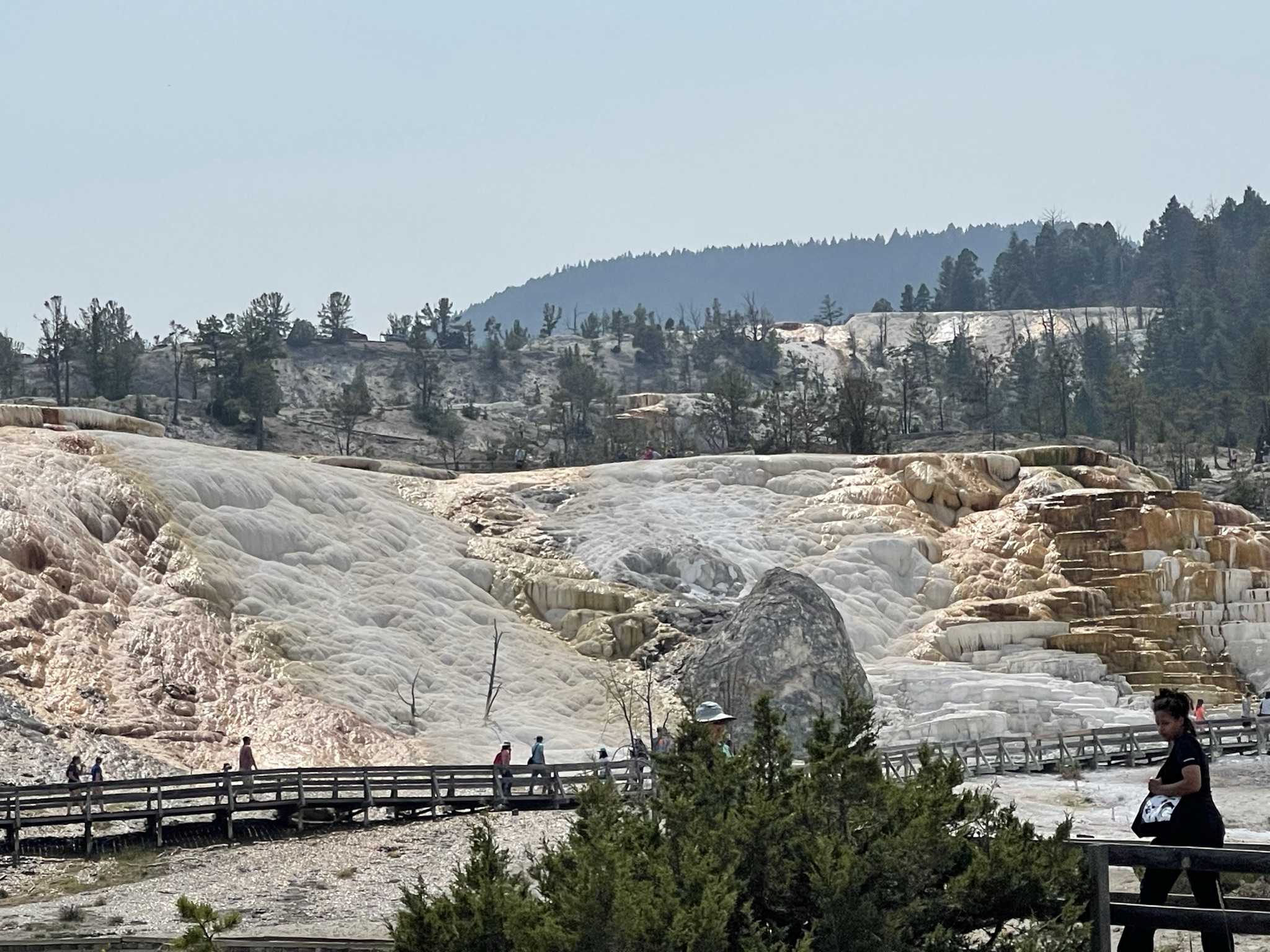
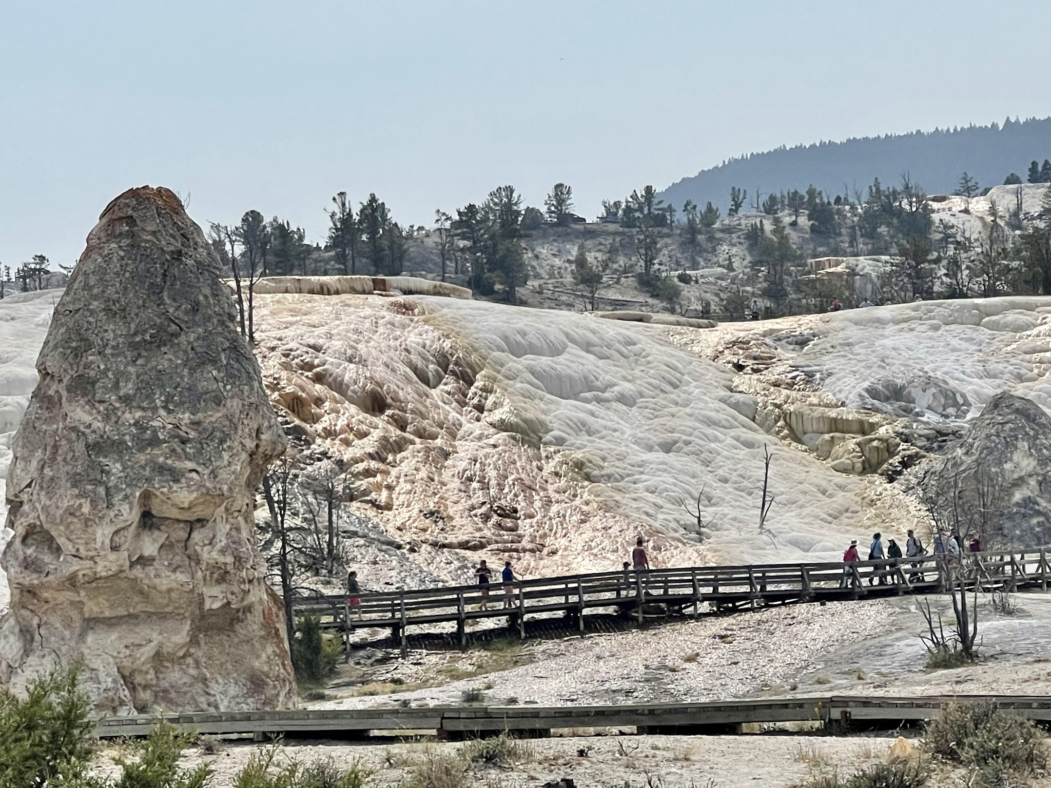
Certainly this drive had already brought many delights, but reaching the main junction of Mammoth Hot Springs brought us something we hadn’t yet seen anywhere: Travertine Terraces of steaming hydrothermal features, always changing. They were beautiful:
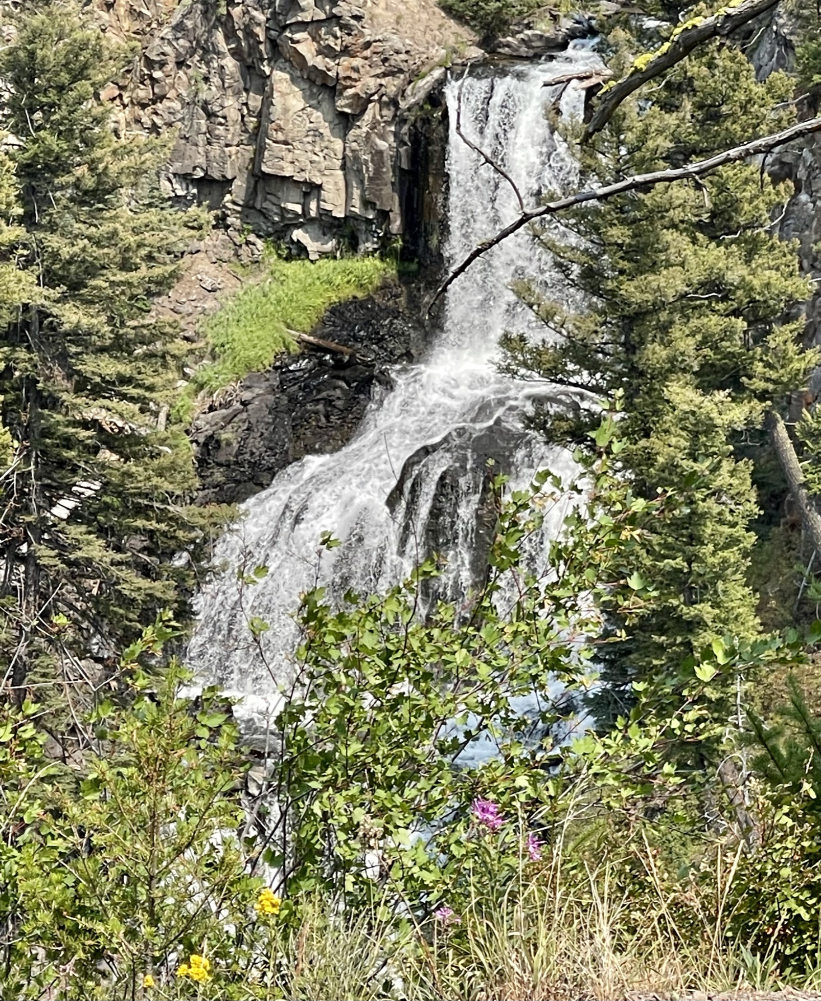
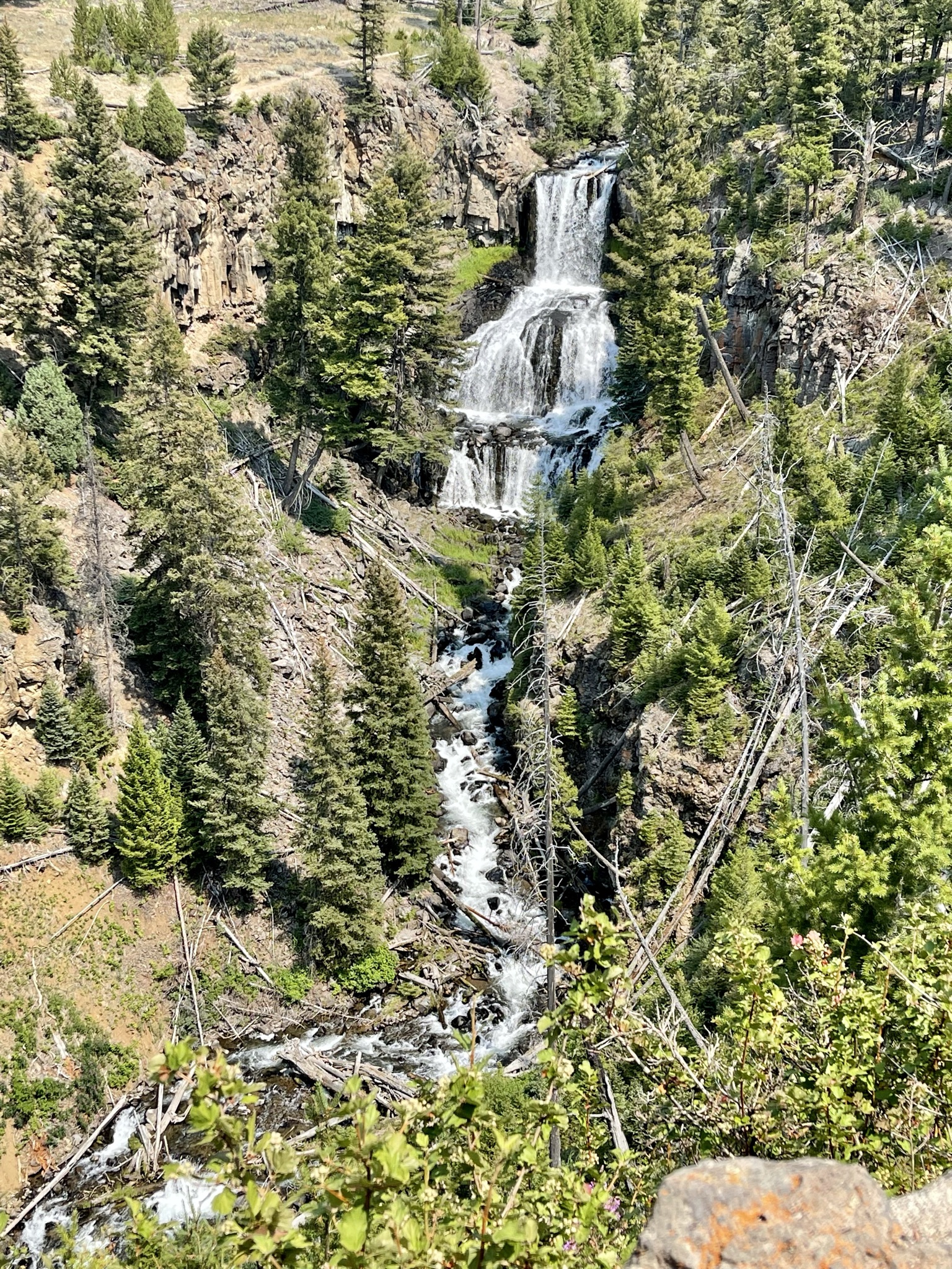
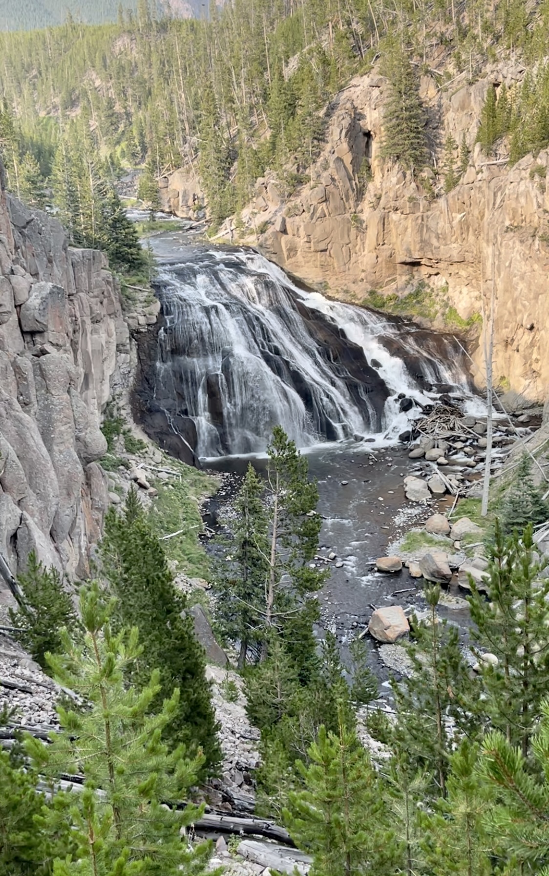
Continuing east, we saw the beautiful Undine Falls, a three-step waterfall, which had once been on the cover of National Geographic.
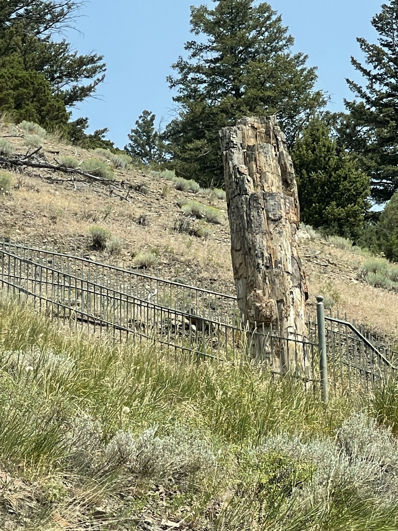
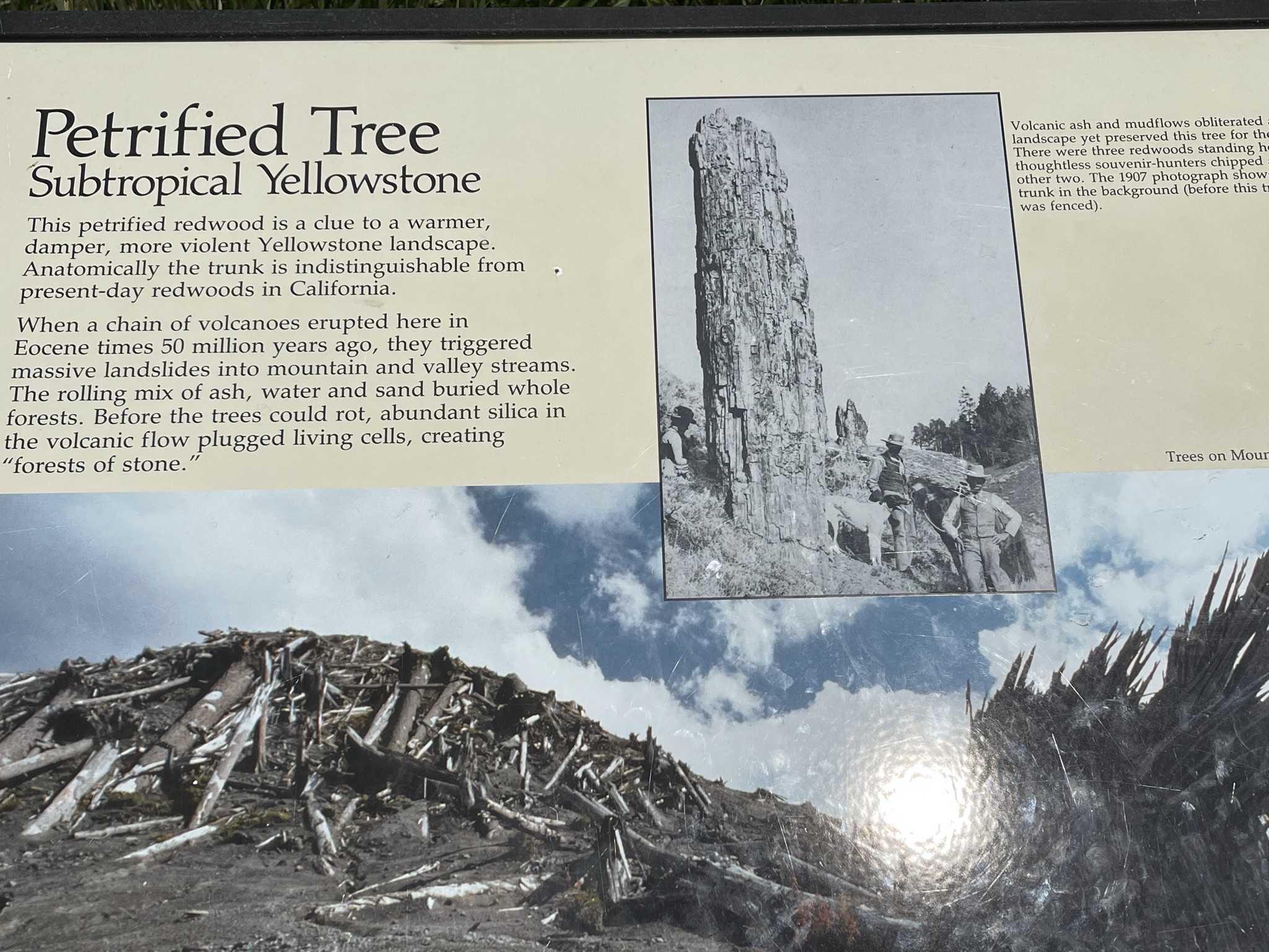
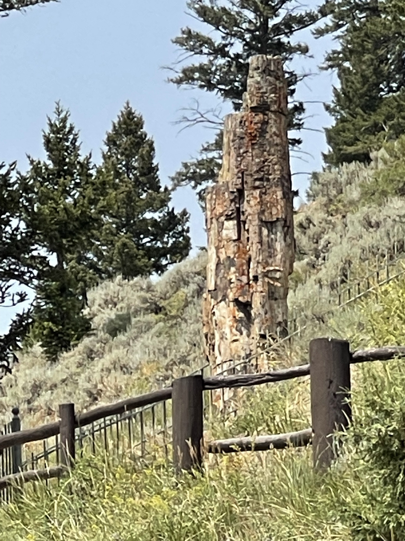
A petrified tree fascinated us, as well:
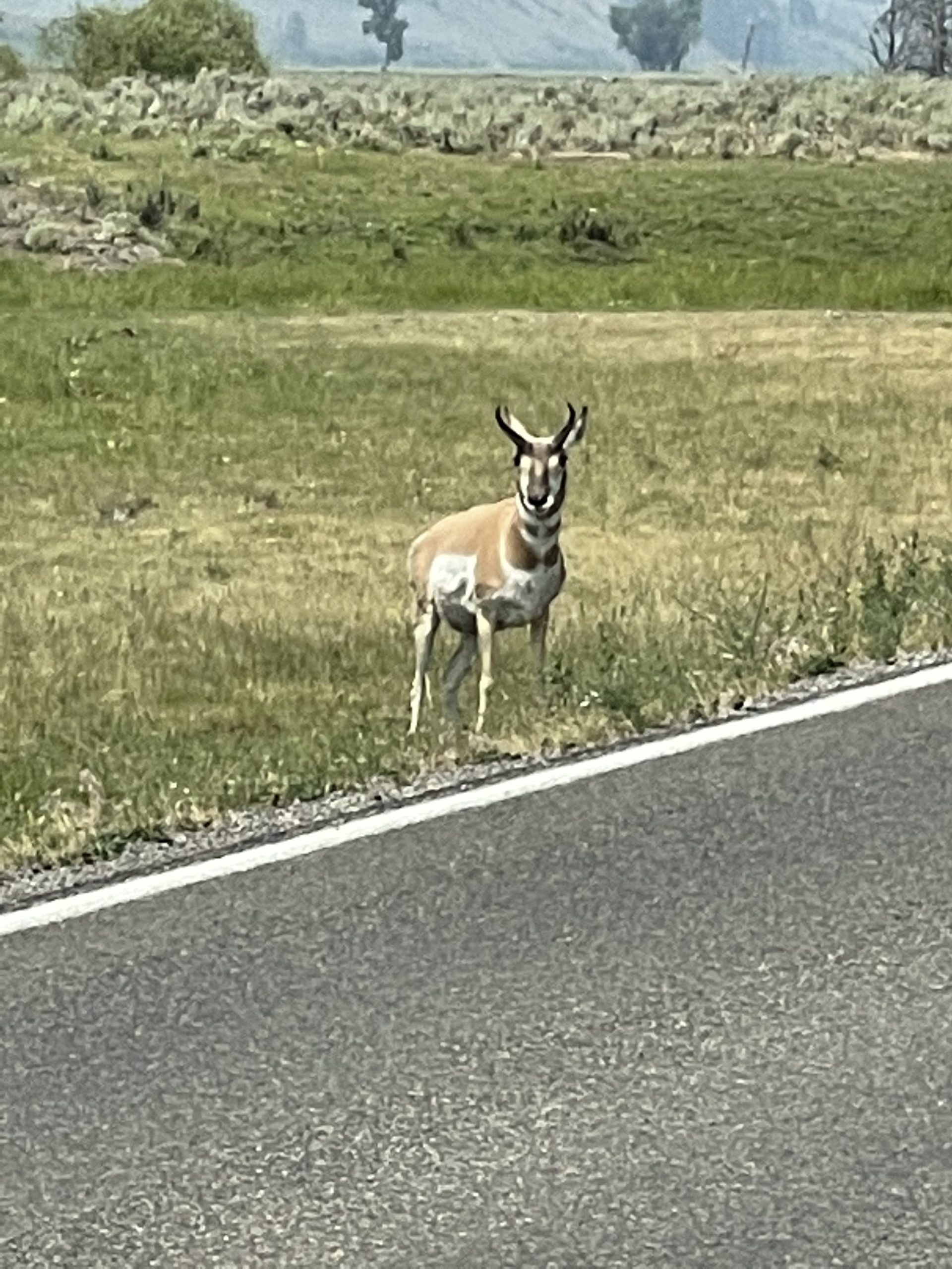
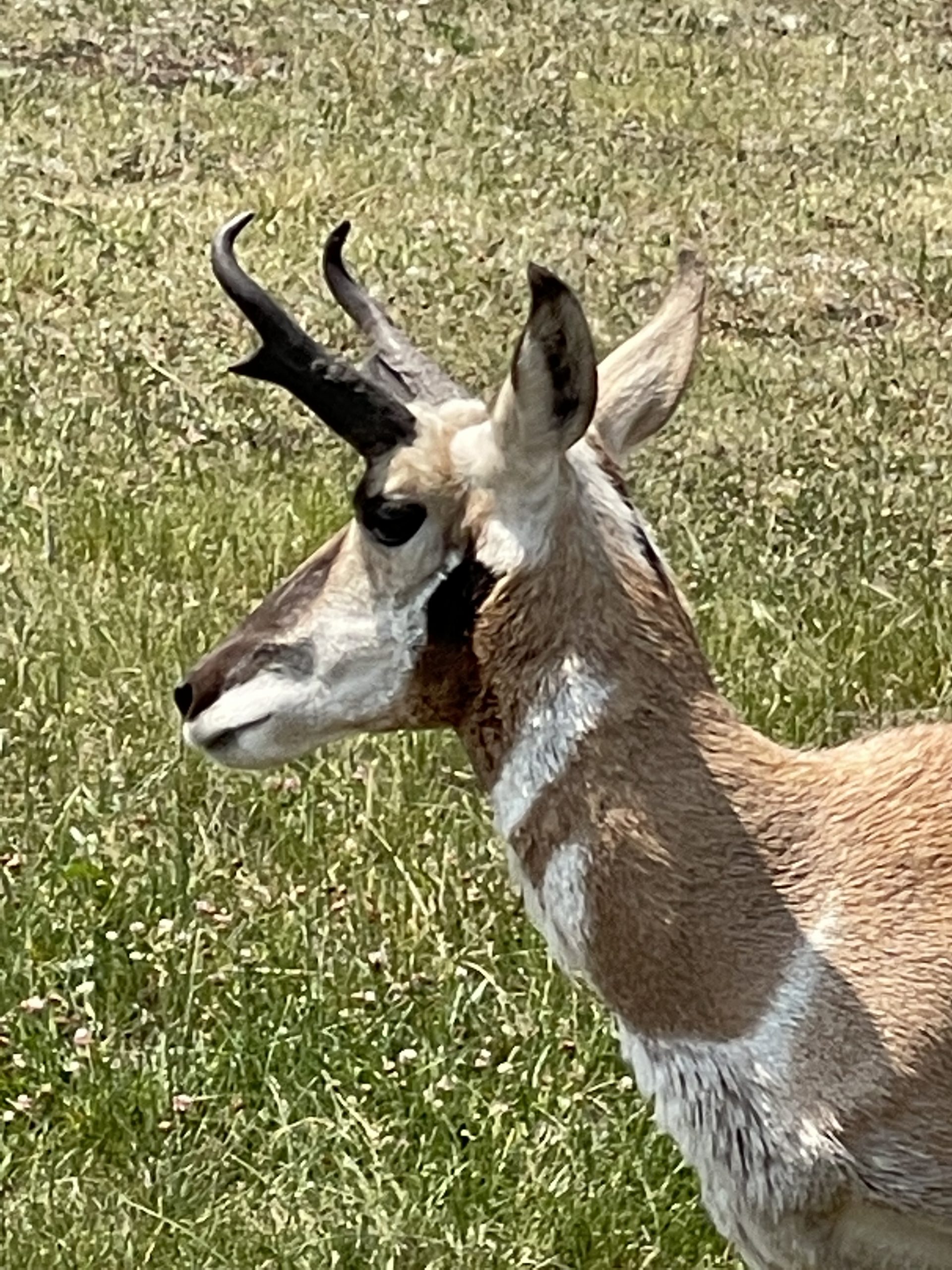
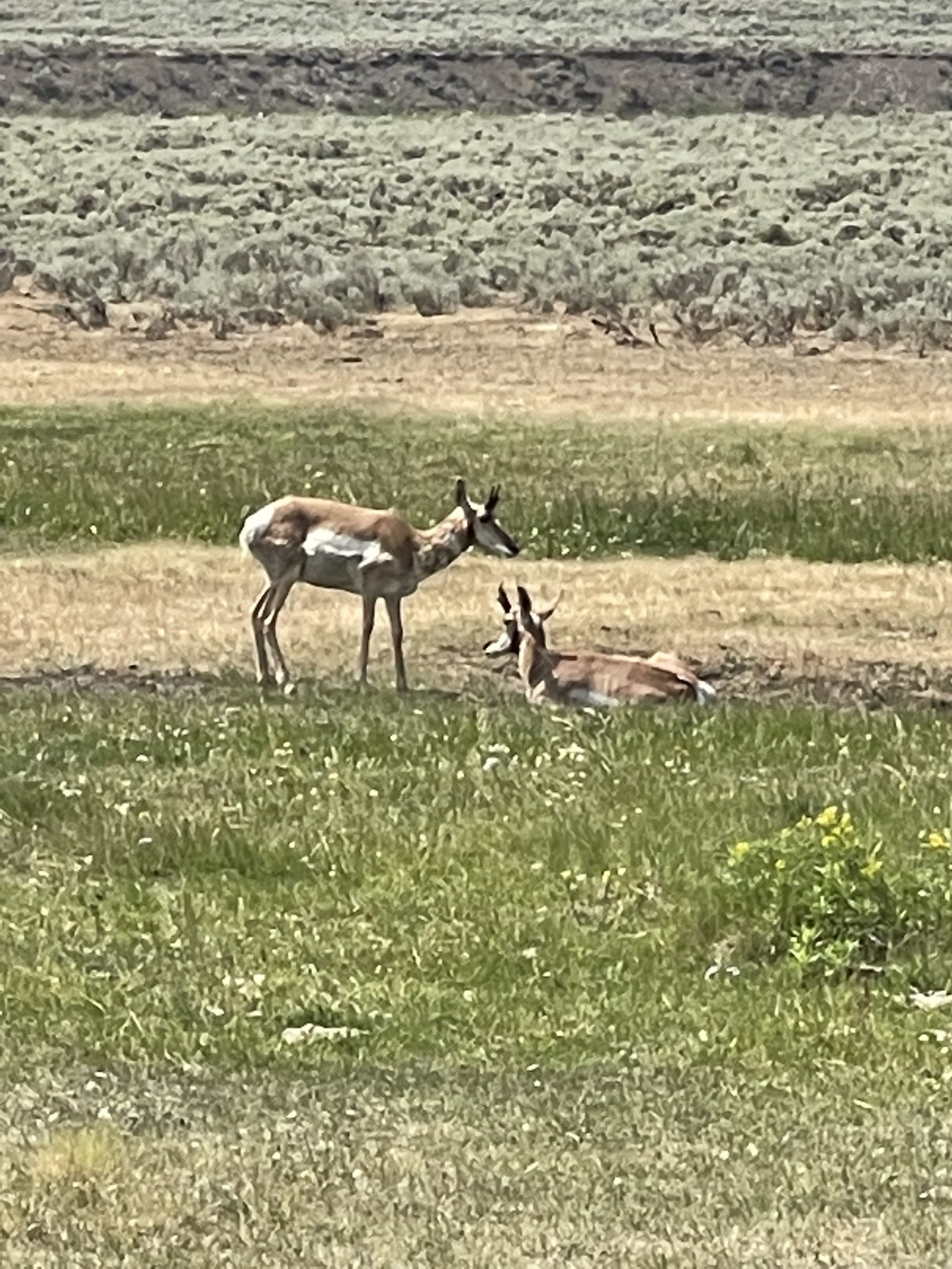
And antelope (pronghorn)
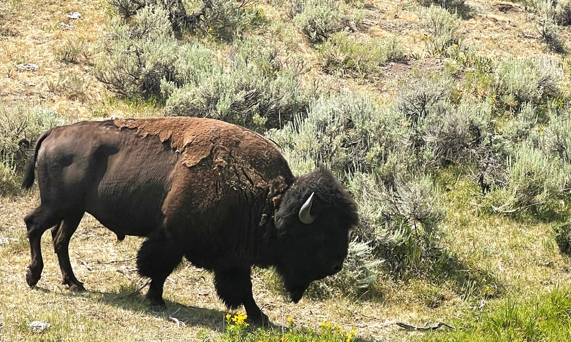
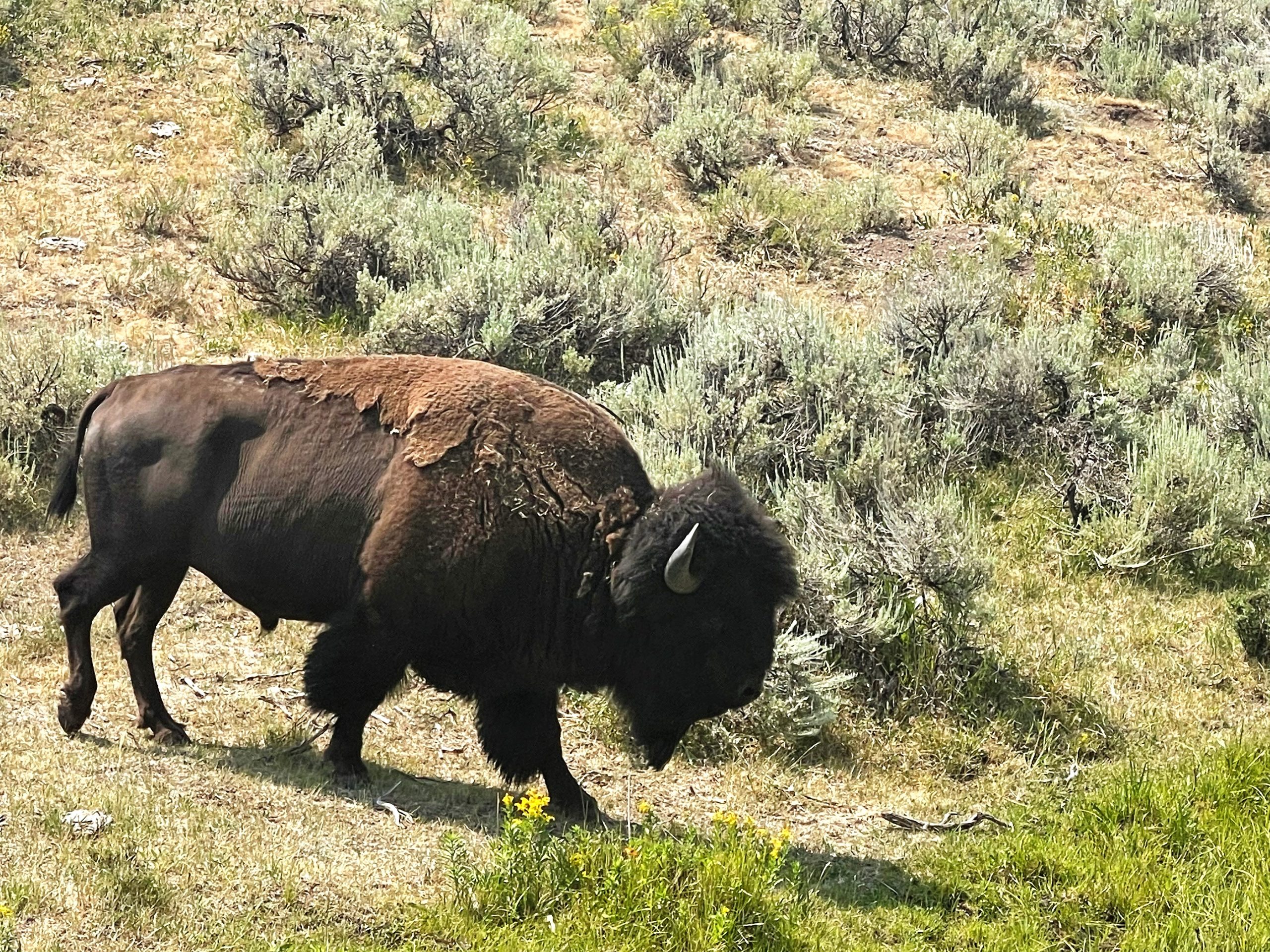
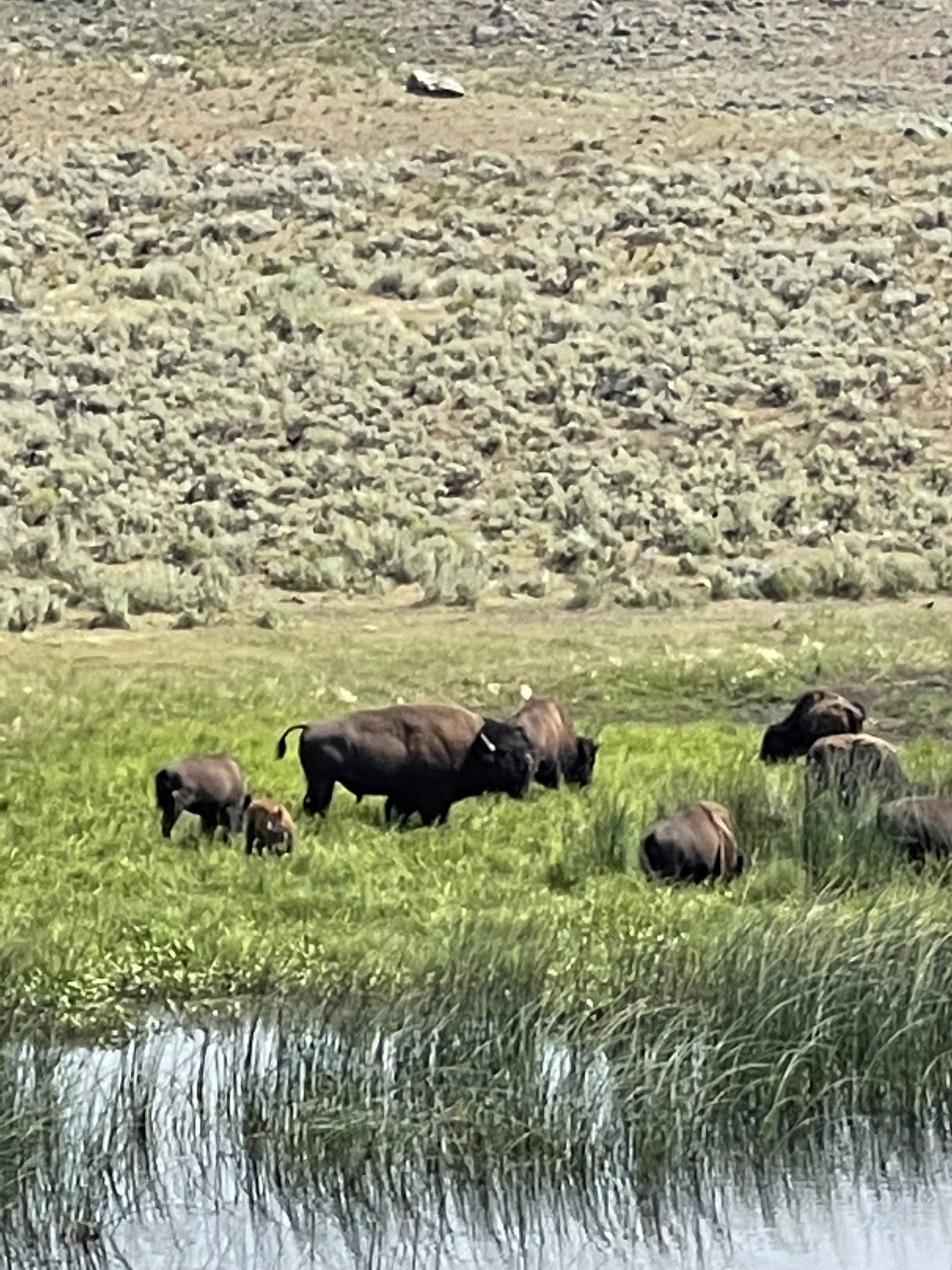
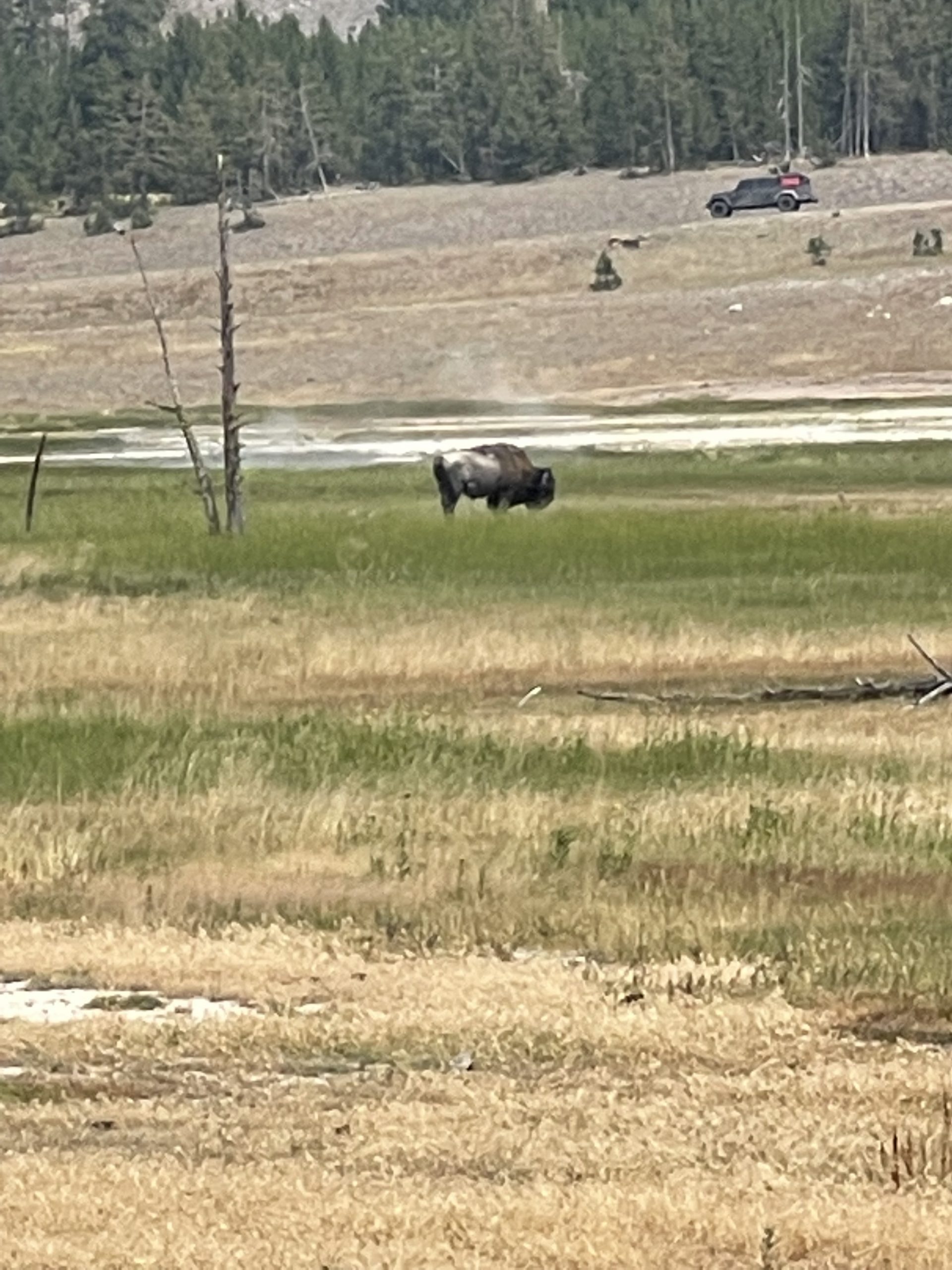
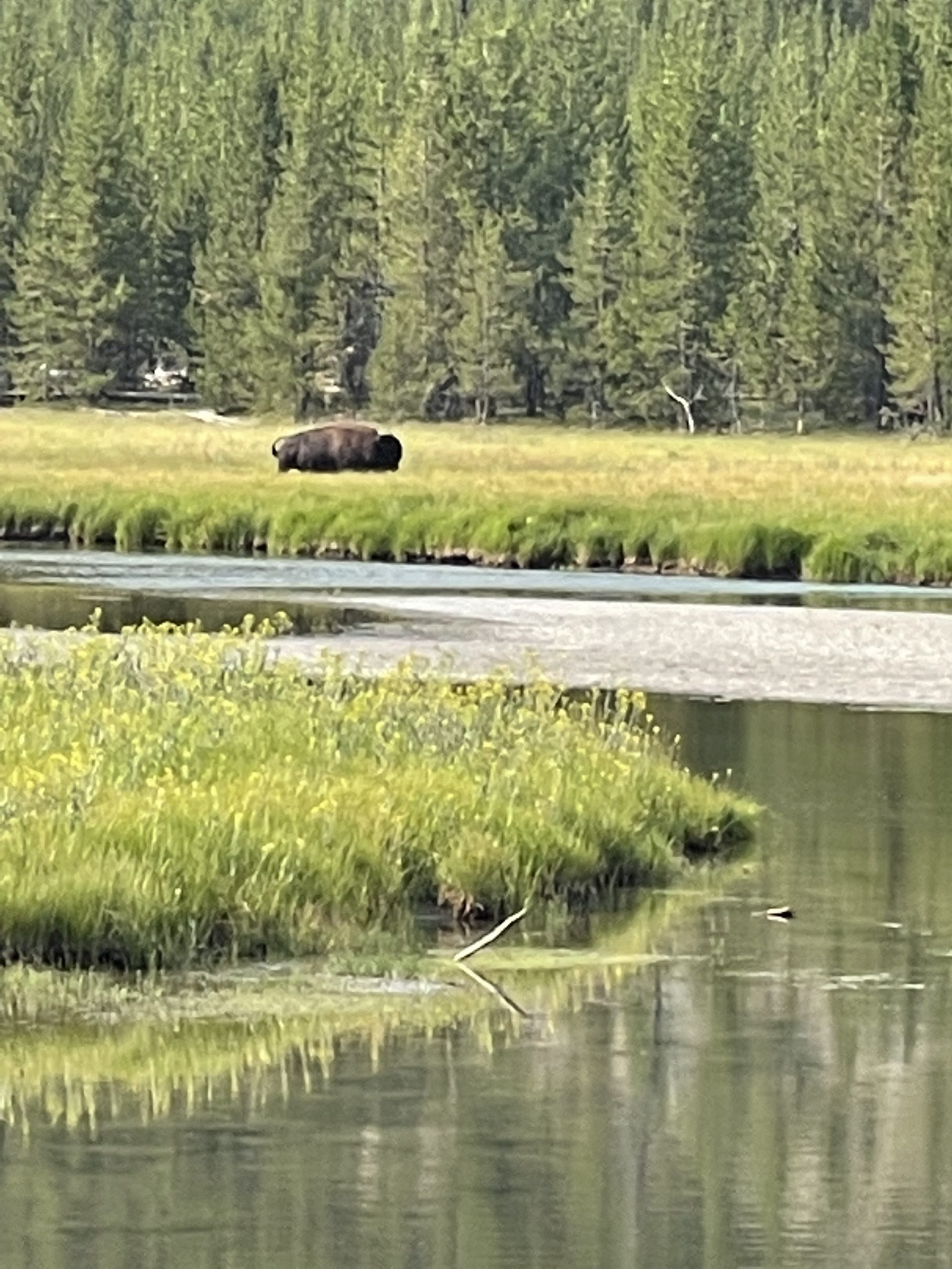
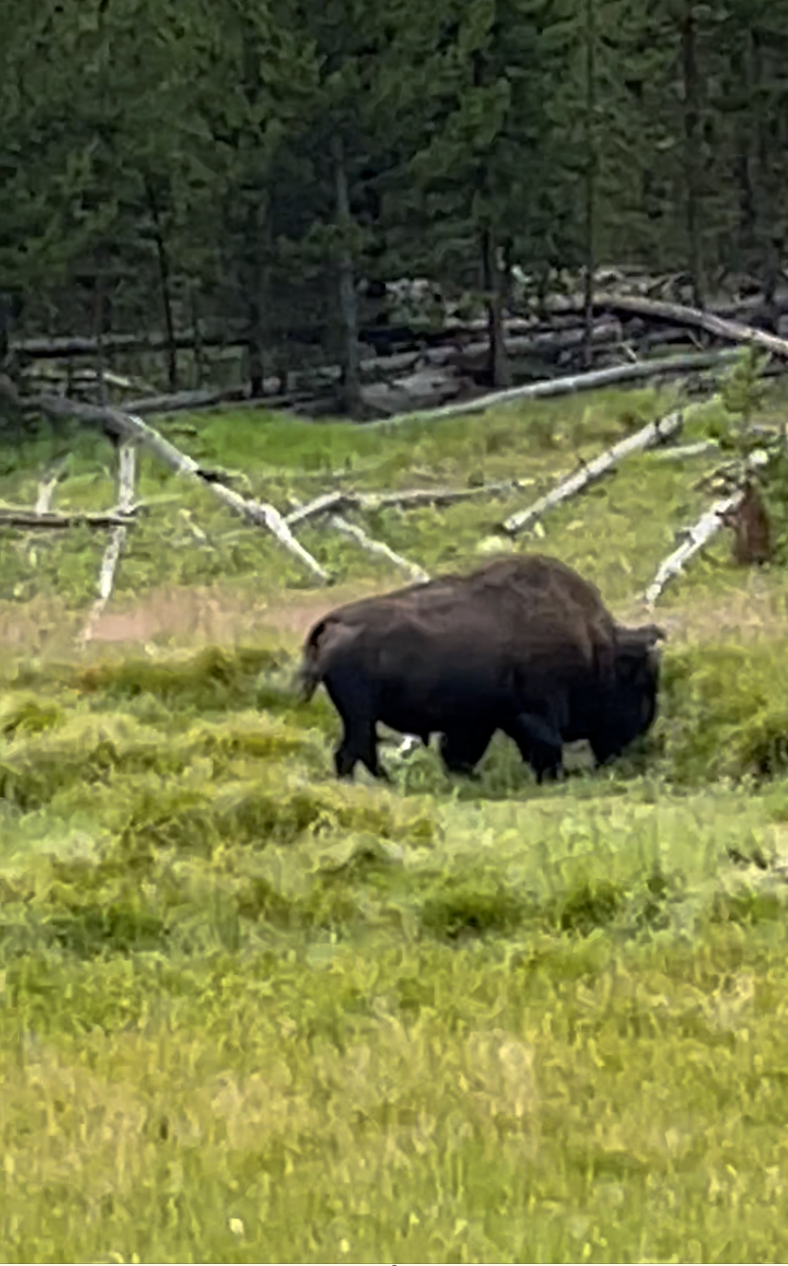
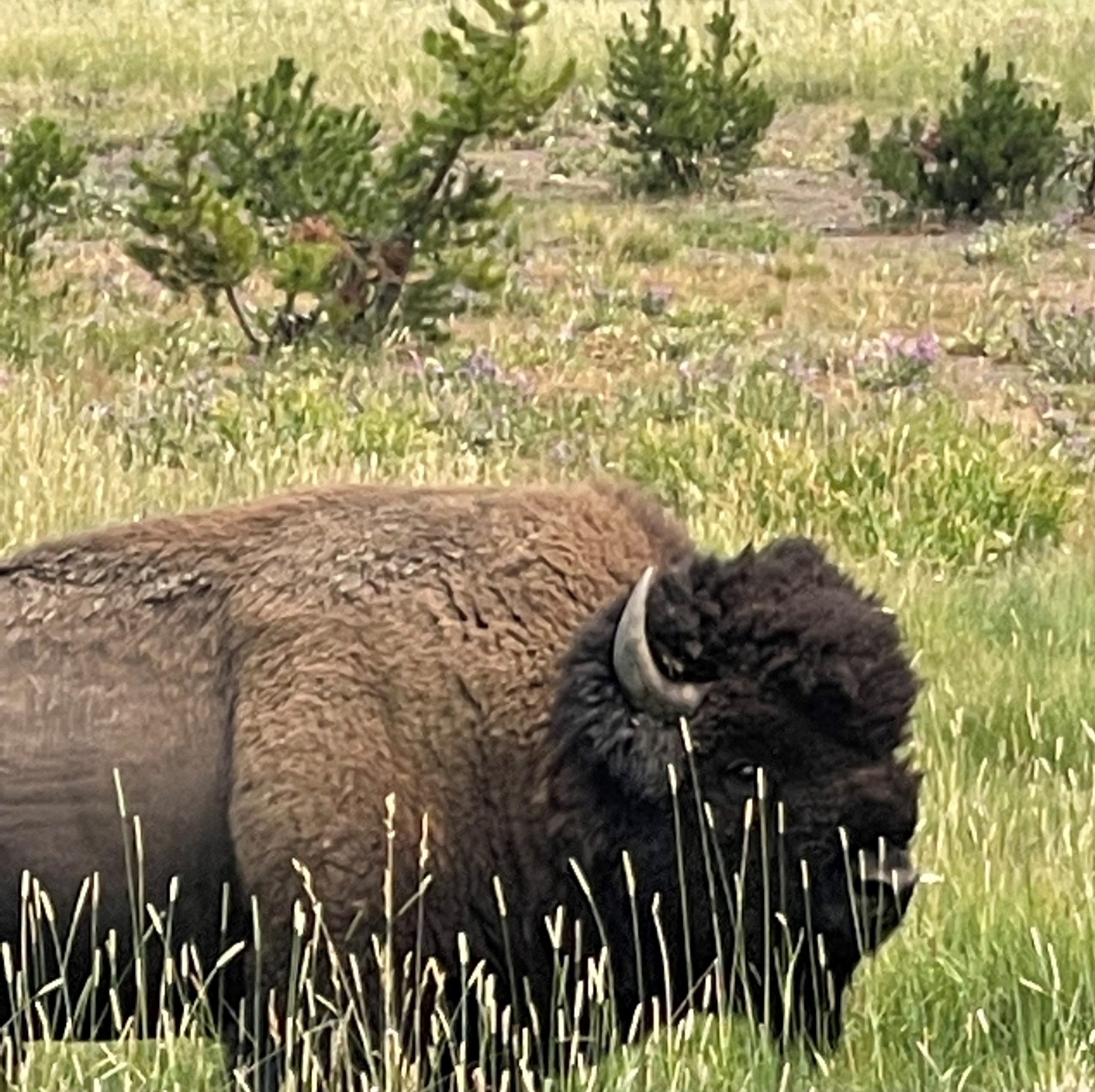
Although we saw buffalo here and there on this eastbound route along the north edge of the park, we began seeing them in herds. (Yes, my friend, my reader, I do realize that these beautiful creatures are called “bison” in Yellowstone, and I do respect that, but after a lifetime of referring to them as “buffalo,” I can’t help but use that name in my writing!)
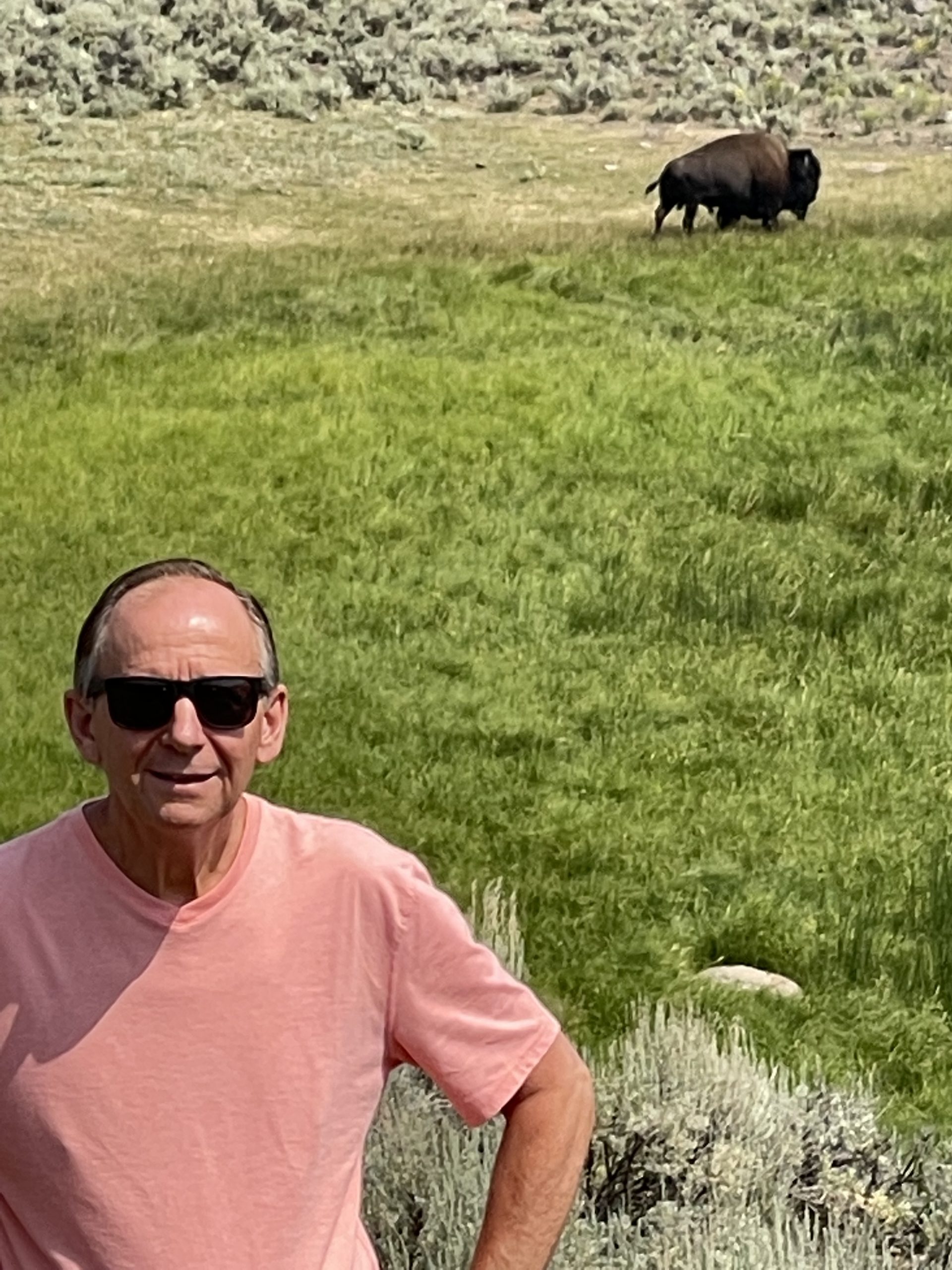
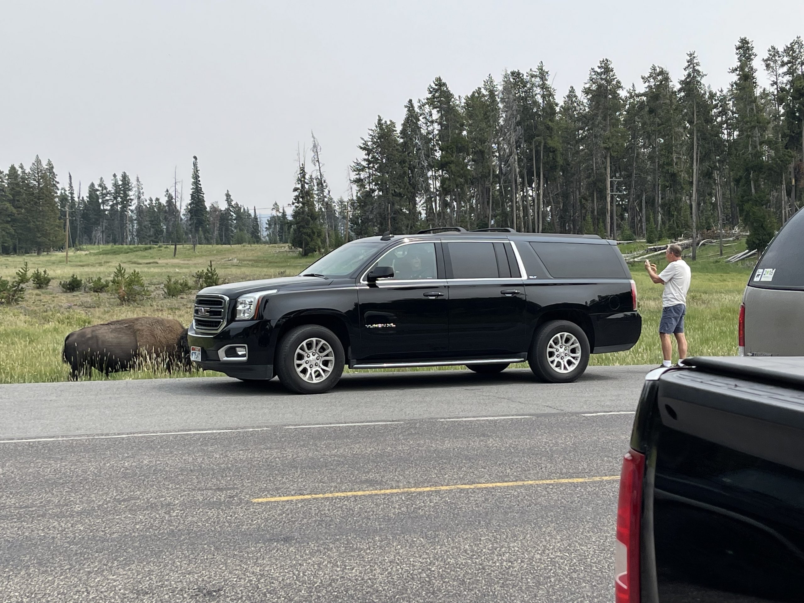
Although it might look closer. Ron is at least the 25 yards from the buffalo, as required.
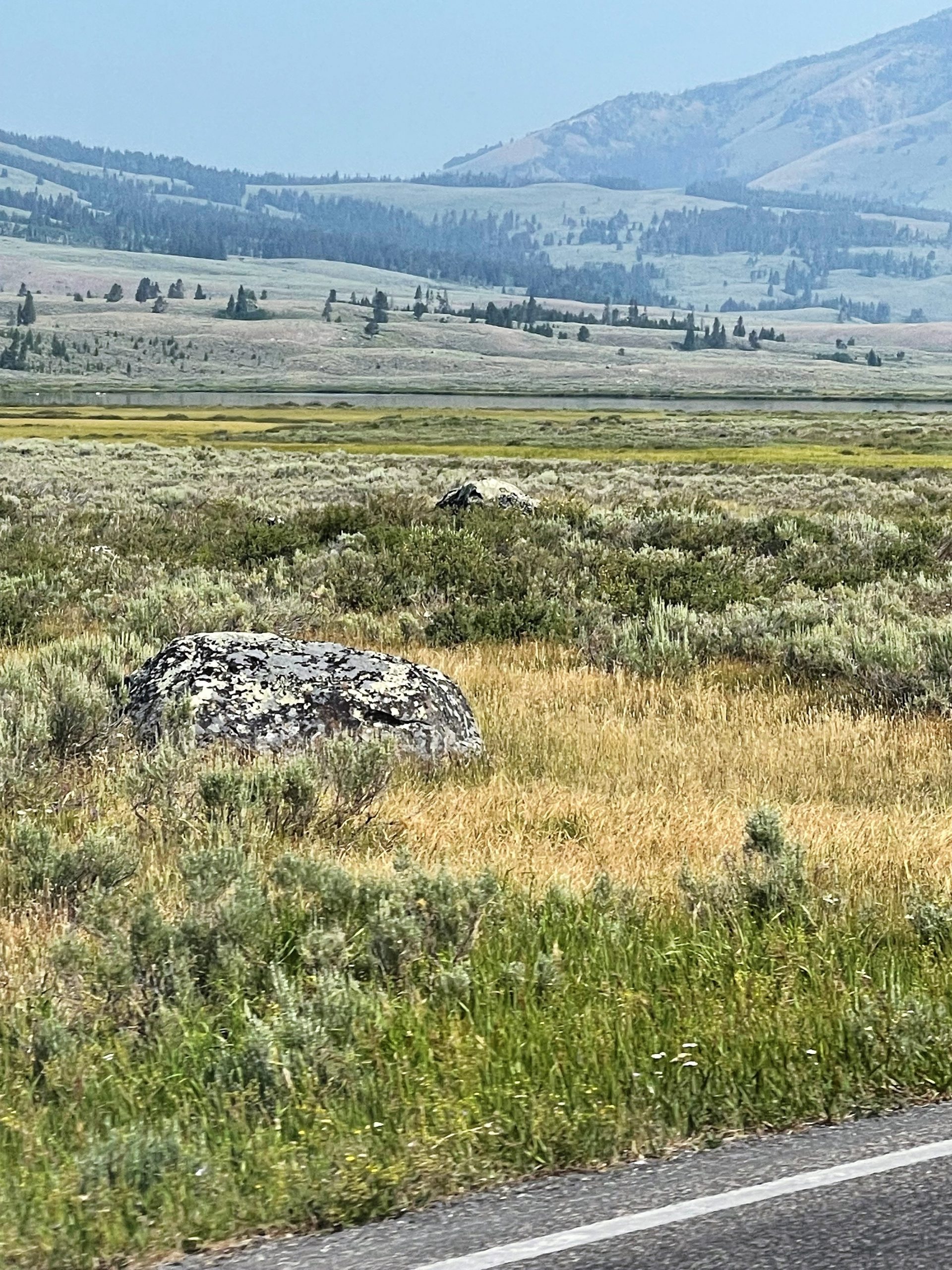
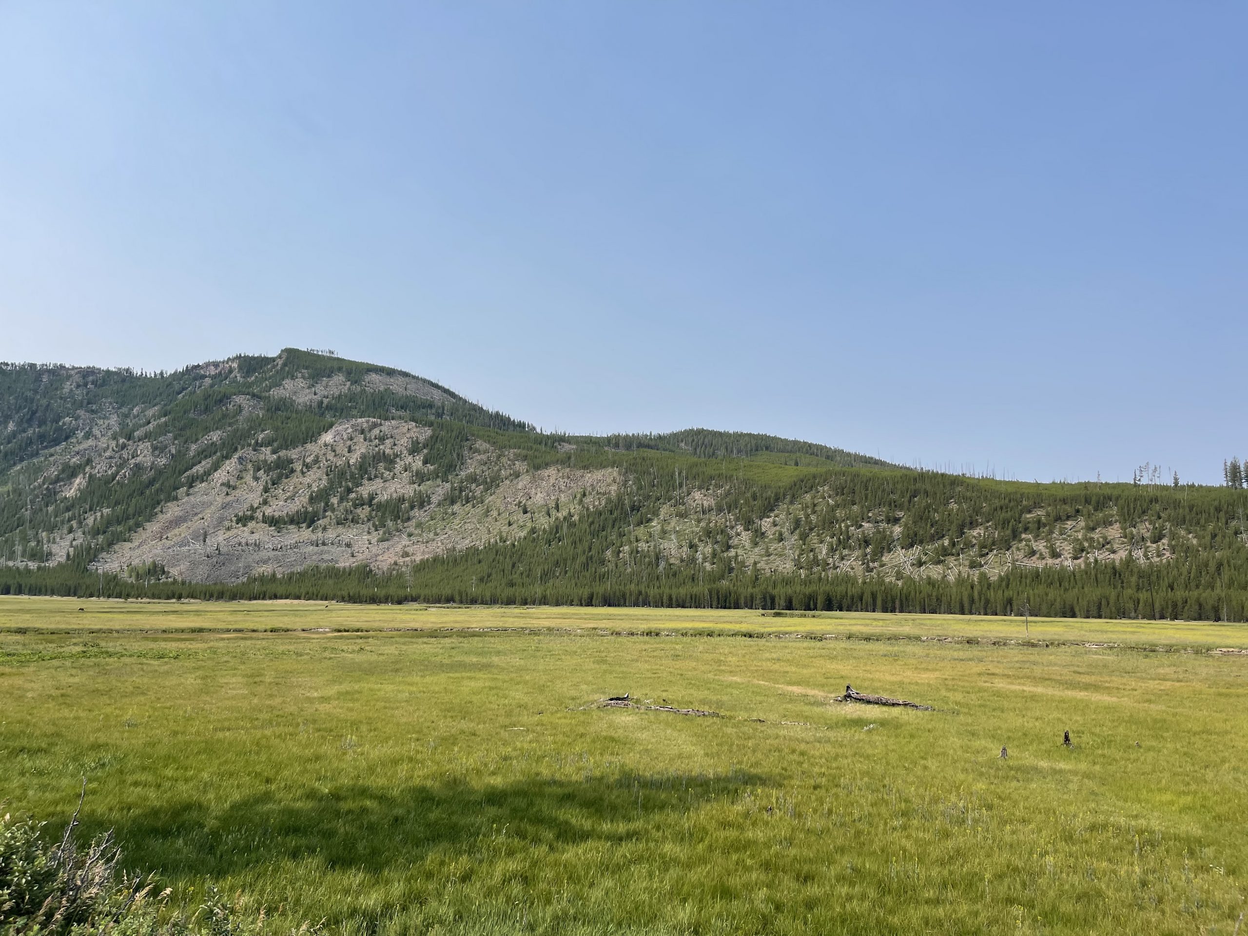
Soon we entered a massive open area, a valley larger than Hayden – a valley larger than any we had ever seen. We parked along the road to take it all in. As far as we could see – left to right – east to west – were buffalo – thousands of buffalo:
And as we drove further east, this scene continued for miles.
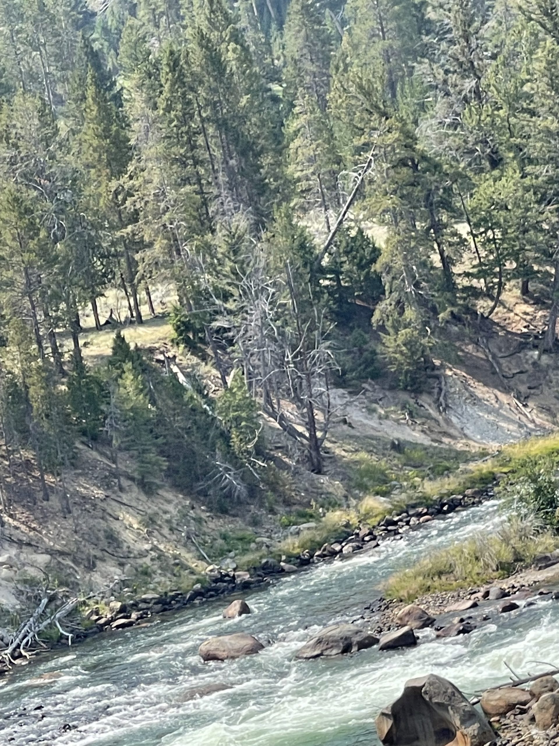
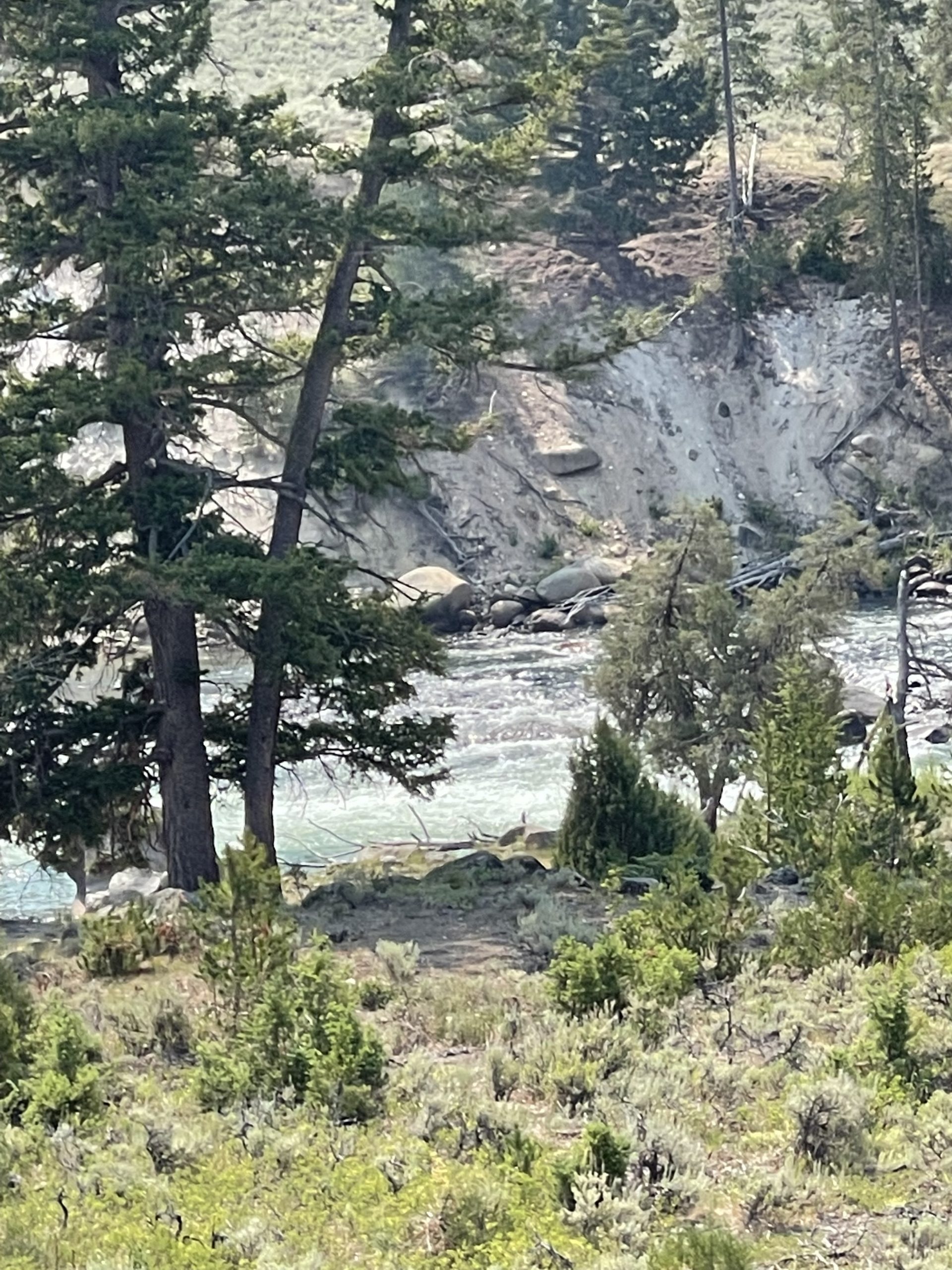
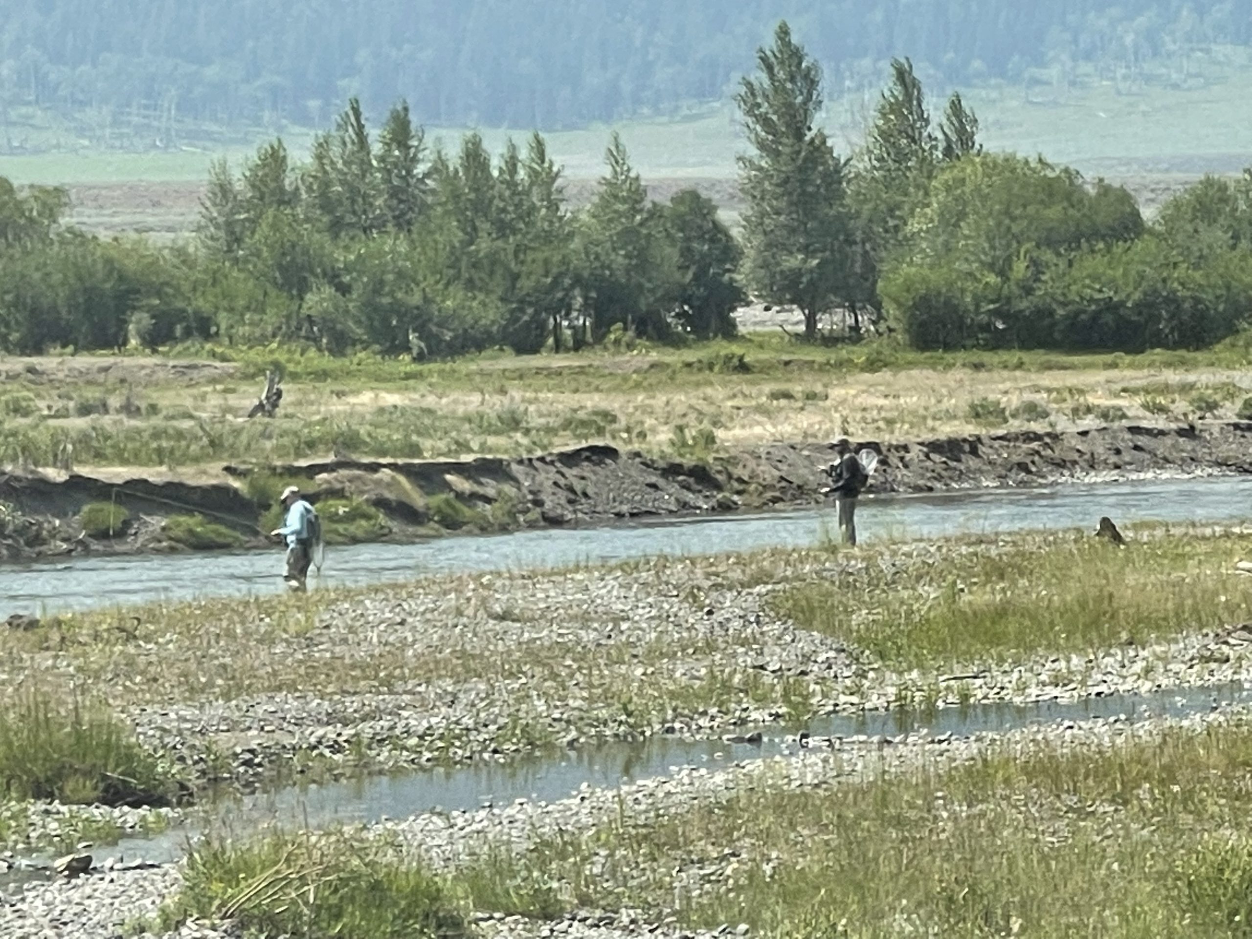
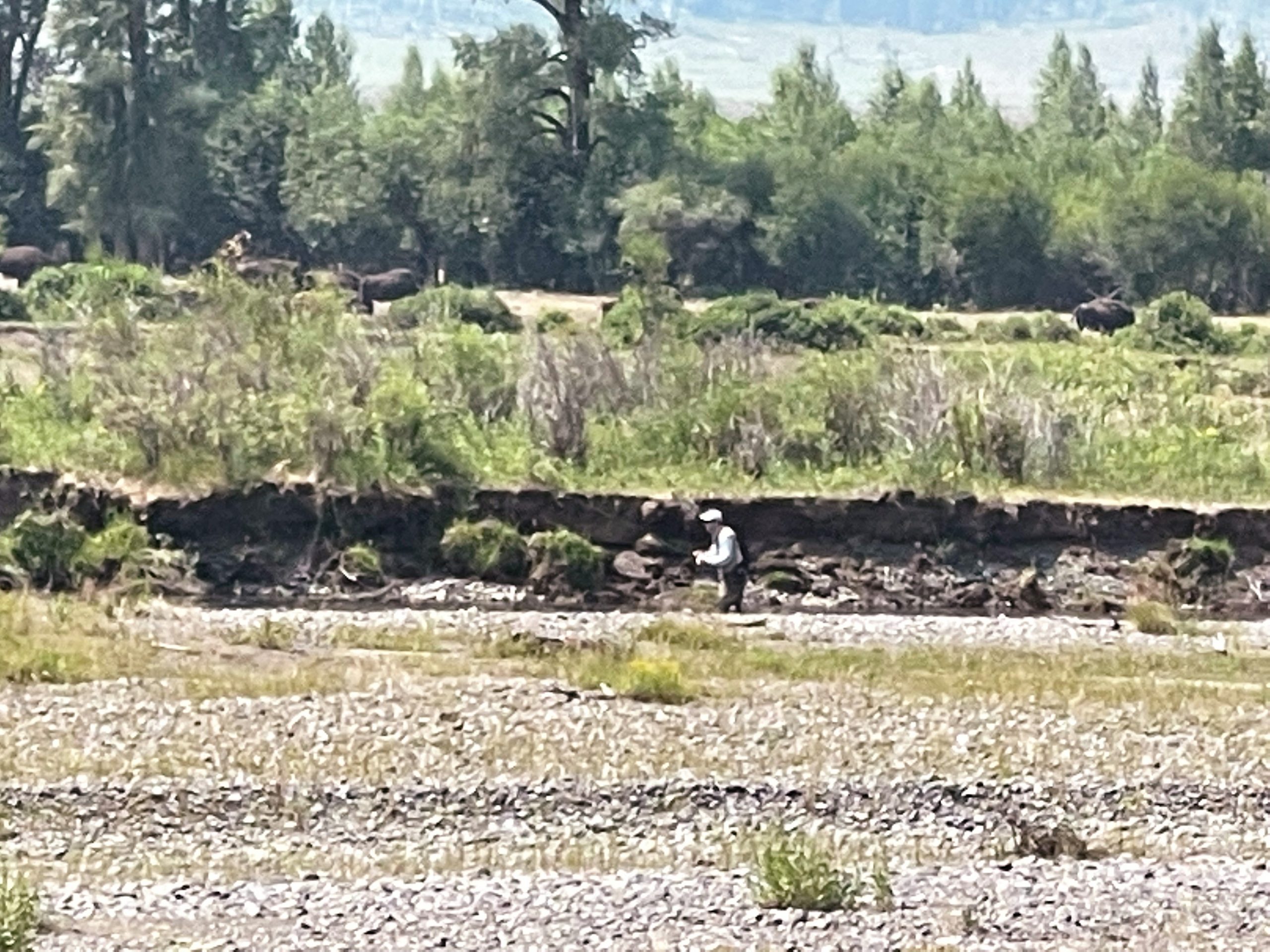
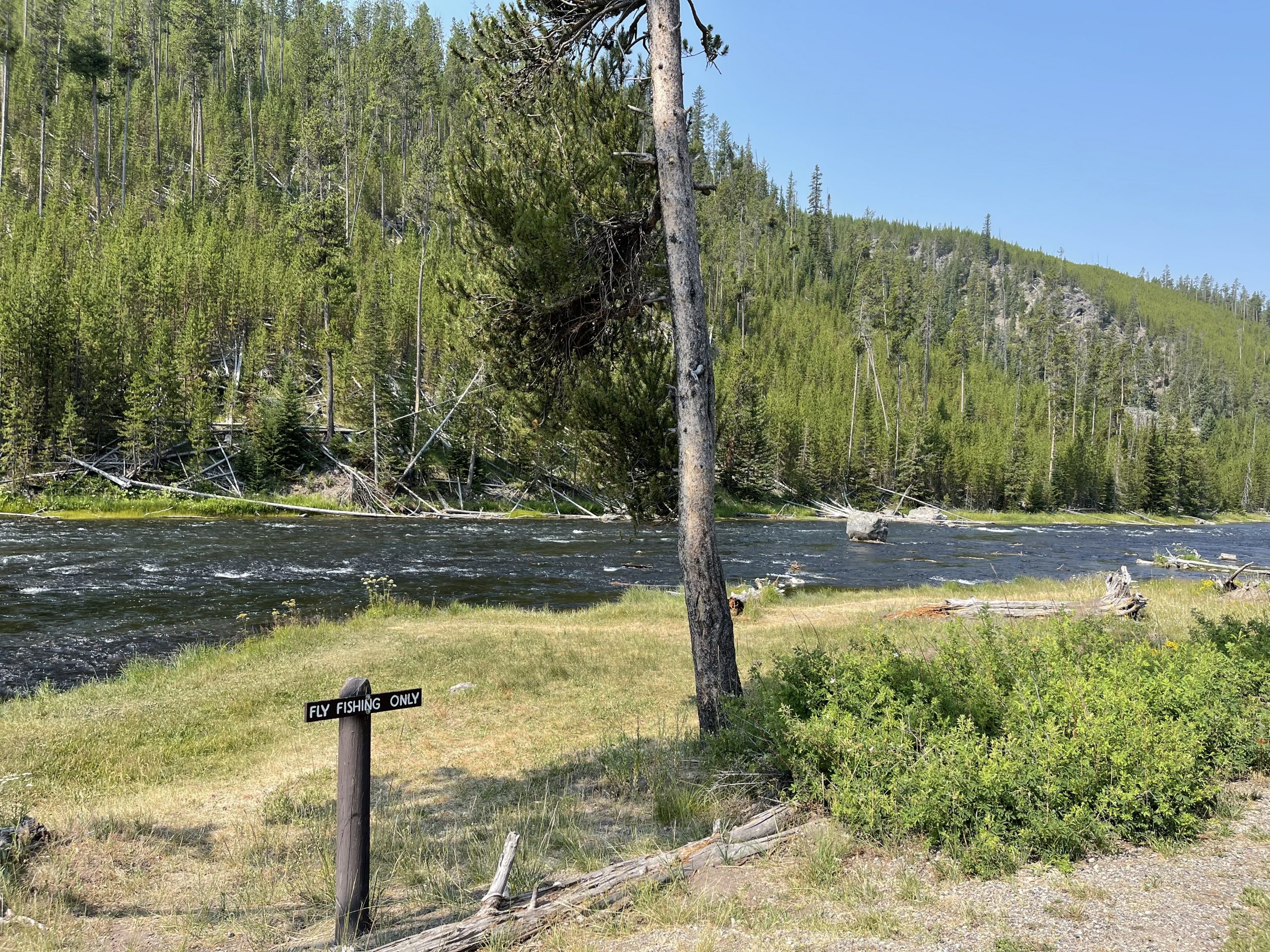
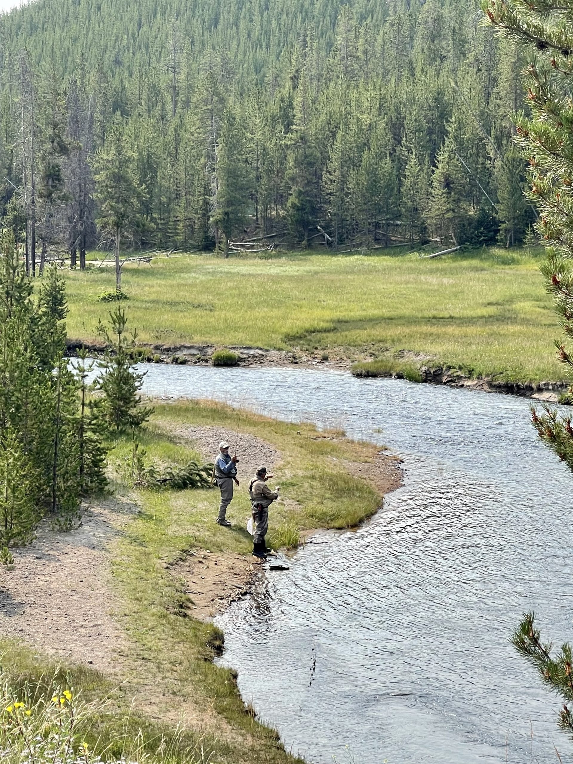
In this valley, of course, A River Ran Through It. And men fly-fished in the river, the buffalo grazing a short distance behind them.
When you’ve seen buffalo and deer and antelope, how can you help but not sing,
Oh give me a home where the buffalo roam,
and the deer and the antelope play,
Where seldom is heard a discouraging word,
and the sky is not cloudy all day.
As we began the long drive back to our campground, the roadside flowers, as they had throughout the last three weeks, welcomed me. Today, they softly sang Oh give me a home, and it felt a bit like this valley really was my home.
In every walk with nature, one receives far more than he seeks.
~ John Muir
Oh yes. John Muir is spot on. We are receiving far more than we had expected in today’s “walk with nature” here at Yellowstone National Park.
(I hope you have the music audio turned on! It might be located at the bottom of the page.)
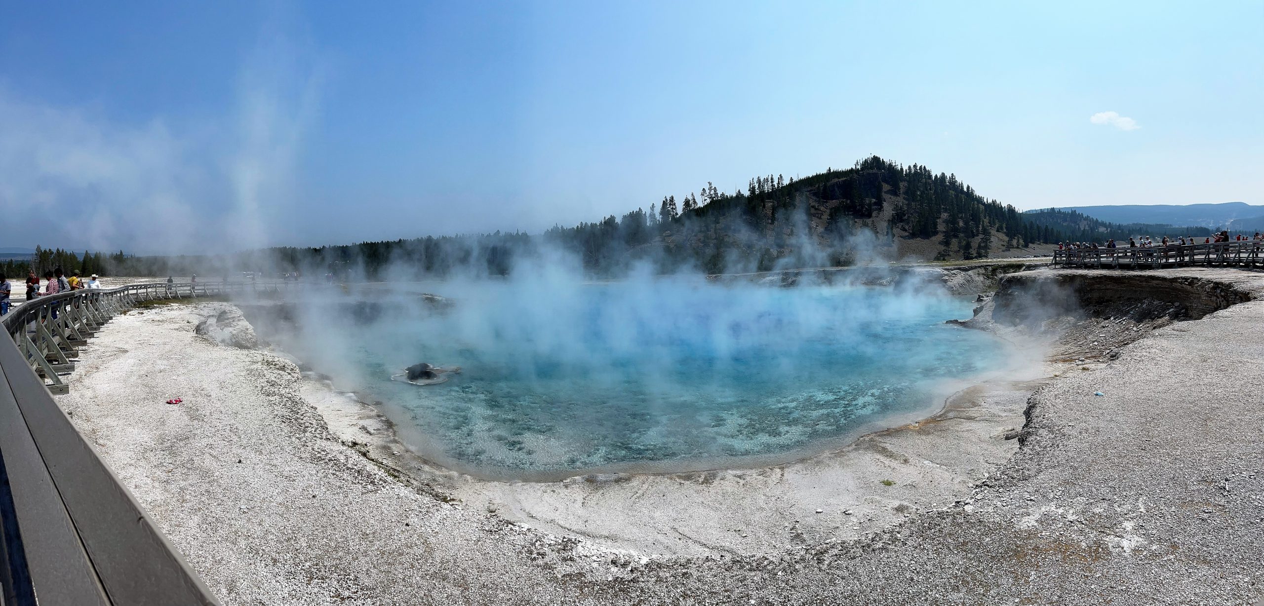
We stand before Excelsior, once the largest geyser in the world. Its boiling water bursted 300 feet high and just as wide before the 1900’s, but with the exception of a two-day eruption in 1985, is now dormant as a geyser. One can only imagine what those monstrous earlier eruptions must have been like. But I am fascinated with simply observing it as it is today – a massive, boiling spring:
(Did you know that you can click on each pic to enlarge it on most devices?)
In his book, Our National Parks, John Muir wrote,
“Near the Prismatic Spring is the great Excelsior Geyser, which is said to throw a column of boiling water 60 to 70 feet in diameter to a height of from 50 to 300 feet, at irregular periods. This is the greatest of all the geysers yet discovered anywhere.”
As he continued, Muir referred to Excelsior as “incomparable” and that “nothing in the world” could match it.
Now we are watching the boiling turquoise water of Excelsior spring up from deep within this crater and discharge 4000 gallons per minute into the Firehole River. It is amazing to think of the volcanic atmosphere underground.
Yes, John Muir, this Excelsior Geyser Crater is “incomparable.”
As we entered the park today, we had again followed the Madison River, but unlike yesterday, today we turned south. It seems every road in the figure-8 loop of Yellowstone and those extending beyond the figure-8 loop follow rivers. Our ancestors and those original peoples of this area did the same – traveled beside the rivers. Today, we travel along the Firehole River, suitably named for the boiling water that feeds it. Here and there, a short distance below the boiling discharge from Excelsior, we see people wade and swim in its waters. Yesterday, we had seen men fly fishing in the Madison. (Click here)Not only does this park belong to its wildlife, it also belongs to us – the people of this country. And I am honored.
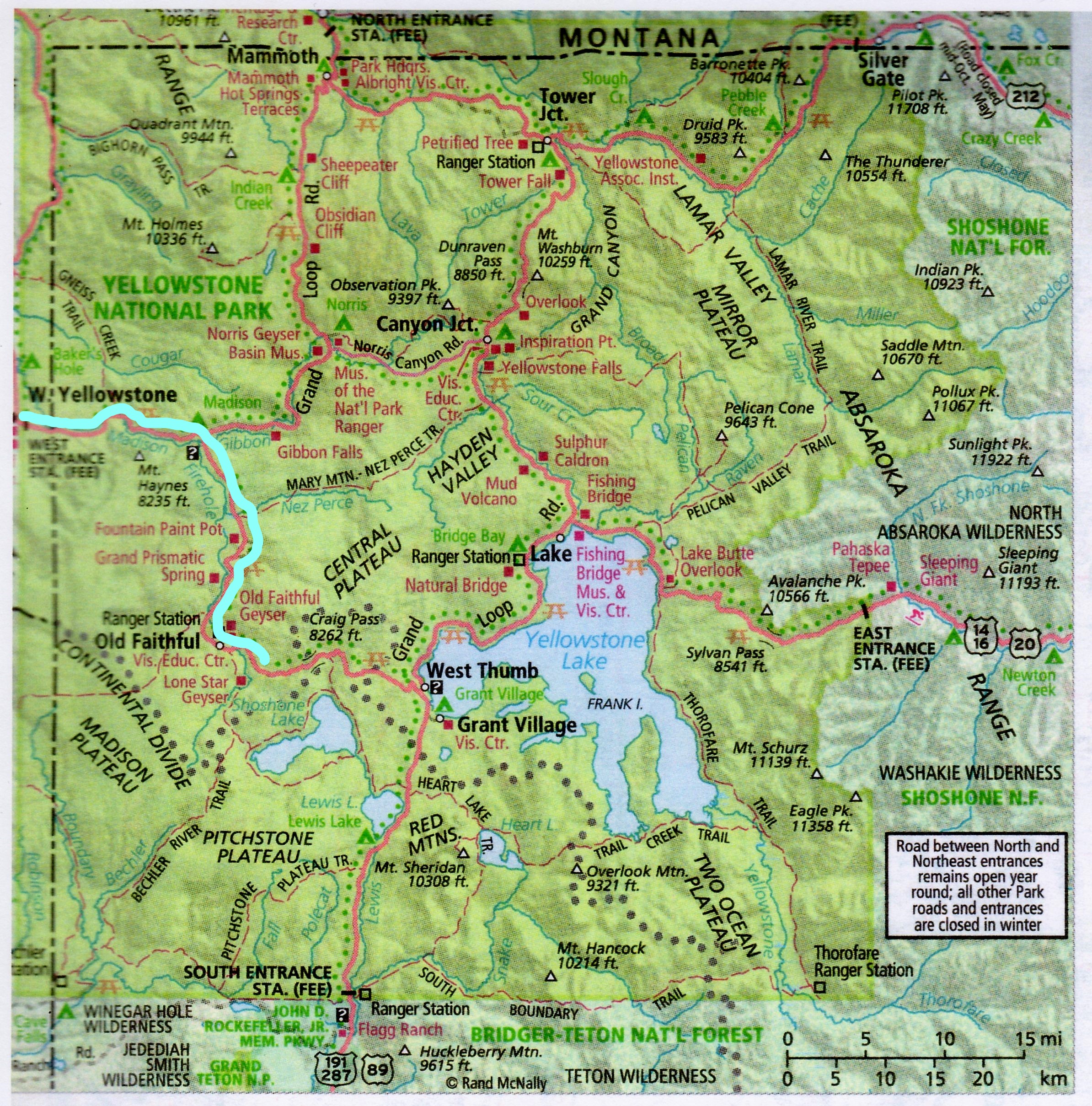
You’ll see today’s route in blue:
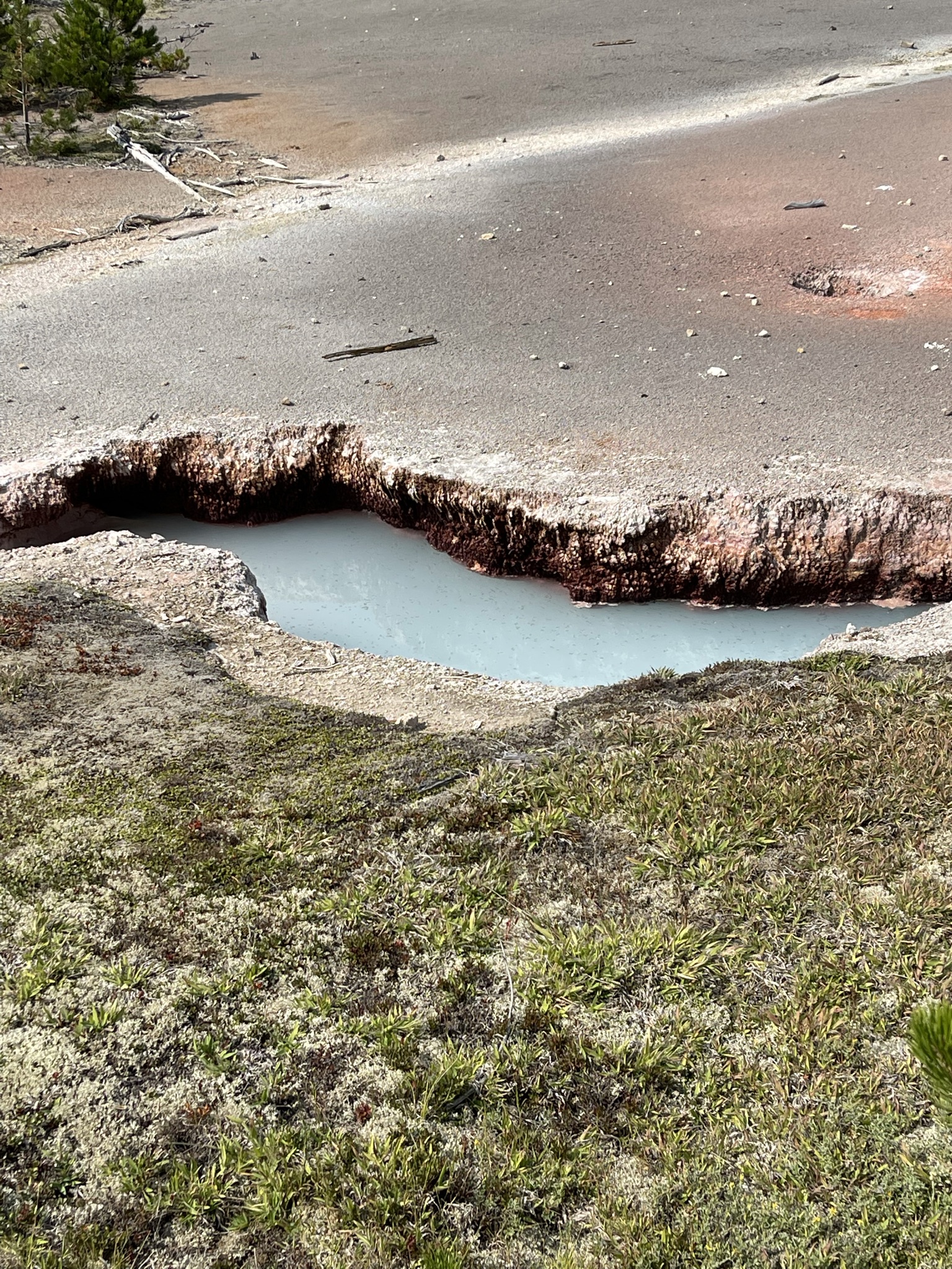
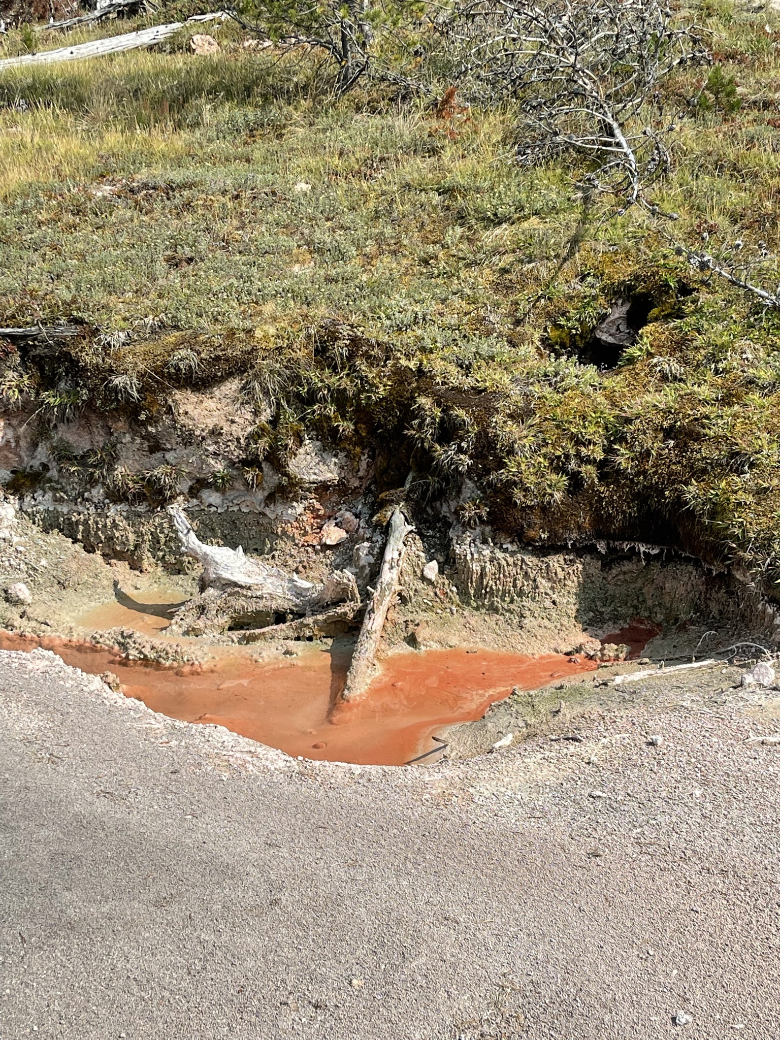
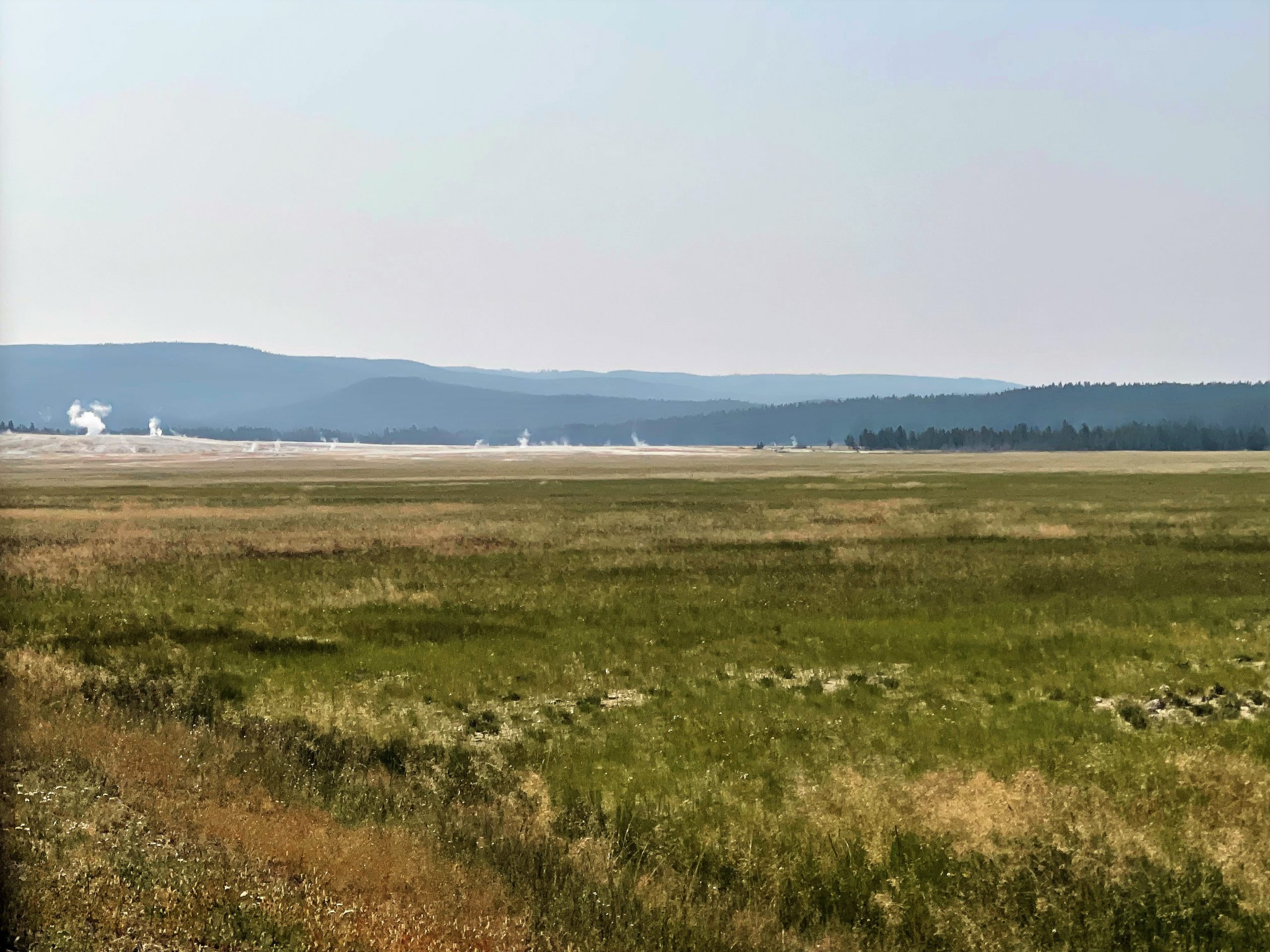
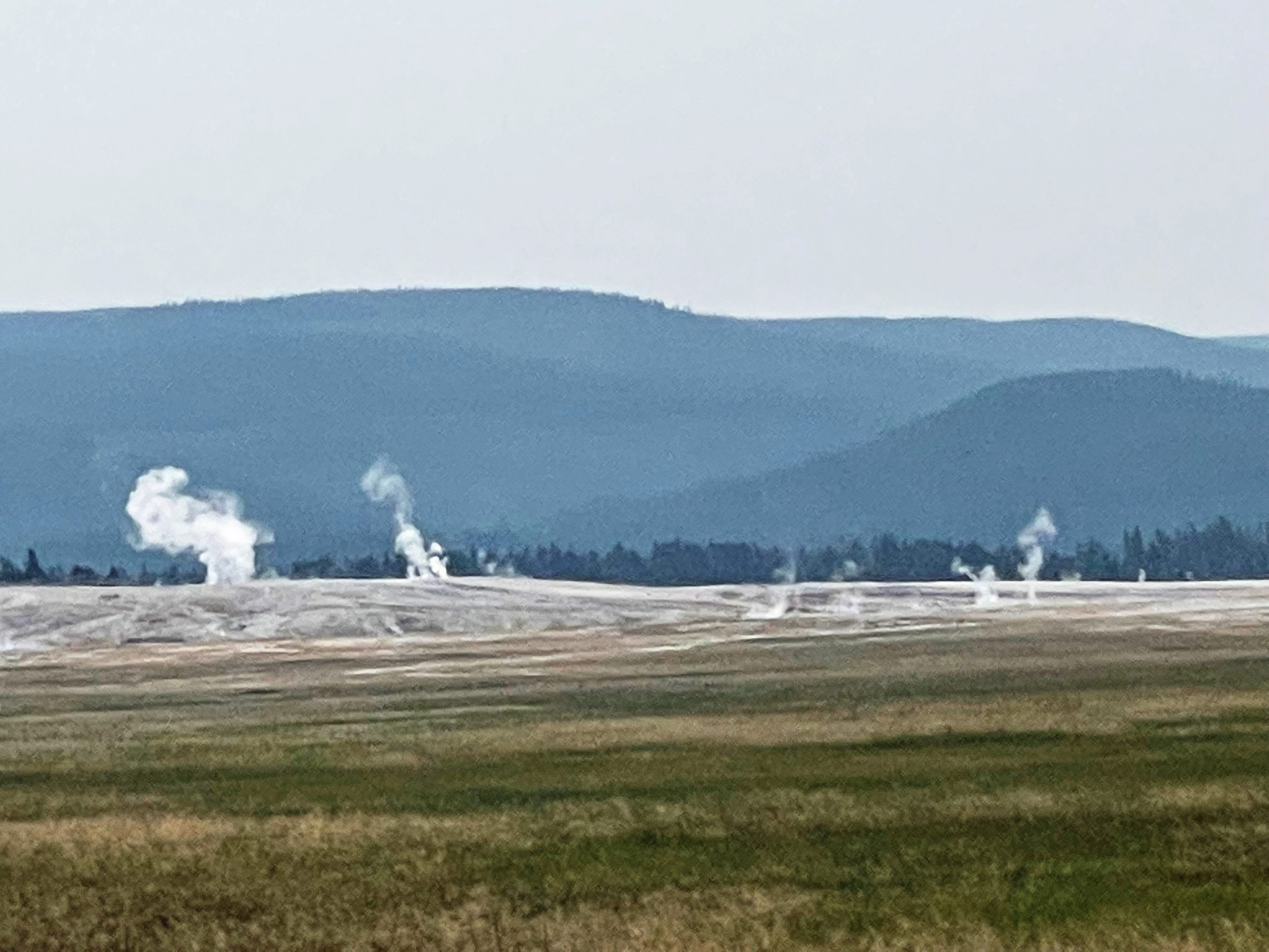
When you travel this area of Yellowstone, hot spots of this Yellowstone Volcano are even more visible than in other areas of the park. You can see them on either side of the road – for miles.
Planning for Yellowstone, Ron’s greatest desire was to see the Grand Canyon, which we had done yesterday. (Read about it here.)
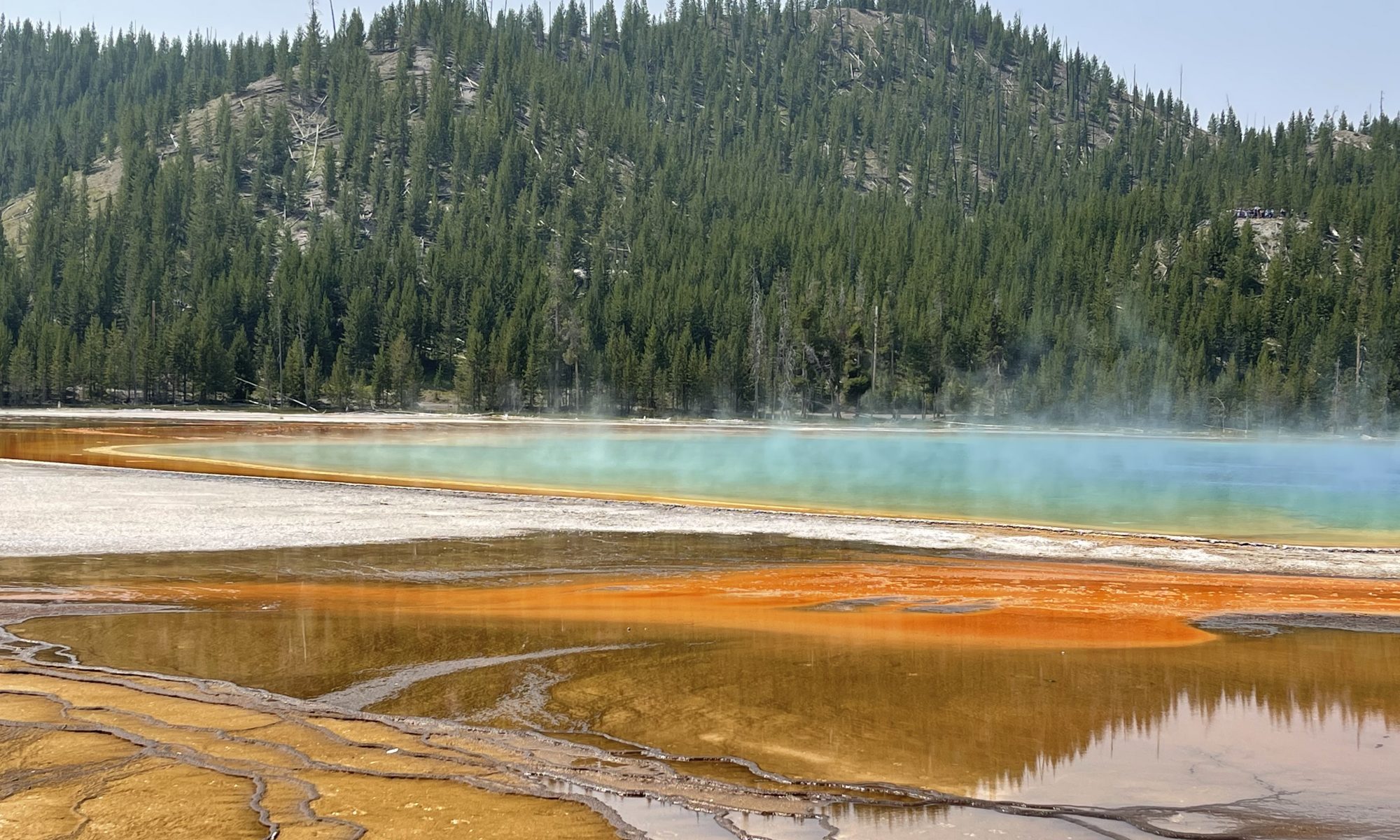
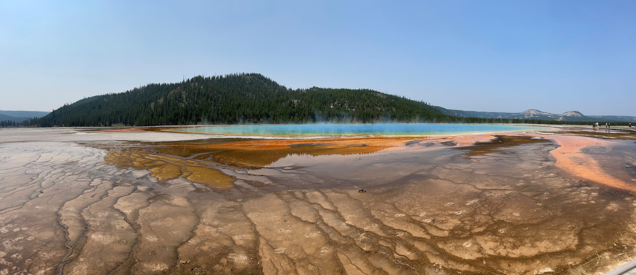
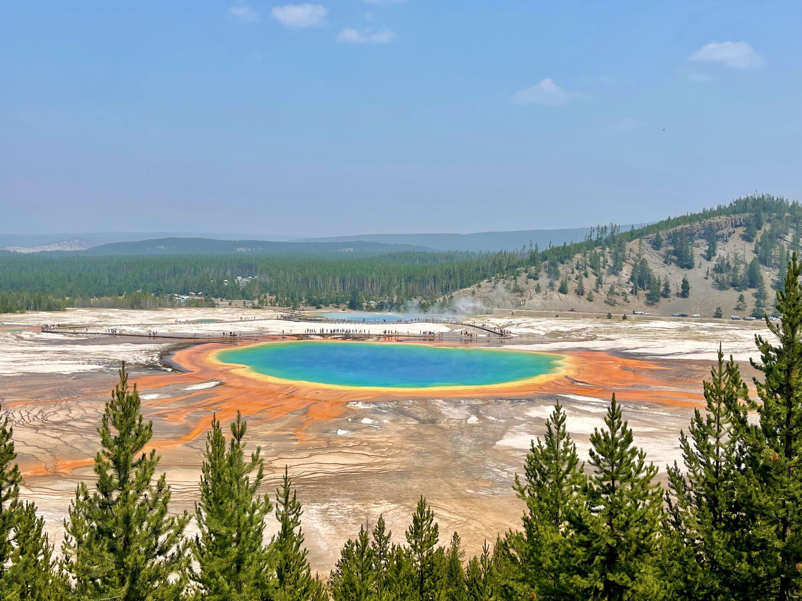
Today, we will view my greatest desire at Yellowstone – what I’ve most been looking forward to. And as awesome as I find Excelsior Geyser to be, I am most enthralled with the beautiful, colored spring behind it: Grand Prismatic Spring:
The center of the spring is near-boiling, and as the water reaches out to the edges and cools, colorful bacteria fill its waters. It is 300 feet long and 160 feet deep. The water in the center is 188 degrees! “The hot spring has bright bands of orange, yellow, and green ring the deep blue waters in the spring. The multicolored layers get their hues from different species of thermophile (heat-loving) bacteria living in the progressively cooler water around the spring.”
It’s not surprising this spring is called a living rainbow.
We have arrived mid-day. Having read that the colors are best if the sun is shining, we’ve pretty much hit it perfect! I am blessed.
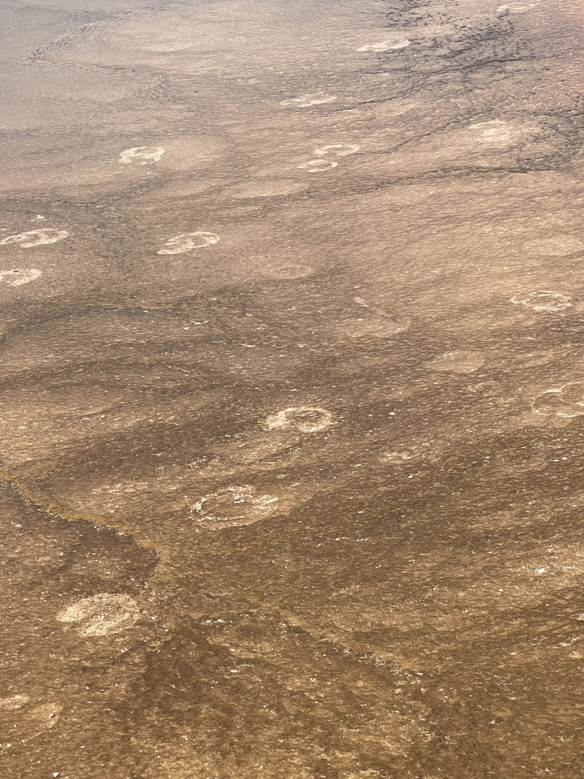
Ron spots buffalo prints and a “cow pie” it left in the crusty geothermal area between the boardwalk on which we stand and the spring itself. We humans are forbidden to step in this area, for our own safety. Temps had dropped to 40 degrees last night, and a buffalo had come here to warm up. The few rules of Yellowstone do not apply to those who call it home – its wildlife.
Before we leave, we stand and stare. Others move past us, but I am still, standing and basking, trying to push this scene of the Grand Prismatic Spring deep into my long term memory. The photos will help me to remember, and later I am pleased by their quality.
When we finally leave, we drive just a bit further on this road, around a curve to the trailhead that will take us to a lookout point of the Grand Prismatic Spring. And along the short distance, we see one single buffalo – between the huge hot springs and the trail to the lookout. This is the big boy who visited the hot spring in the night – I am sure!
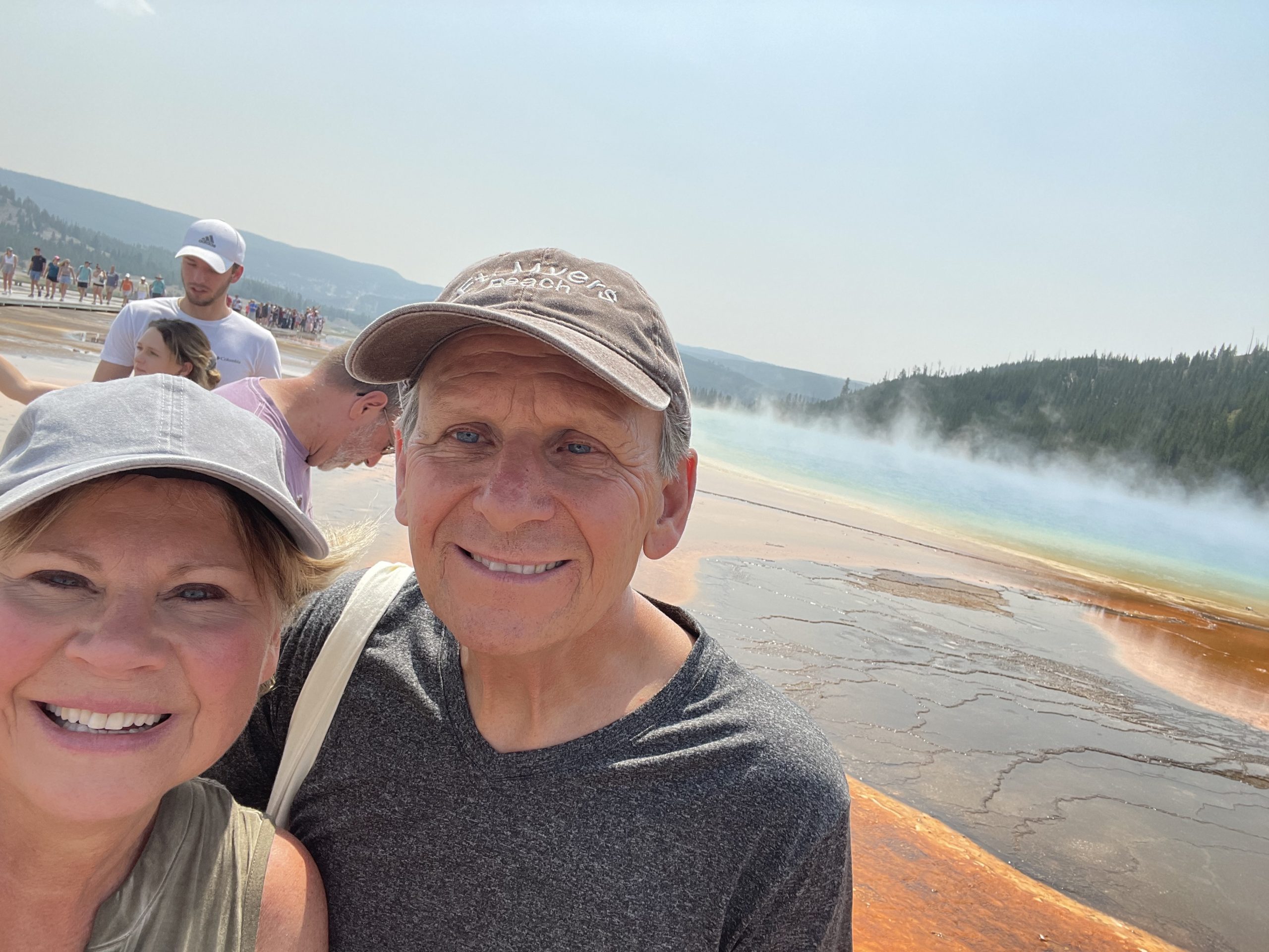
We hike a half mile uphill to see Grand Prismatic from the overlook. It’s challenging on this hot day, but oh so worth it. Can you tell from the looks on our faces?
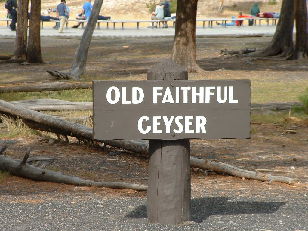
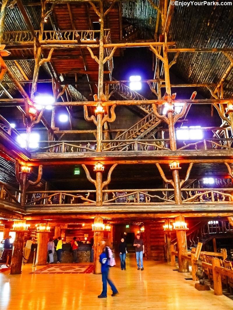
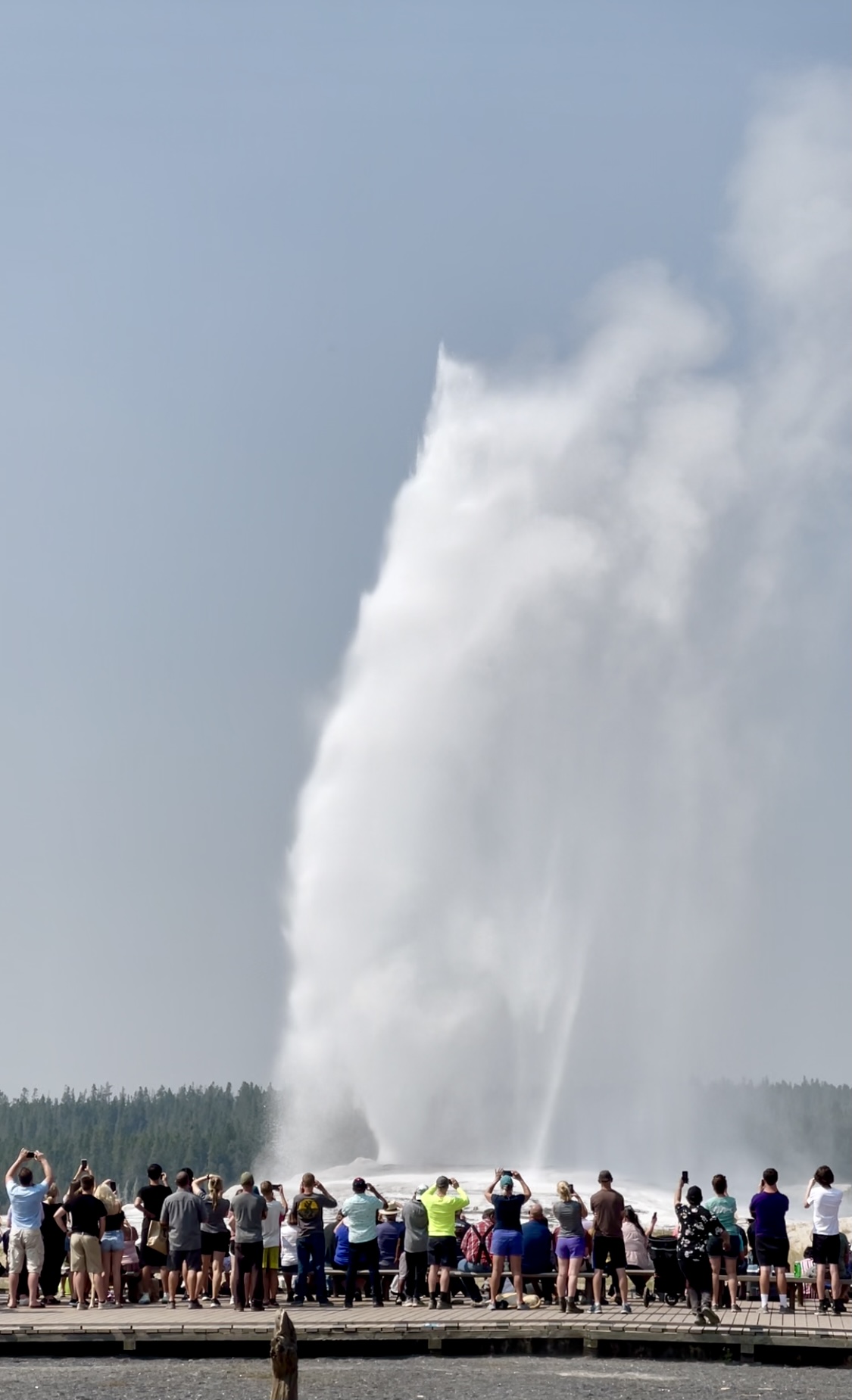
Finally we hike back to our truck, parked along the road. We enjoy a few minutes of air conditioning as we drive further south on this Grand Loop, following the signs for Old Faithful. Amazingly, we find shade in the outer area overlooking the geyser.
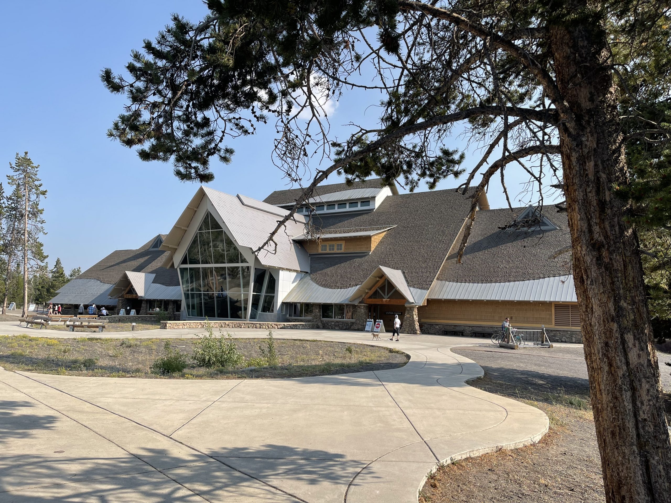
So we sit on a log to picnic, awaiting the eruption, and within the time frame predicted, Old Faithful erupts! Afterward, we browse the buildings in this “tourist attraction” – both old and new – and have ice cream on the porch of the Inn. Old Faithful most obviously attracts thousands of people a day. At least that many are here for this one “faithful” eruption. The number of people makes this spot so different from others throughout the park. Throughout the afternoon, we see smaller geysers erupting in this area.
All day, I thank God I am here in this place of the yellow rock, Mi tse a-da-zi , which I wrote about yesterday. I thank God for the opportunity to be here and for the good health He has given Ron and me to hike these paths. I thank him for my travel mate of 50 years, my Ronnie. But most of all, and continually, I breathe spoken prayers of praise to my Father, for His amazing creation and this tiny bit of the original magnitude of that creation and a foretaste of what I will see in heaven.
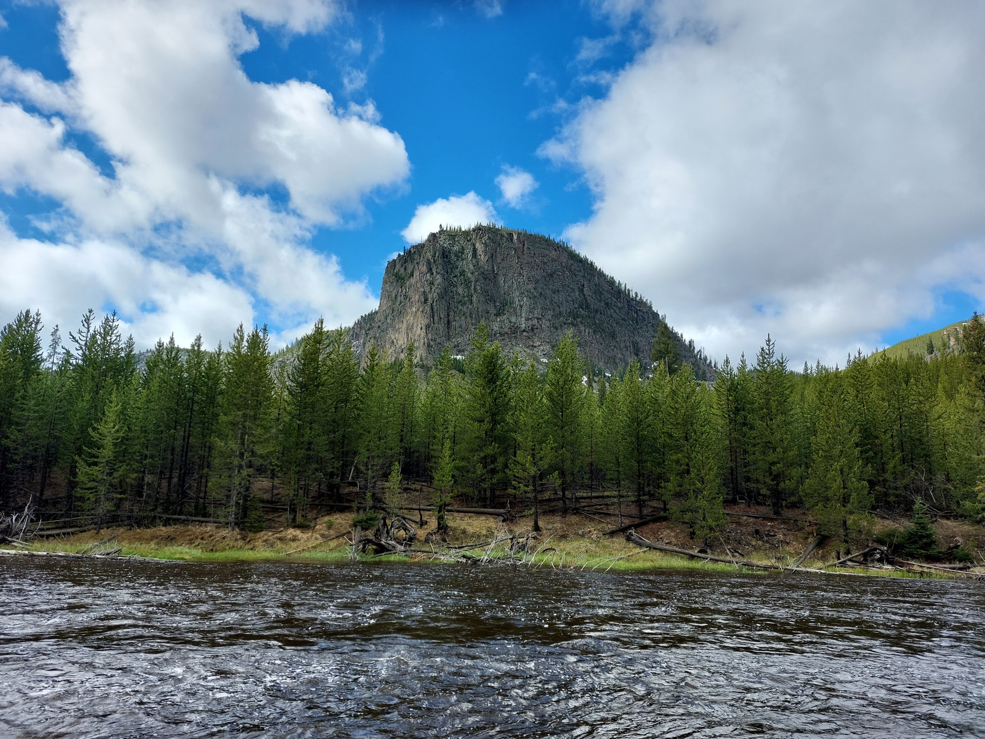
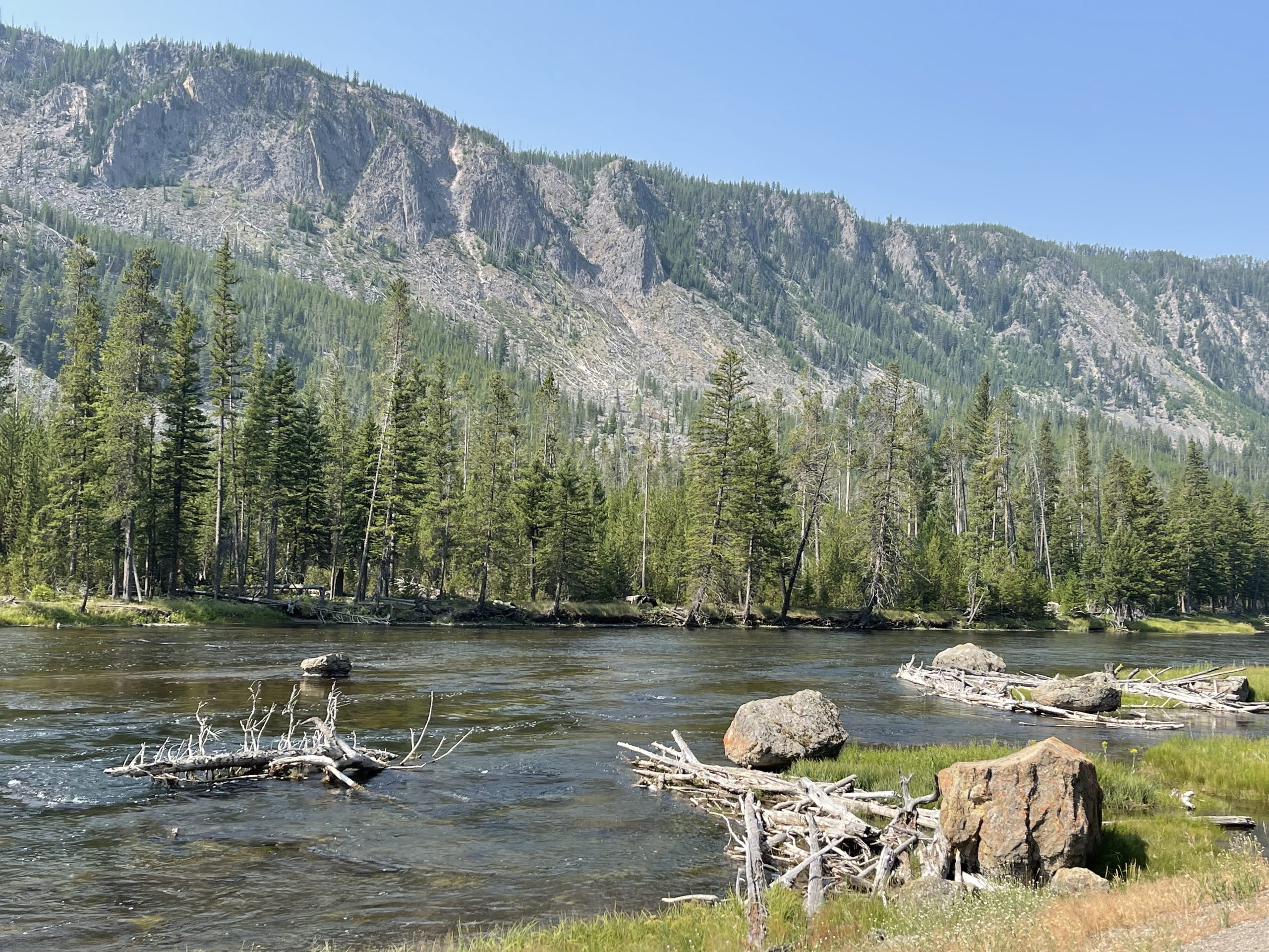
At the end of this second day, we again follow the Madison River toward our West Yellowstone exit, and today, our eyes are fixated on Mt, Haynes, named for the first official photographer of the park. Mr. Haynes might be appalled at the quality of my photos, but I am thankful for each one. I am already reviewing them with joy as I send them to our children, while we drive back to our sweet little travel trailer for the night. Tomorrow is another day in Yellowstone!
Yellowstone. There’s no beginning and there’s no end to this place – at least, we couldn’t find either. Your own personal beginning might be the time and location you enter – something like your first time at Disney World but in awe rather than excitement. You can’t take it all in, so you absorb whatever you can – whenever you can – as you drive and stop and hike and stare and bask.
In awe.
And by the time you leave, you are saddened because you want more of this place, Yellowstone. You have stepped upon only a few of its 2,221,766 acres, have gazed upon only a fraction of its 3,472 square acres, and have spotted only some of the 67 species of mammals or 300 species of birds. You desire more, but you must save it for another time. It’s like a difficult breakup because you’ve established a relationship with this place that you’ll never shed. You’ll take it with you as you go, and it’ll never leave you.
Yellowstone.
(Make sure your audio is on. You’ll find the adjustment at the bottom of this page.)
You’ve read about it – see pics of it. I joined some social media groups that shared information about it. Then you make a plan. Many people have a perfect strategy before arriving.
Ron and I know we are a bit weak on our plan. The night before we enter the park, after we are settled in our campground just ten miles from the West Entrance, we review ideas and brochures. We have allotted three full days in the park and a fourth day to drive through the park, exiting through the East Entrance, planning much of that drive to be in yet a different area than we will see throughout the first three full days. So we plan our days in order of their significance to us, wishing for more, but realizing our time limitations.
We enter the park from the West Entrance each day, but the first day is something like that first day at Disney World, but both exciting andawesome! The traffic slows, and I fumble with my camera. I’ve heard that when the traffic slows, it’s most likely because they’ve seen wildlife. Yes, that is the reason today. This is the first but not the last time a park ranger coaxes us – well actually yells at us – to move on. “Don’t stop in the road,” she hollers to the row of cars in front and behind us. “View the wildlife from the pulloffs.”
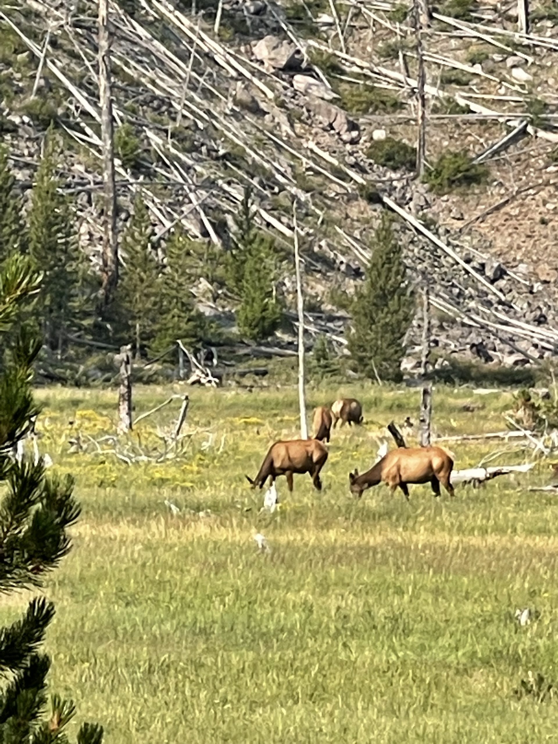
But actually the traffic moves slow enough that we have ample time to view the wildlife from the vehicle. Our windows are down every day – all day. Crisp air, purified by greenery and water and rock, permeates my lungs, refreshing my body and invigorating my soul. We gaze, wanting to be one with this nature. A big dark buffalo saunters in the tall bright green grass of the meadow. Elk eat from the plants a bit further back. This is a pasture unlike any I have seen across the Northern Great Plains or anywhere through this land so far. It is an unusual scene for this Michigan girl, for sure!
We seem to flow with the Madison River along this welcoming route, first on our left, then on our right. The first day we view the splendor of this river. The second day we fall in love with it. The third day we adopt it as our own. And the fourth day, as we leave, we pledge to always remember it.
We soon discover that this place belongs to the wildlife and to the plants and the trees and the water and to their Creator. We are merely visitors. But we are welcomed visitors – you and I – if we recognize and accept our place amongst all of this. We are humbled by its magnificence and by its uniqueness and by its beauty. We eagerly accept our place.
Day 1 in Yellowstone. Yellow route.
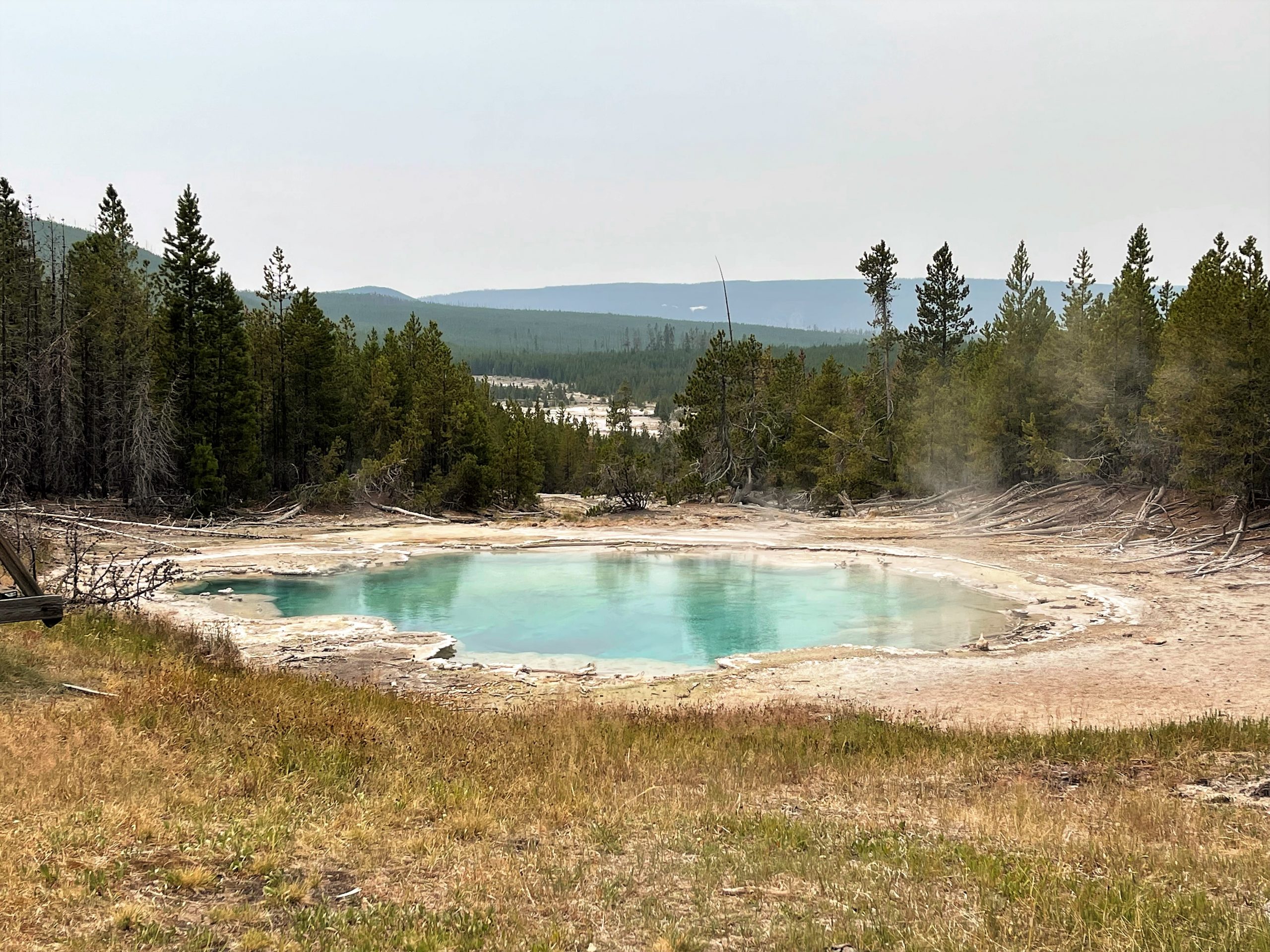
The Madison River runs through the pastures like a cutout intended for watering livestock on a farm. Then it widens as it edges the mountain beside it, finally disappearing in the forests beside us, as we turn north onto the Grand Loop. Now the Gibbon River accompanies us. This land is filled with rivers and lakes and waterfalls, and with something quite foreign to us – geothermal features: geysers, steamvents, mudpots, and hot springs. We pull off to view the first hot spring we come by: Beryl Spring. I video – and photograph, soon realizing I wouldn’t have the time or opportunity to video each of the unique elements of the Yellowstone caldera, even if I lived here.
Gibbon Falls.
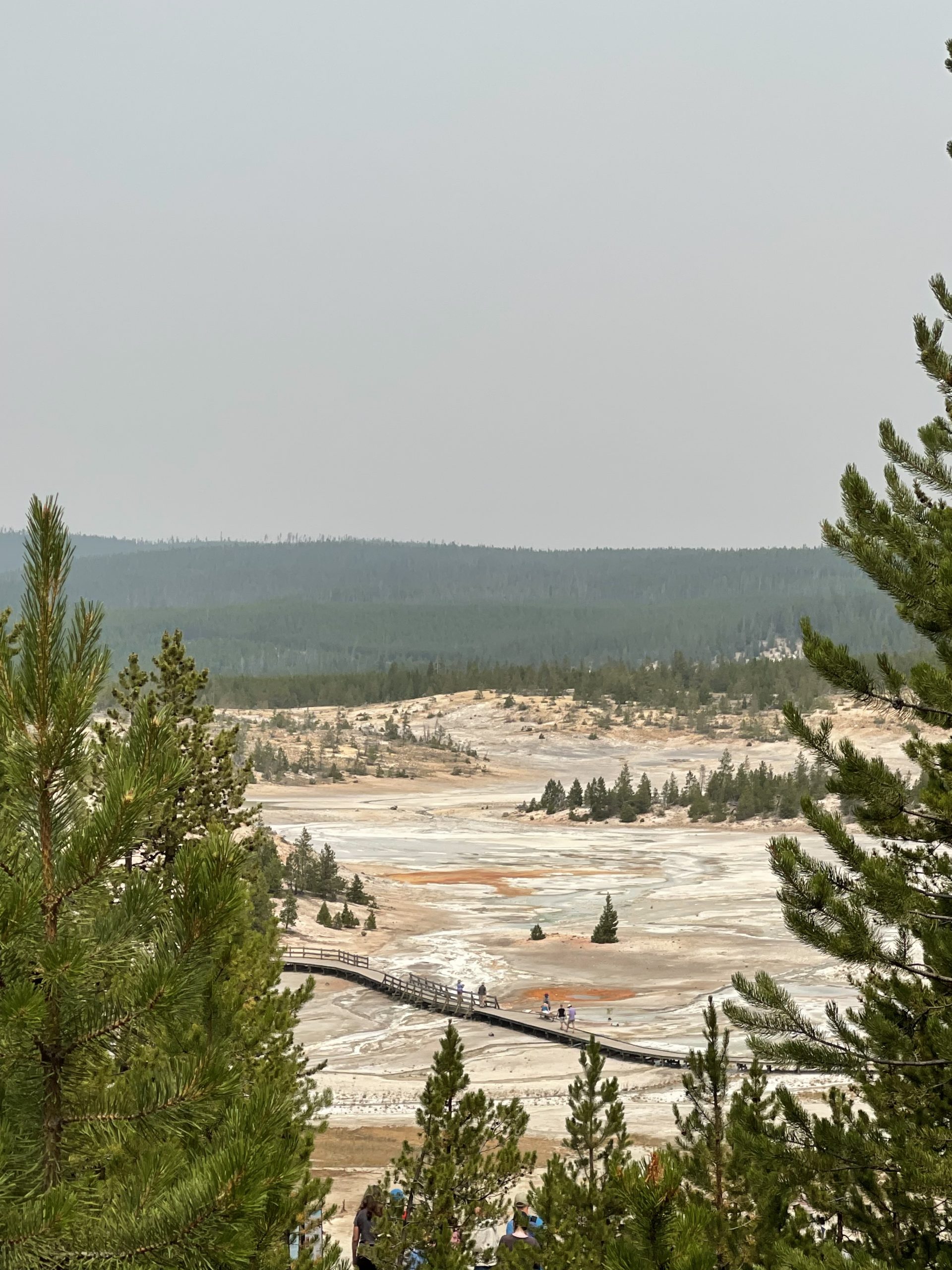
We see the Norris Geyser Basin with its many geysers, springs, and geothermal grounds.
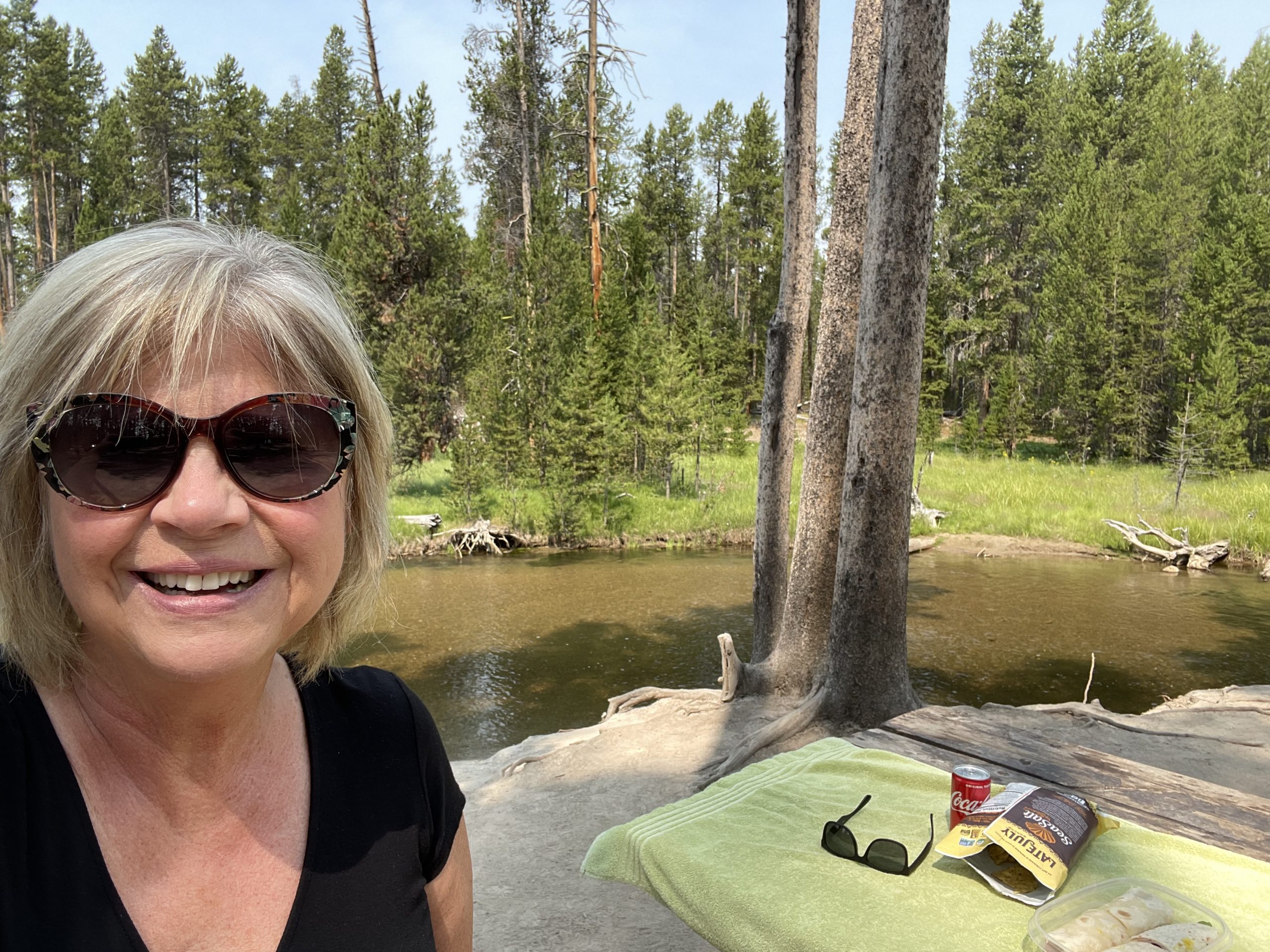
This park is like Michigan’s Upper Peninsula on steroids. Here, as in the U.P., one doesn’t find “Do Not . . .” signs all over the place – only occasionally and when necessary. It’s all original and inviting – in its natural state. We are welcomed here. Roadside Parks are abundant, and we enjoy our picnic lunch up at one of those roadsides, along the Gibbons River.
We follow Norris Canyon Road to the Hayden Valley where we drive slowly, stop, walk, view – and repeat this over and over for hours! Herds of buffalo, valleys as far as the eye can see, mudpots, caldrons – all along the Yellowstone River, from which this National Park was named. We have many close-up opportunities to view buffalo from our truck. We find that the bulls are often loners – near the road – far in the distance – but the cows are always seen in the herds, often with their babies.
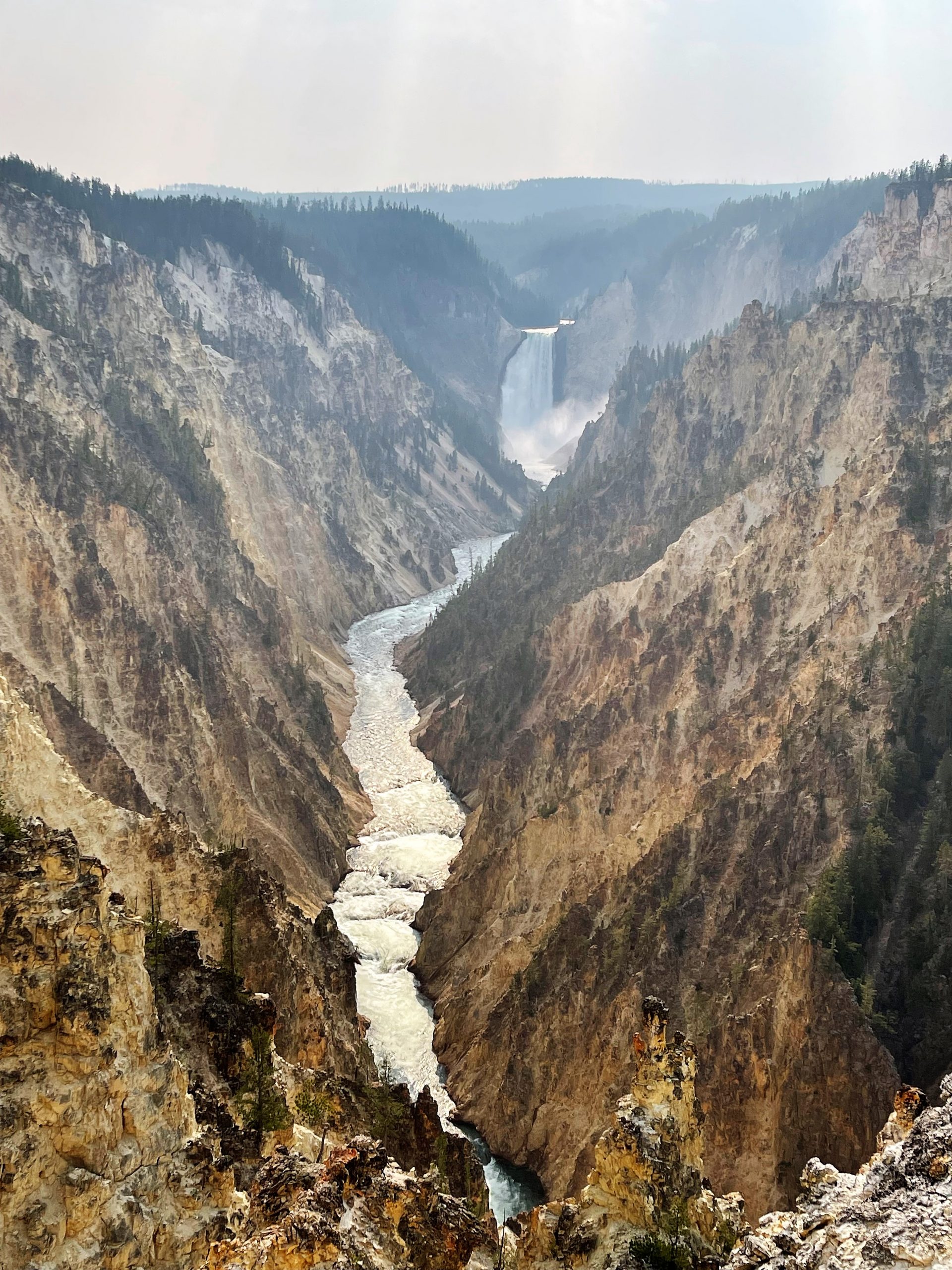
Nearing the end of that first day in the park, we visit the location Ron has most anticipated: The Grand Canyon of Yellowstone.
We have developed the habit of praying for one of our immediate family in each beautiful location we’ve visited on this western Adventure. We had started with our son, Matt, who we prayed for on the Going to the Sun Road in Glacier National Park. Today we pray for our grandson Noah as we stand in front of the powerful Upper Falls. The magnitude of its power and beauty is compelling, but when we proceed to the Lower Falls . . .
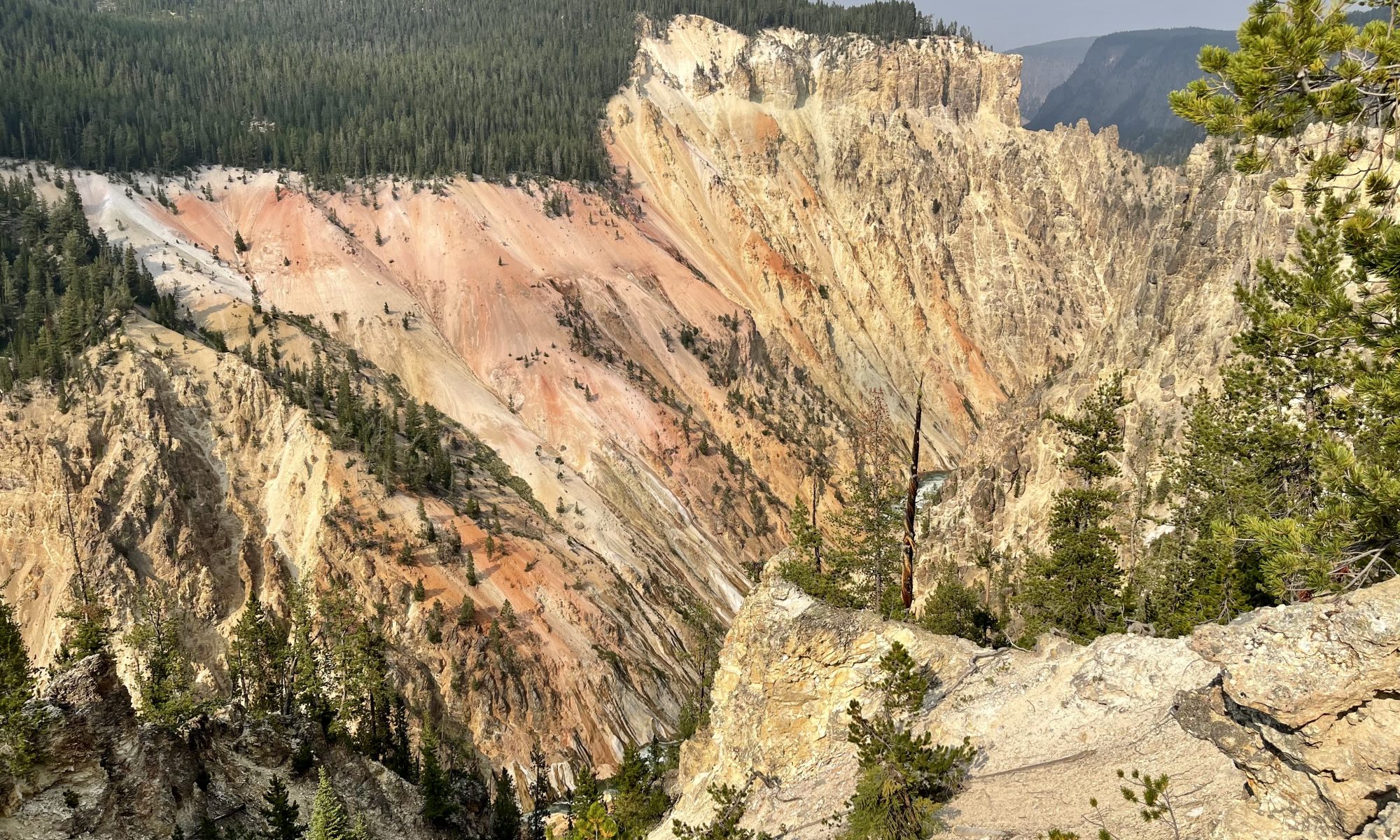
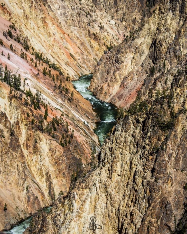
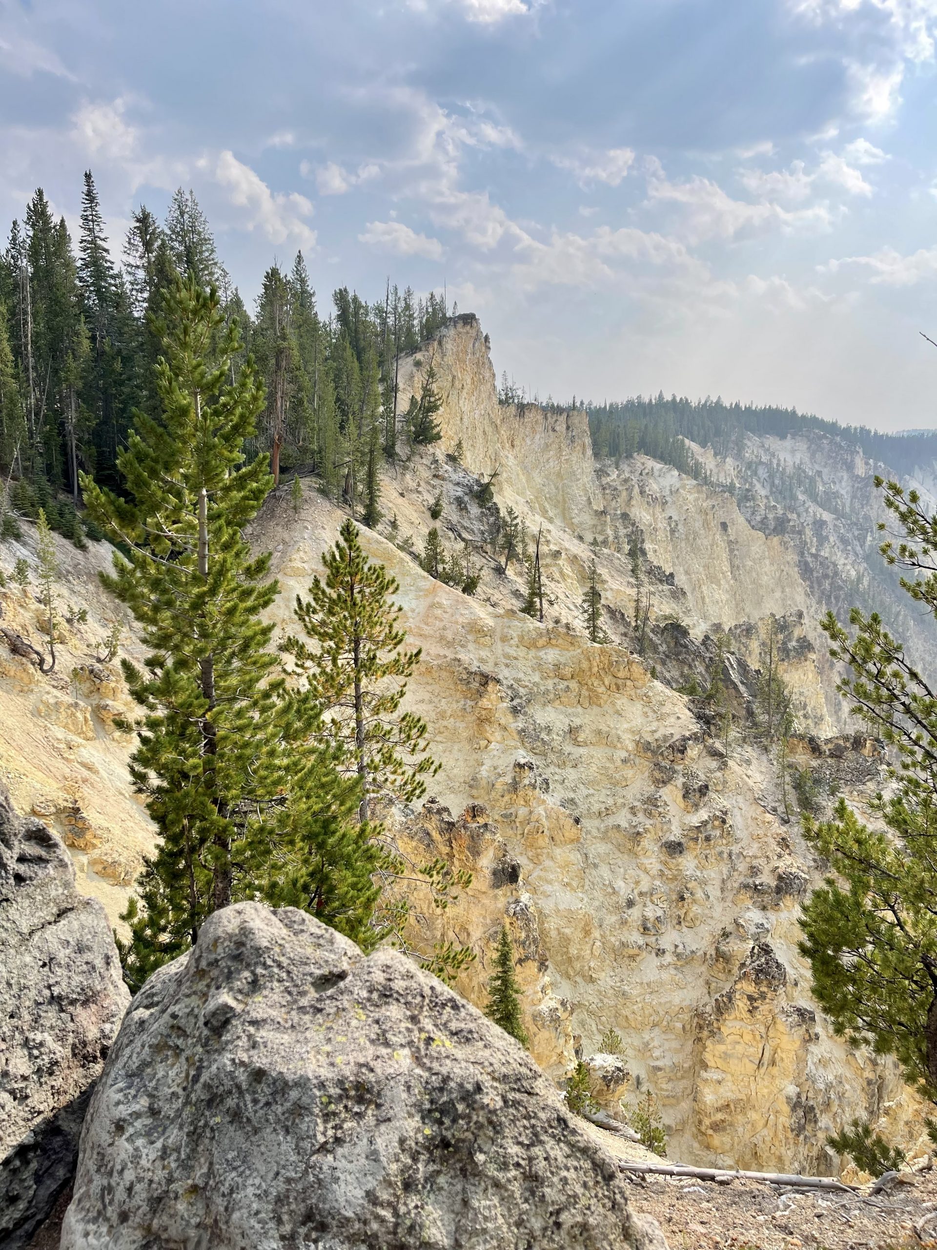
As I had been in the Redwoods (Click here)., I am again speechless. My eyes well up; I am so appreciative of being able to see this site. Ron stares in wonder. It is all he had thought it might be and so much more: the Grand Canyon of Yellowstone:
Borrowed photo of the canyon
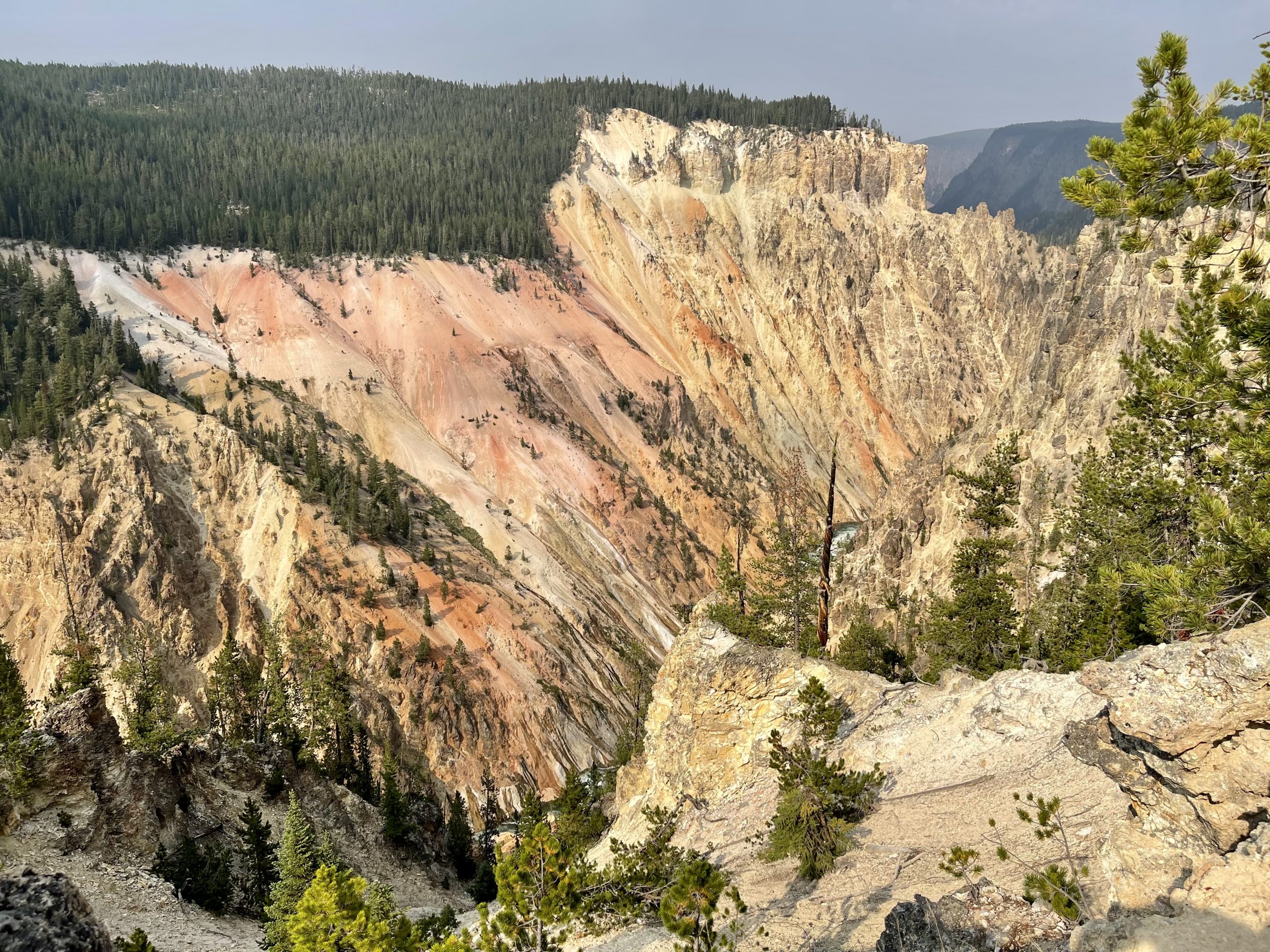
First, the River was named by the Minnetaree Indians, who called it Mi tse a-da-zi, or Yellow Rock River in Eastern Montana, but the park then took the name Yellowstone after the yellow sandstones in this canyon. Now we understand.
Yellow sandstone formations in the Grand Canyon.
We literally force ourselves to leave this site to drive back to our campsite, our hearts full of the wonders we’ve seen, but our bodies tired from the day. We look toward tomorrow – another day in Mi tse a-da-zi – Yellowstone.
On these 21st and 22nd days, we were “headed” to Yellowstone, although we didn’t consider it our “destination.” Instead of a place, every mile, every jaunt, of the trip itself was our destination. This was practice I had developed as a youngster and Ron seemed to come by naturally.
When I was growing up in Michigan, my Daddy and Mama took our family on vacation every year – never across the country or to another continent – but to northern Michigan many times and to Virginia once. The destination was never our focus. The trip was our focus. We stopped along the way at roadside picnic areas where Mama tossed a tablecloth across the table and set out cold fried chicken and homemade lemonade carried in a glass gallon jar that had previously held apple cider vinegar. As we travelled, my brother, sister, and I played games in the car and occasionally fought like cats and dogs, while Daddy and Mama discussed sites we passed. My little ears and mind must have picked up their conversations, as I remember such things as The North Begins at Clare. I learned in those years that the trip, itself, was the destination.
Then, after Ron and I married, whenever we took our three kids, Matt, Kristen, and Amber, on trips – camping in the Upper Peninsula or the long drive to Florida – we tried to make the trip, itself, our focus, too.
That first travel trailer, a used 20′ 1971 Holiday Adventurer, was probably our all-time favorite – undoubtedly because with it, we created our first camping memories with the kids. We loved our little trailer, its cushions covered in a green flowered print, coordinating with the avocado green appliances. (I wish I had it today!) We had some great experiences in that trailer. The first time we took it out, our two new bikes fell off the new bike carrier on the back, and a tree limb took the antenna off the roof when we backed into the campsite. Camping was always an active adventure, from Kristen falling out of the upper drop-down bed to Ron and I yelling at each other nearly every time we backed into a campsite at a State Park!
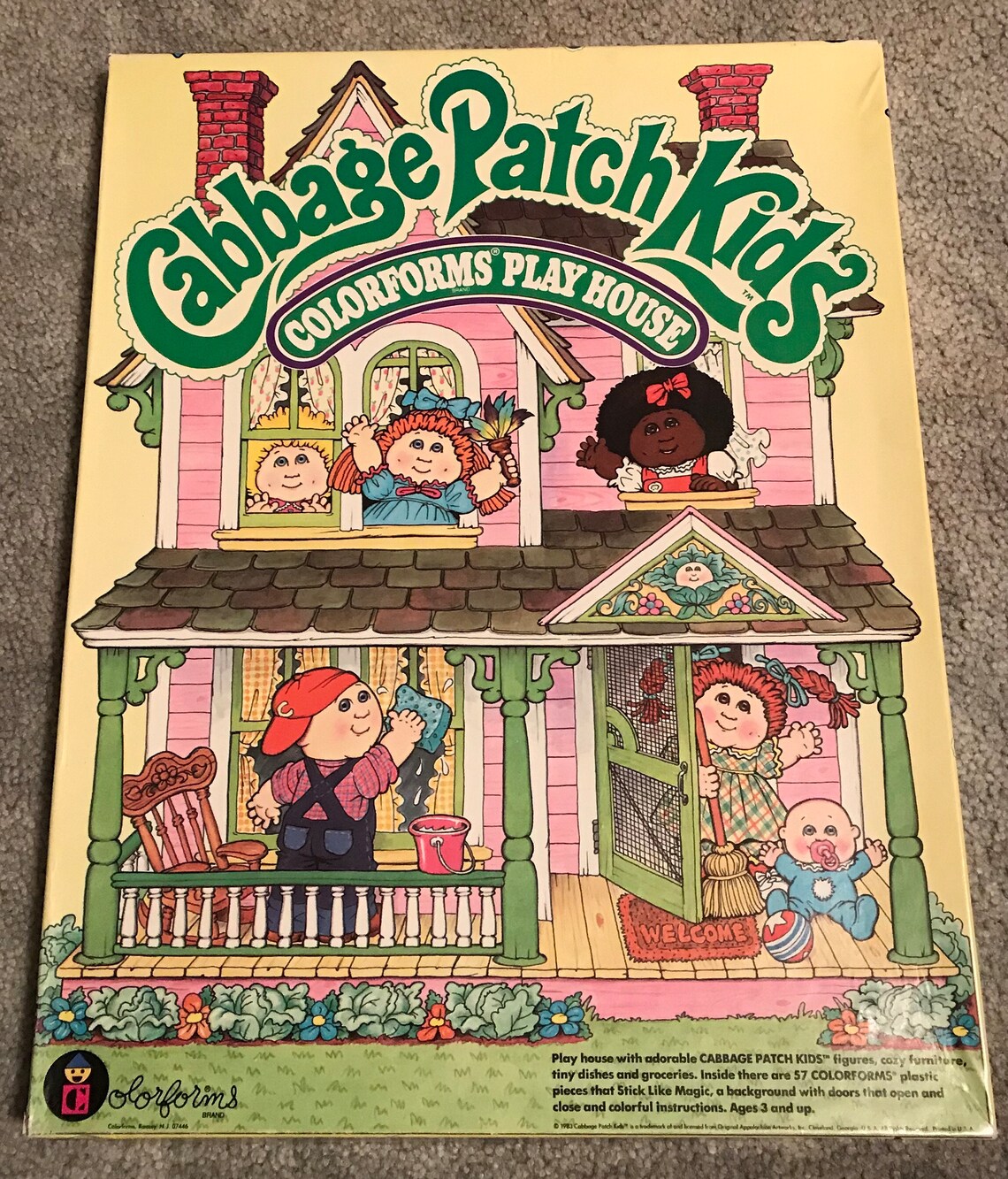
In addition to camping, the hours spent on the road throughout two days of driving to Florida hold special memories, as well. I wrapped small gifts to keep the kids busy in the car: new crayons and coloring books, small magnetic checker boards, or my favorite – Colorforms.
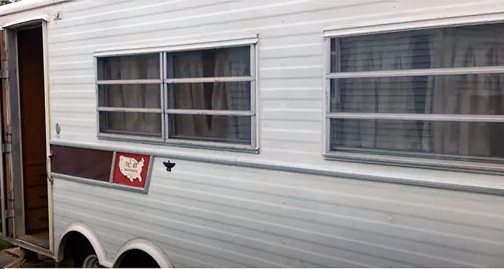
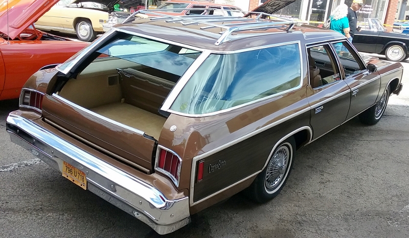
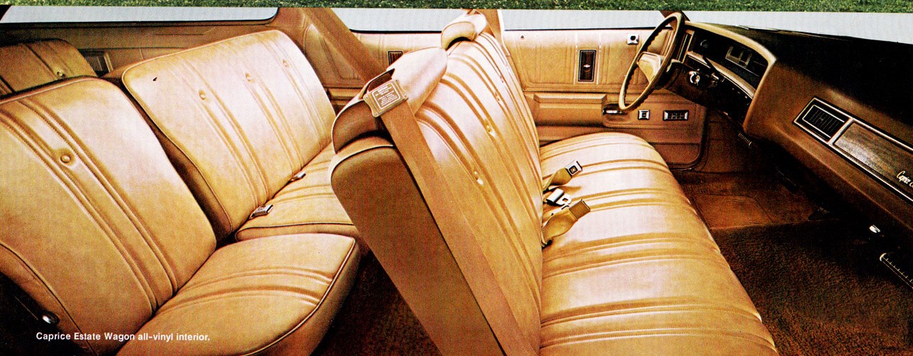
The fascinating thing about those long drives was our mode of transportation . I particularly remember traveling in a 1976 Chevy Caprice Estate Station Wagon. Ron and I had driven a couple hours away to buy this used wagon, a few years old but in excellent condition. We lovingly referred to it as The Tank.
The Tank was huge – three full seats, each with plenty of leg room. Behind the third seat was a huge cargo area. The back gate rolled under and the back window rolled up (see the pic). Everything was automatic. It was all decked out with power options. When we went on vacation, we put the second and third seats down flat and placed a full-size foam mattress in the back and let the kids have at it (it’s a redneck term). I placed a suitcase beside each back door so the kids didn’t get near the door handles or automatic windows. Lunches and snacks were packed in shoeboxes, so we only stopped when necessary and for an overnight at a reasonable motel. They played all the way to Florida and napped only occasionally! It was a joyous trip – one for which we would be chastised today – but in those days . . .
Regardless, whenever we left for a vacation – either pulling a travel trailer or in a big old station wagon, my Daddy and Mama reminded us, “Remember now, your vacation starts when you leave home.” It was a statement they had made all those years ago when they took my brother, sister, and me on family vacations; they repeated it some years later to Ron and me and our kids as we left home for vacation; so Ron and I have the same mindset to this day: the destination isn’t the focus of our travel. Each mile of the trip, itself, is the focus.
So, on these 21st and 22nd days, the trip itself – not Yellowstone – was our destination.
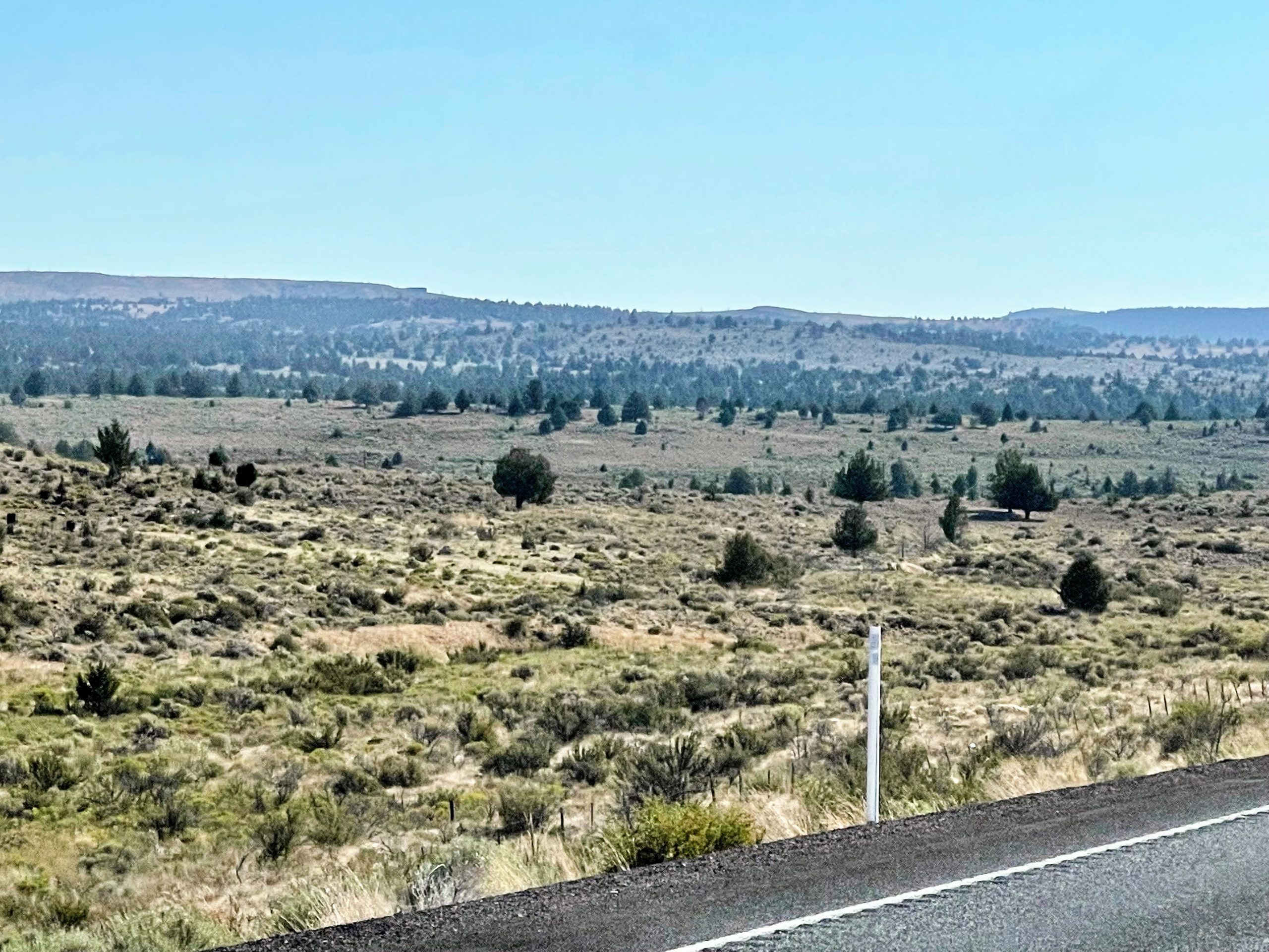
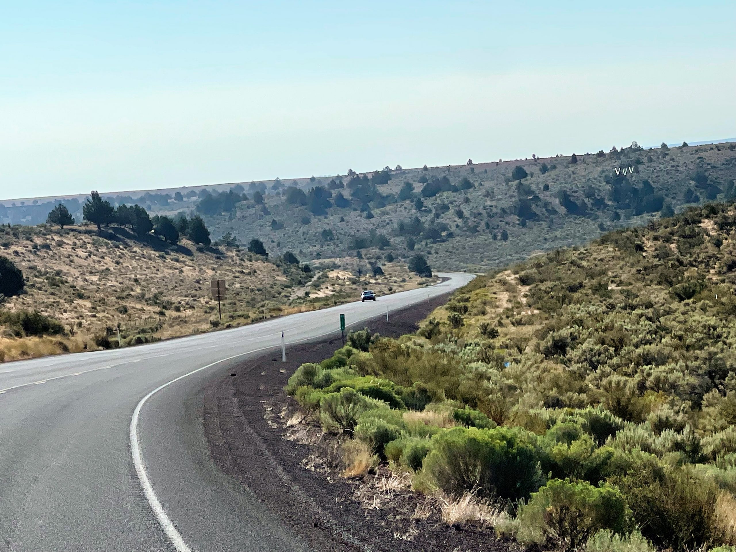
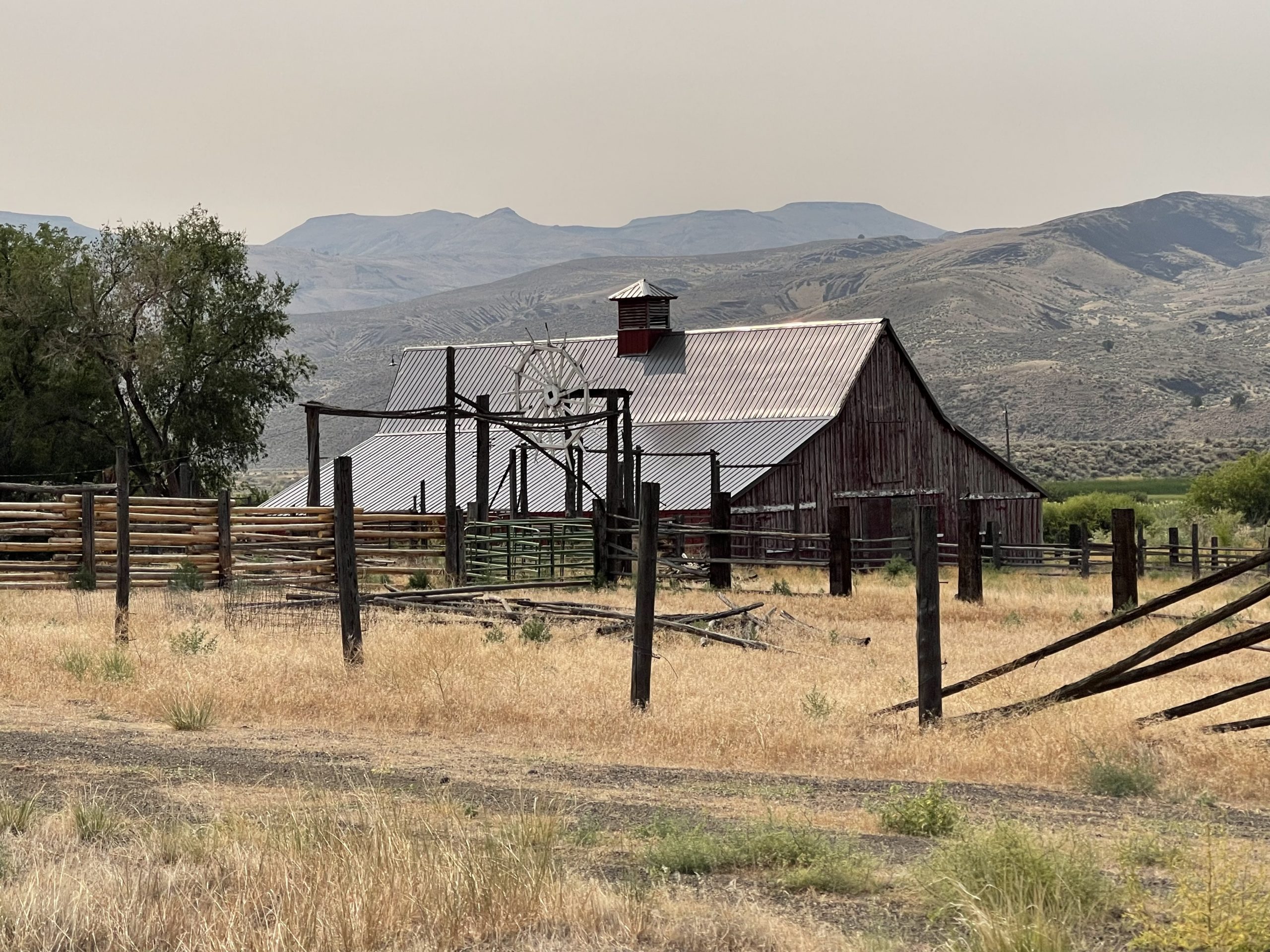
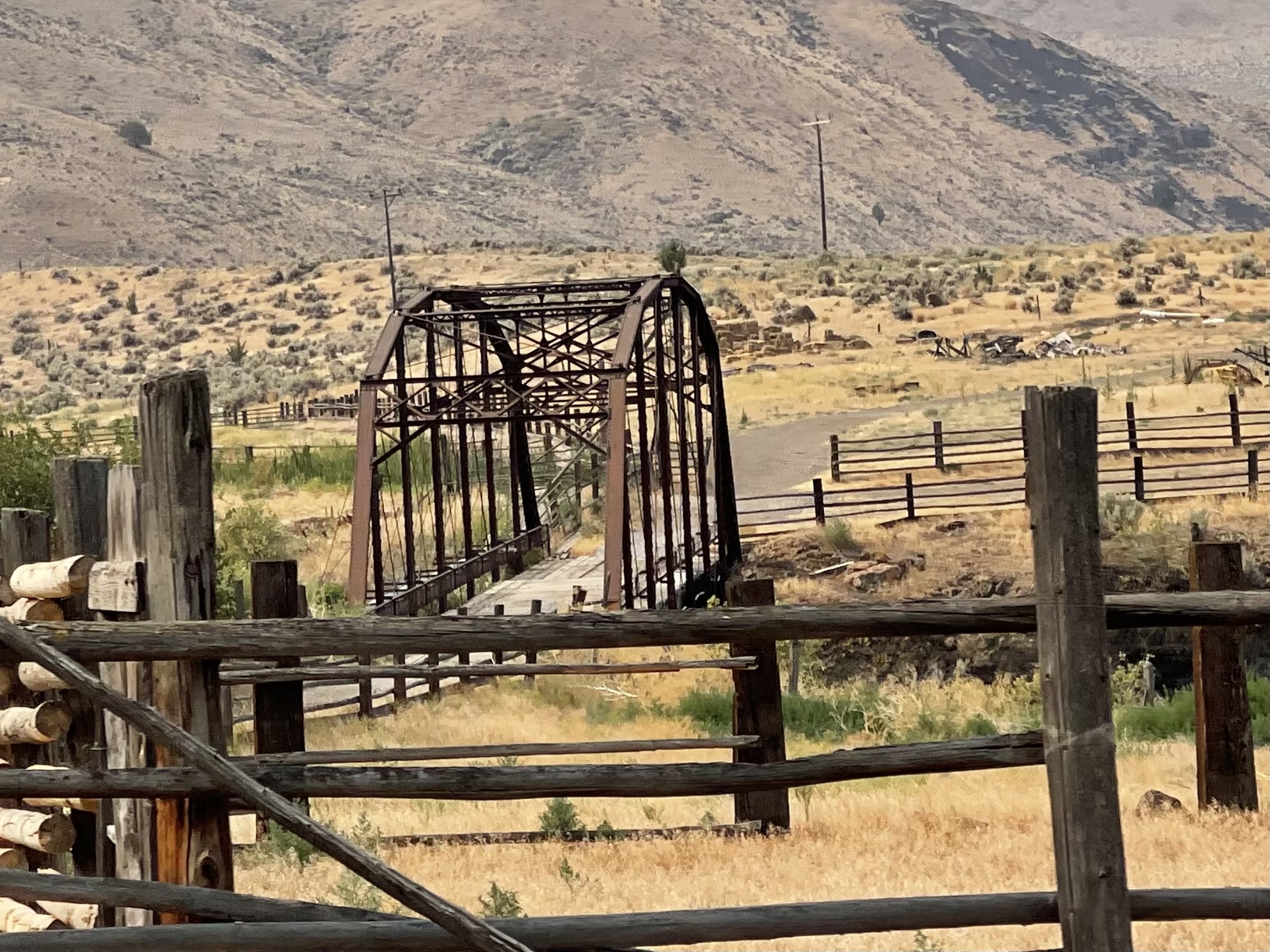
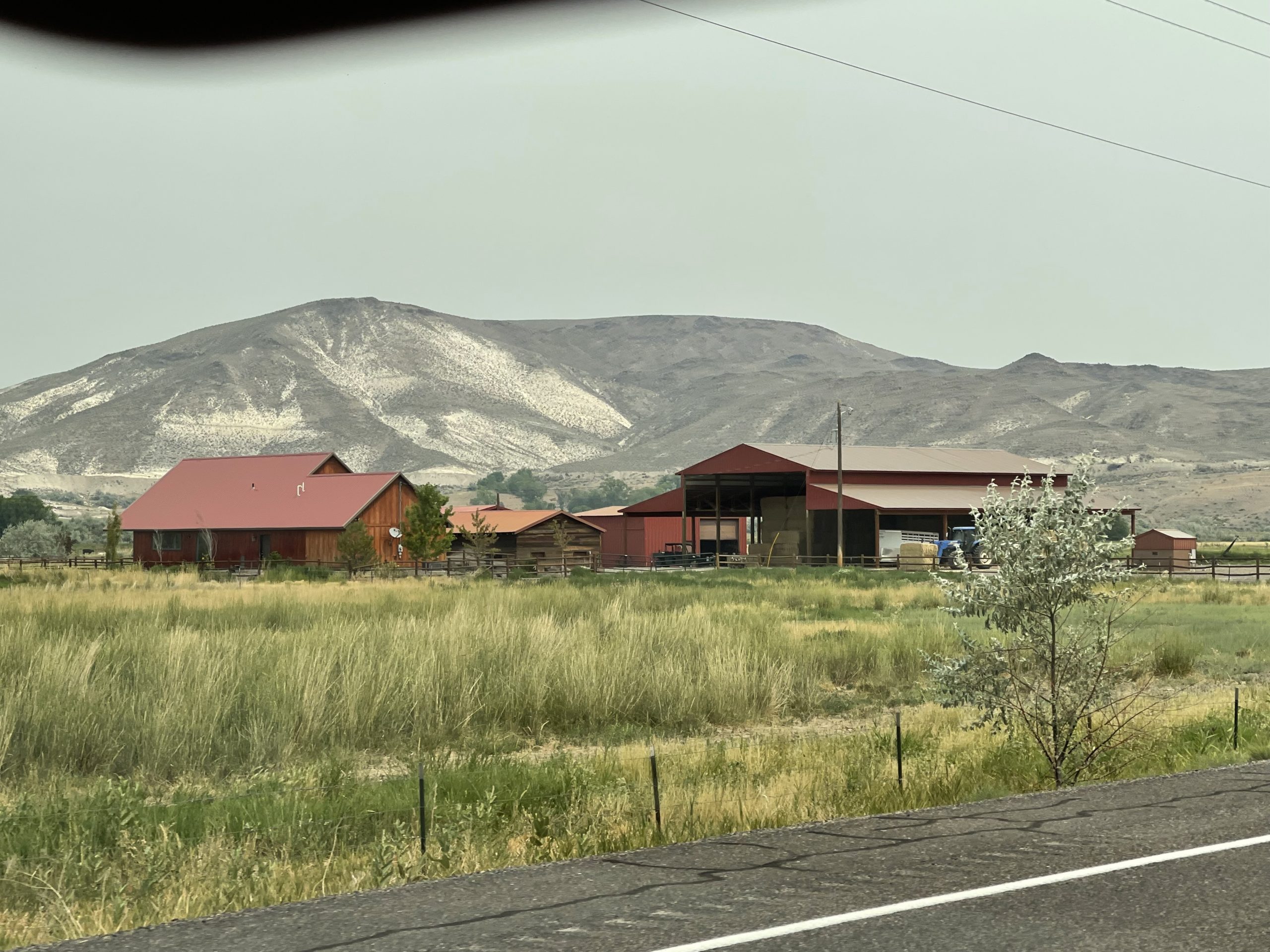
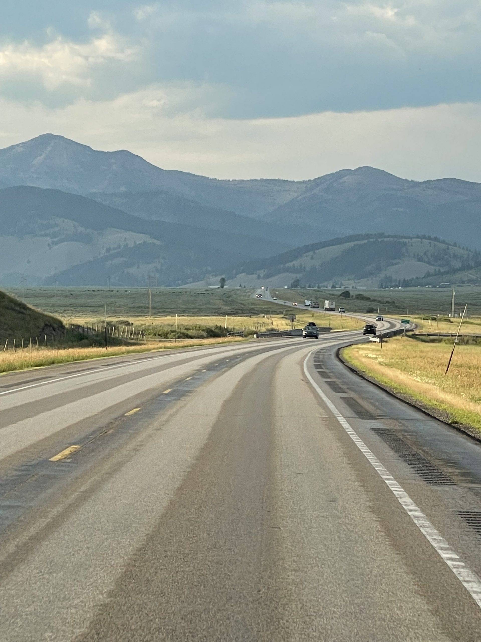
The trip today took us further east, through the high desert region of Burns and Hines, Oregon.
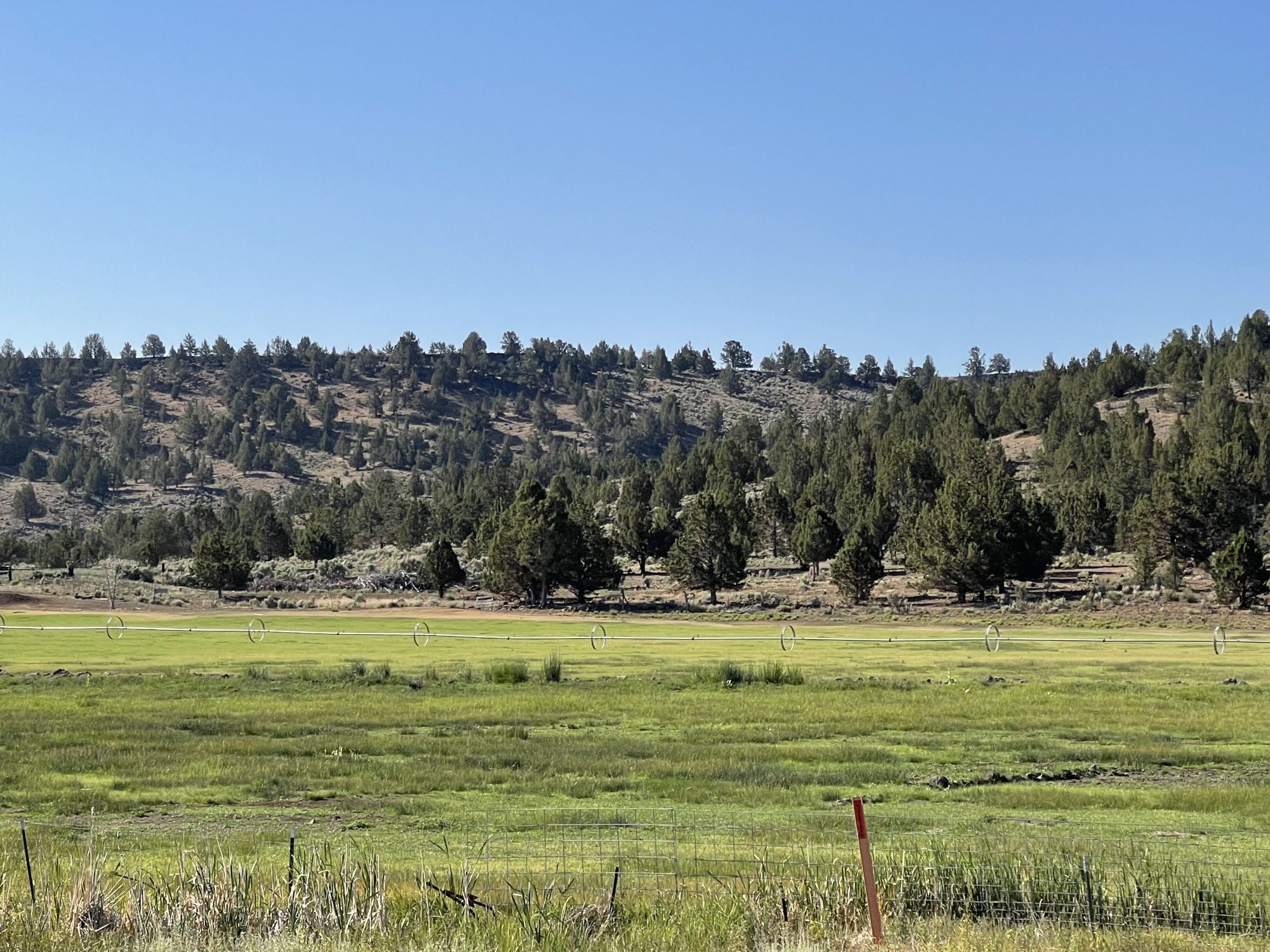
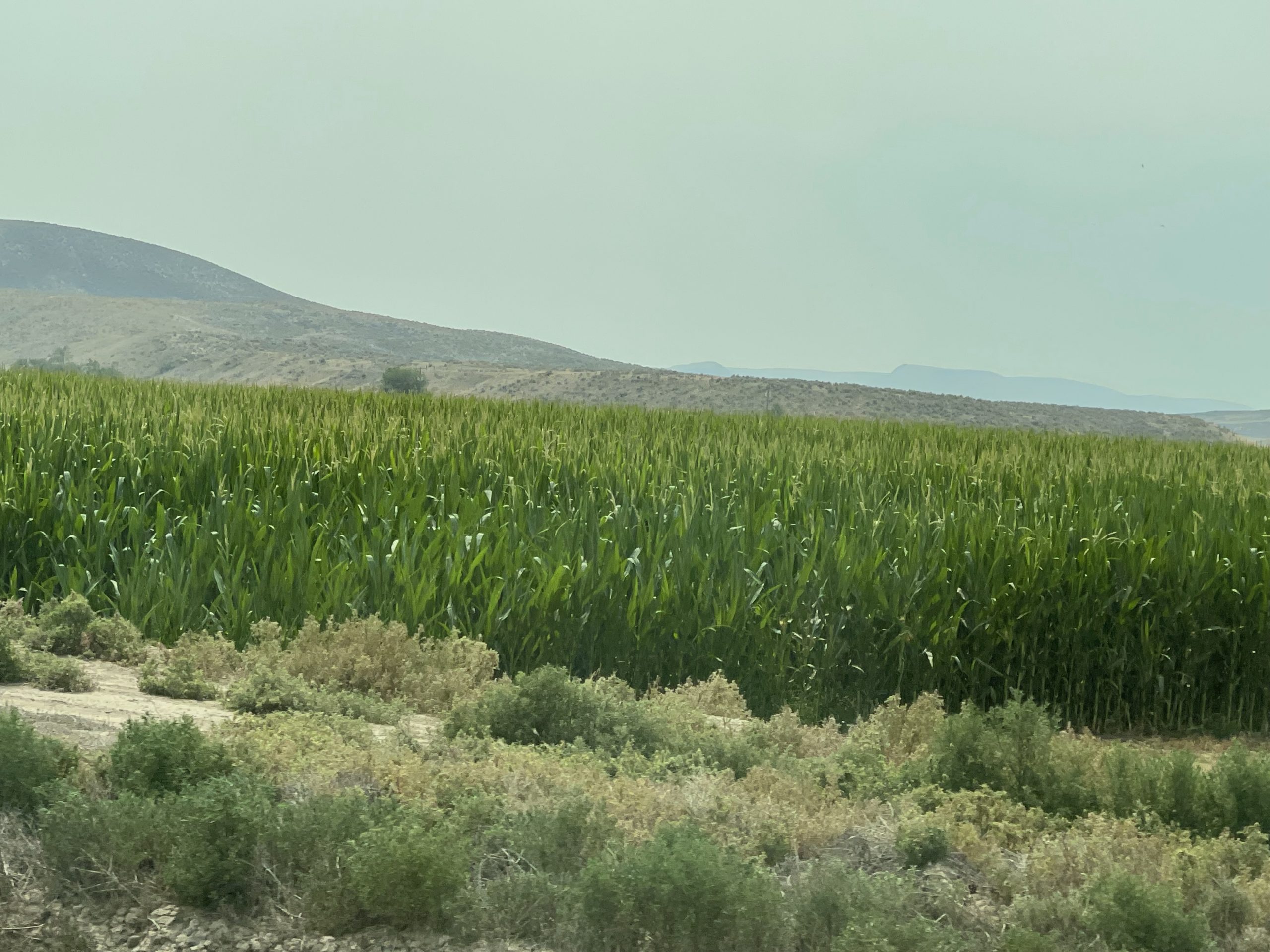
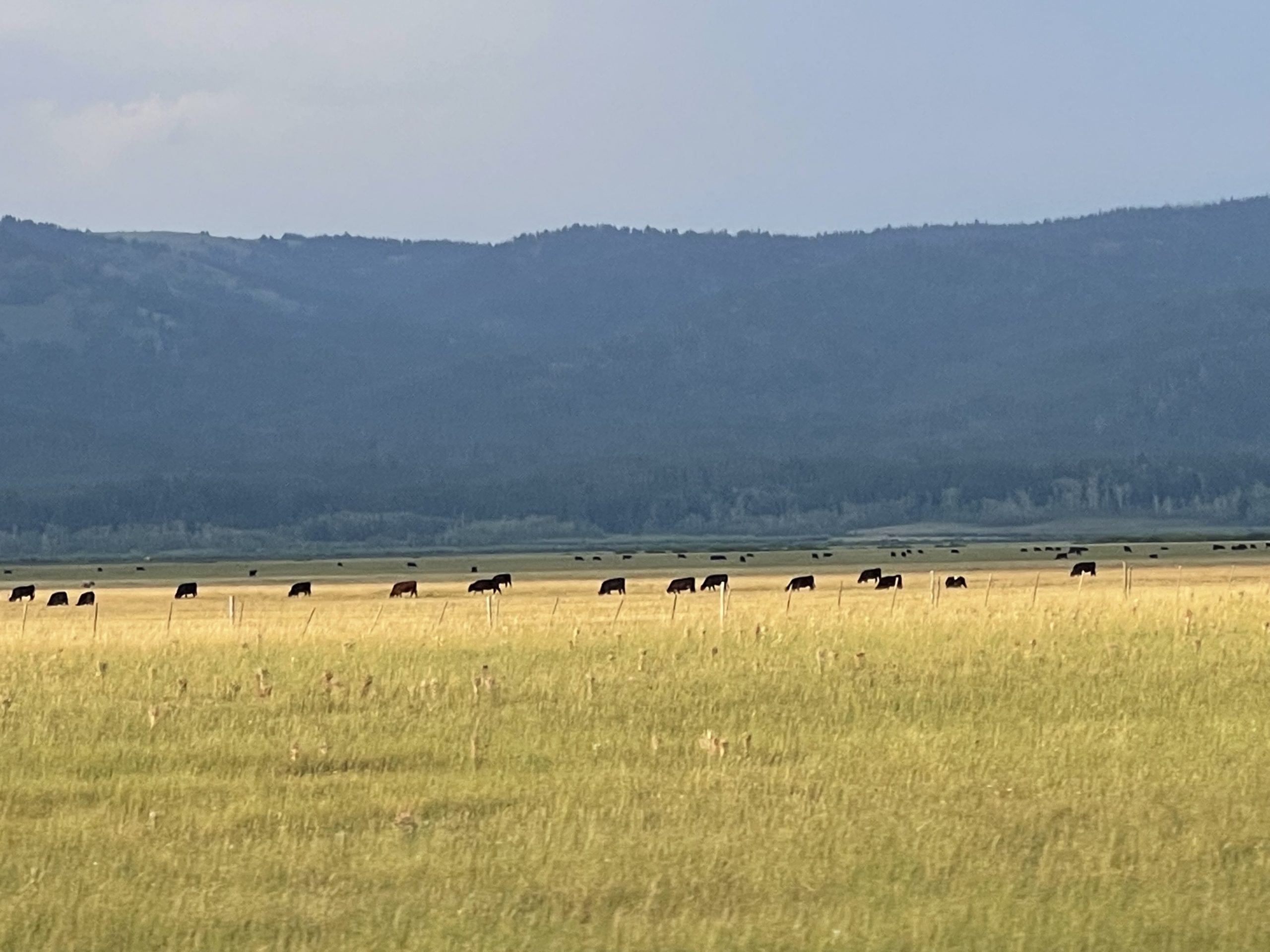
The barrenness of the high desert region eventually gave way to bits of green, first found in small evergreens, then in pasture and hay fields, and finally in a few green corn fields, irrigated, of course.
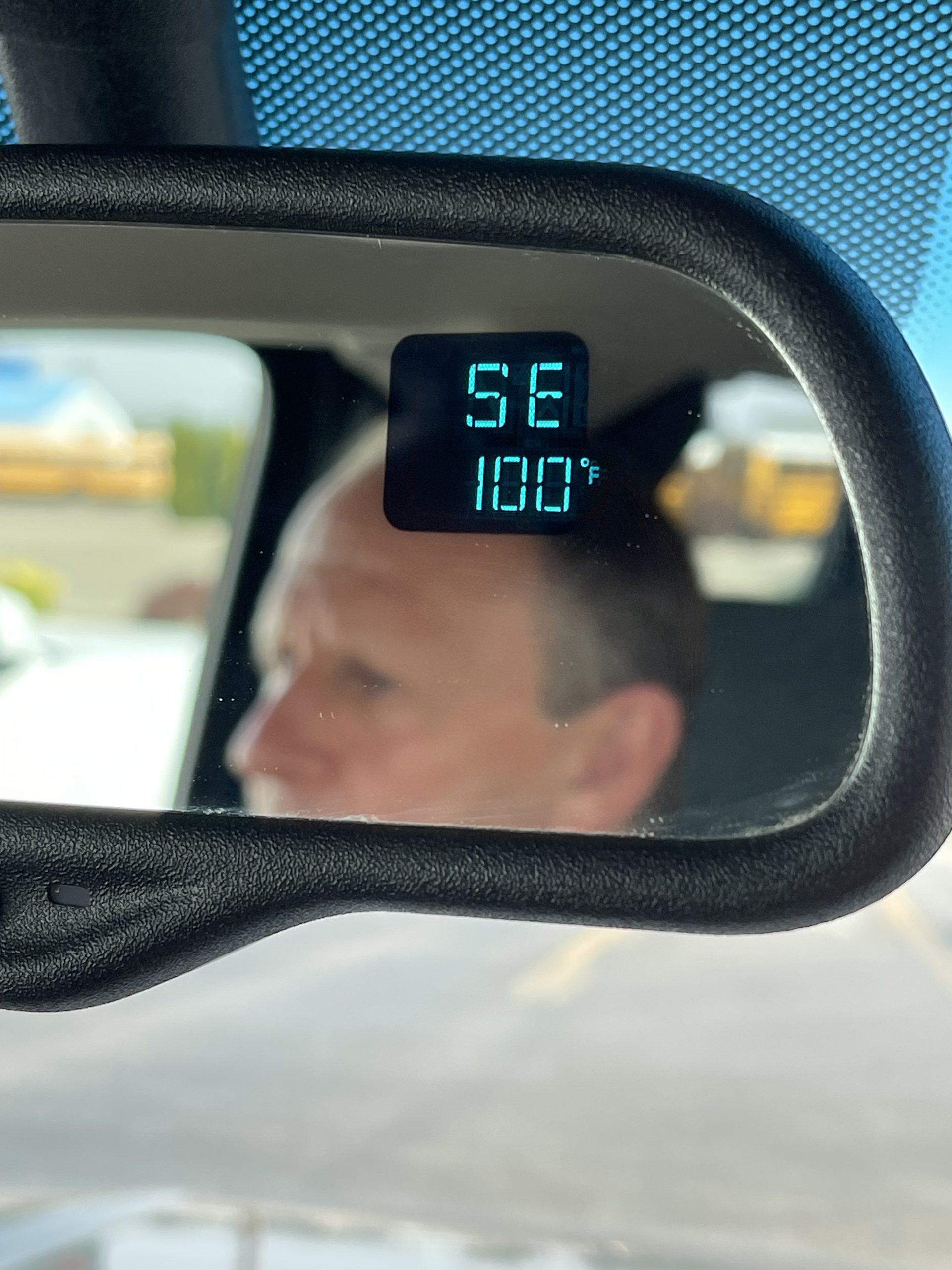
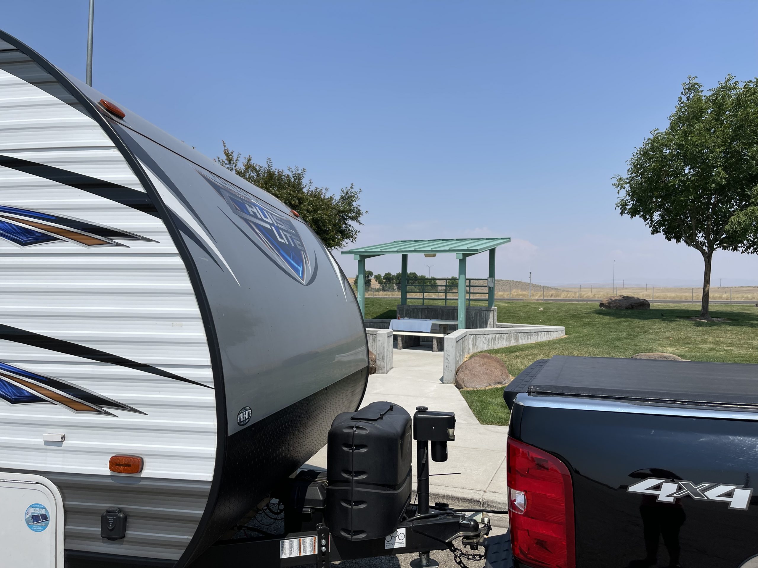
Lunch at rest areas in 95+ degree heat meant finding a picnic table shaded by a small pavilion, as trees were rare.
To look on the map, one would think it a hop, skip, and a jump to cross into Idaho and up to the edge of West Yellowstone, but in reality, it was a long drive. It required another overnight, one which we had expected to spend at a Walmart parking lot or at a roadside rest area, but we had a problem with either: the intense heat, which permeated the surface of our trailer with no means of release without electricity to run the AC or even our little fan. So, I called ahead and booked us a site at Mountain Home, Idaho. The campground and campsite left much to be desired, but we were just thankful to refresh the inside of the trailer with AC!
Ron stopped along the road occasionally to cool the truck in this heat.
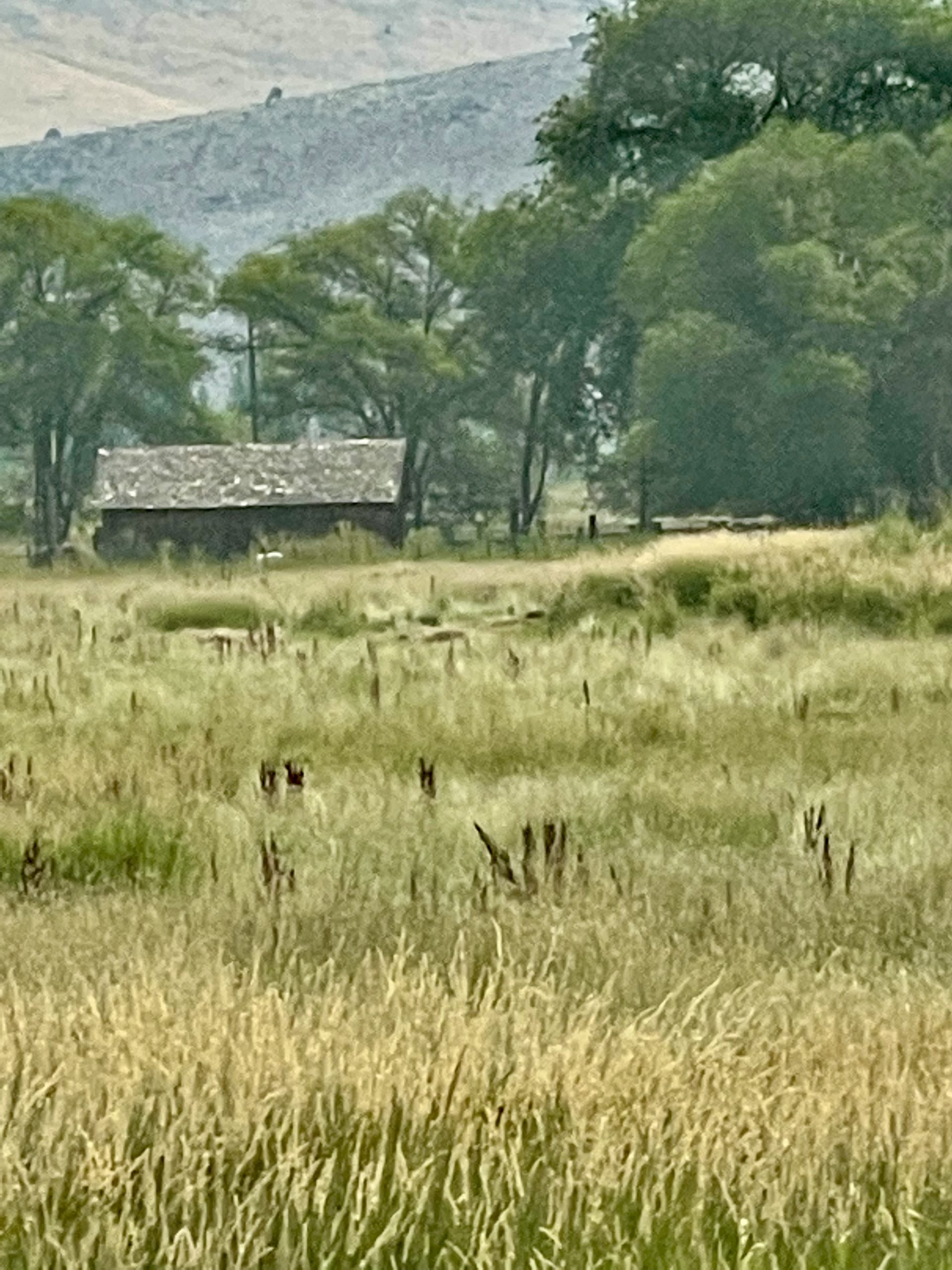
The landscape was fascinating. In spite of the heat, I was thankful for these two days of the trip itself through Oregon and Idaho.
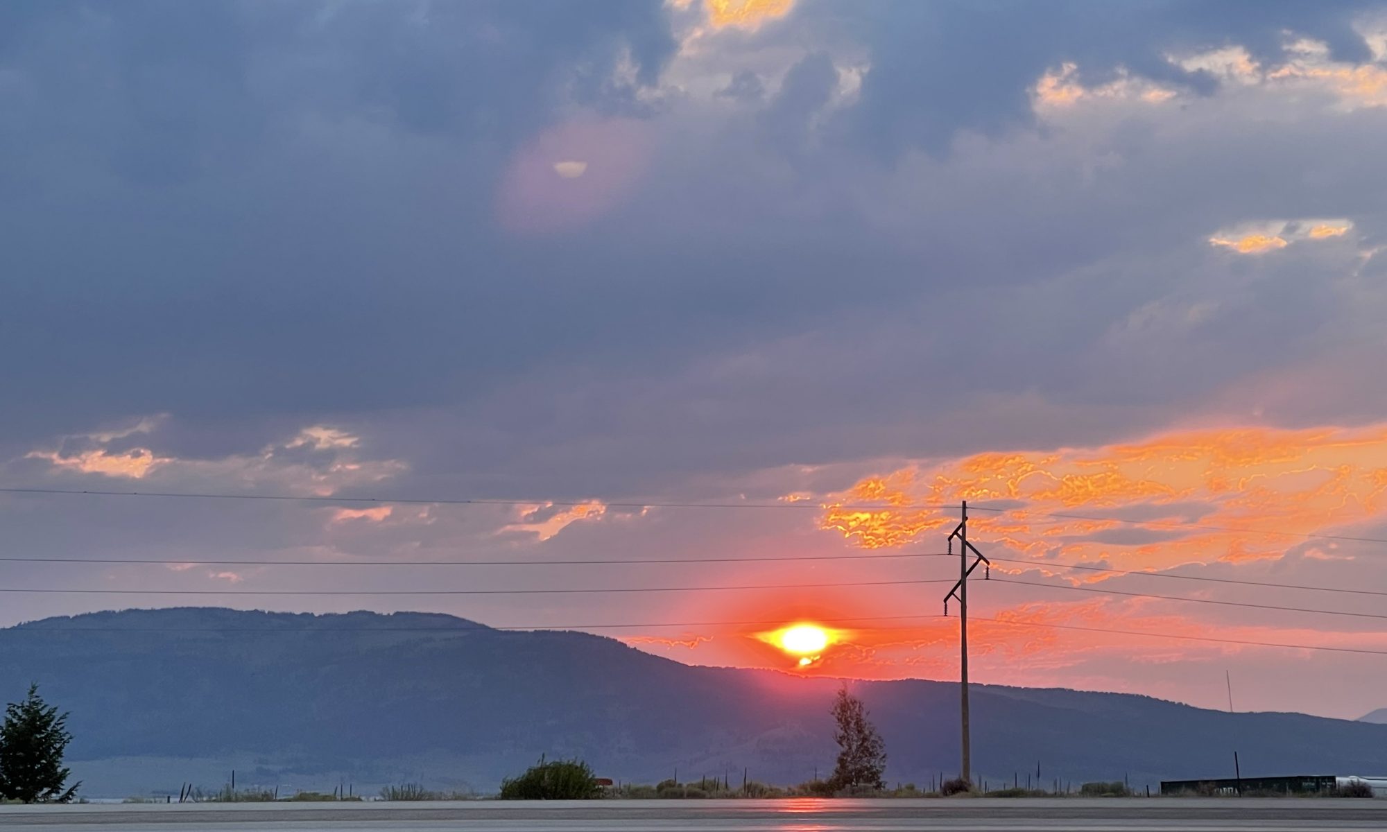
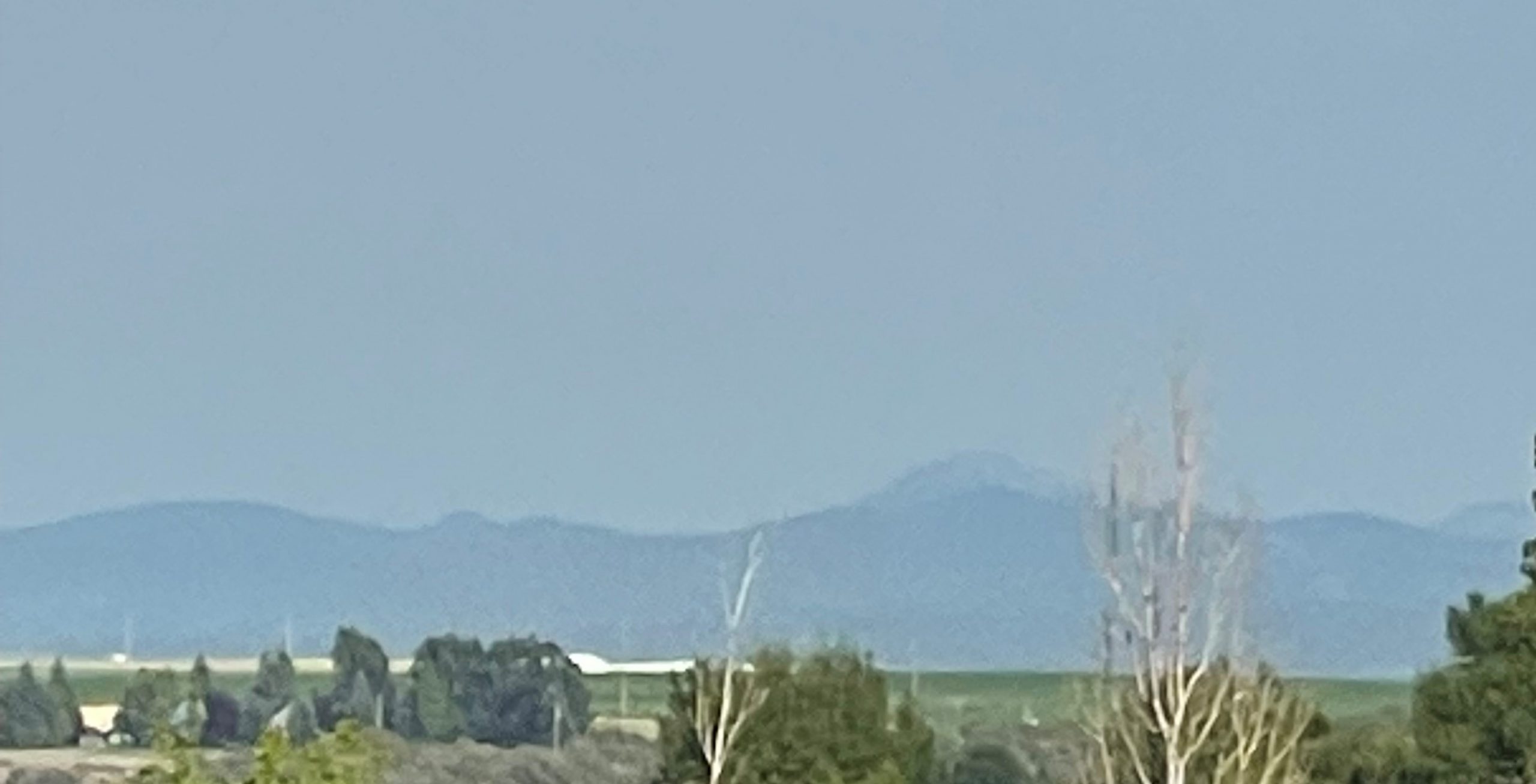
Late in this 22nd day, the Tetons loomed to the east as we turned north toward Montana.
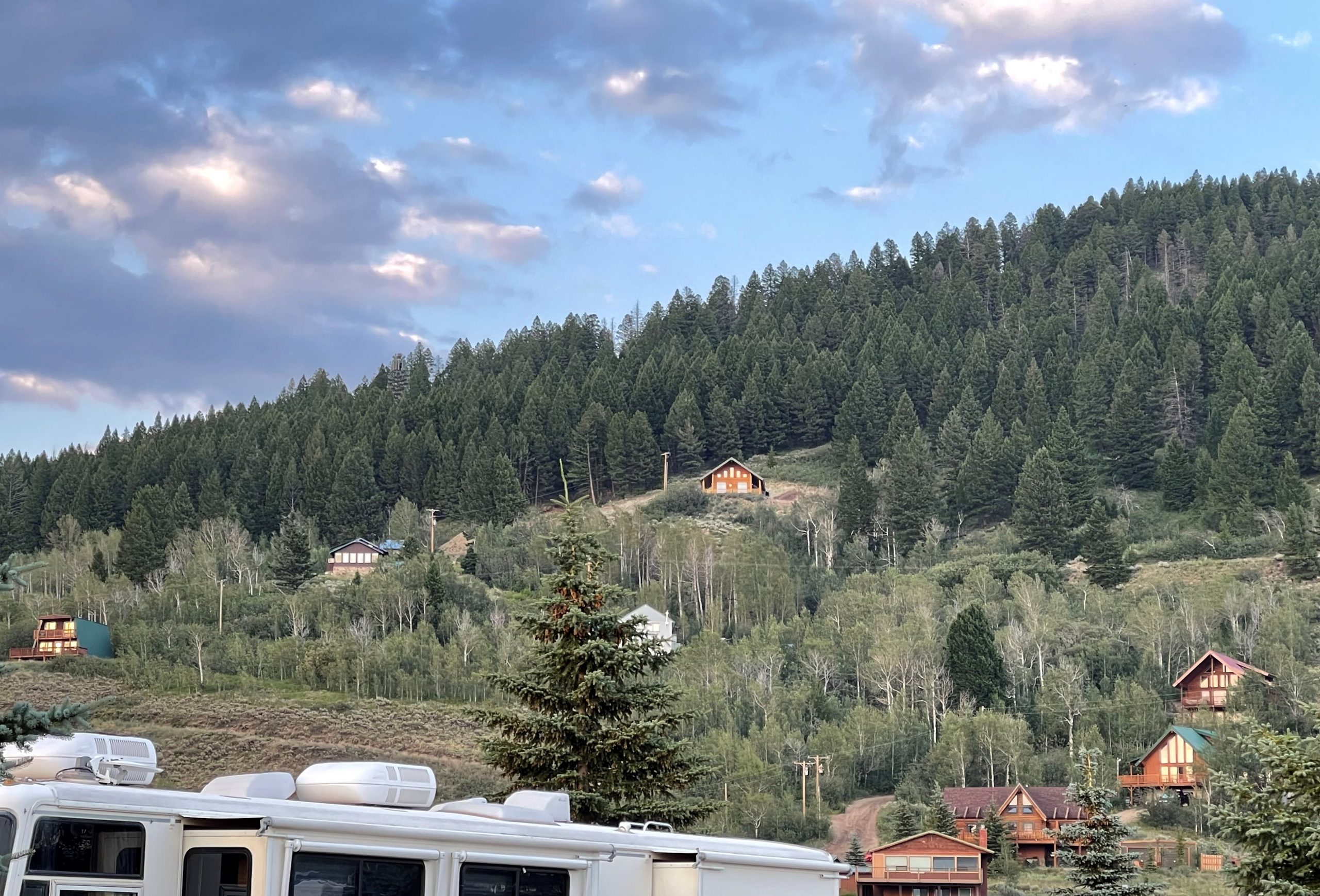
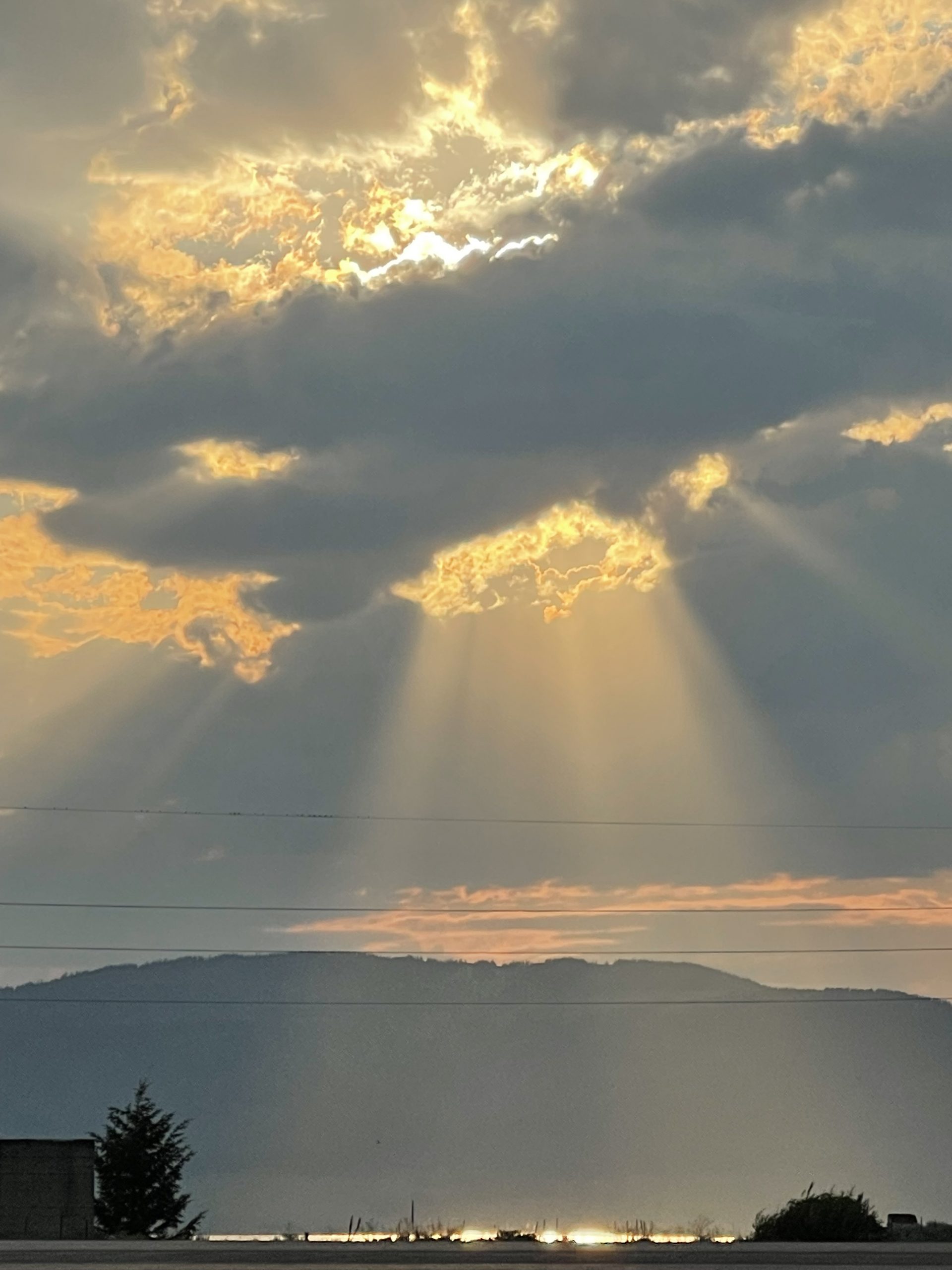
We settled in to our campsite just before dark. Behind us, chalets dotted the mountainside. To the west, the sun set, the end to another beautiful day of the trip itself.
Tomorrow, our destination would actually be Yellowstone.